Baton Rouge in East Baton Rouge Parish, Louisiana — The American South (West South Central)
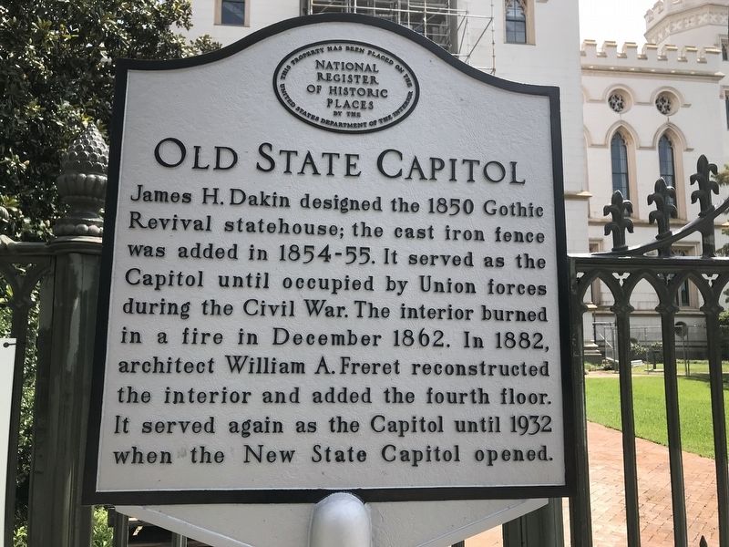
Old State Capitol
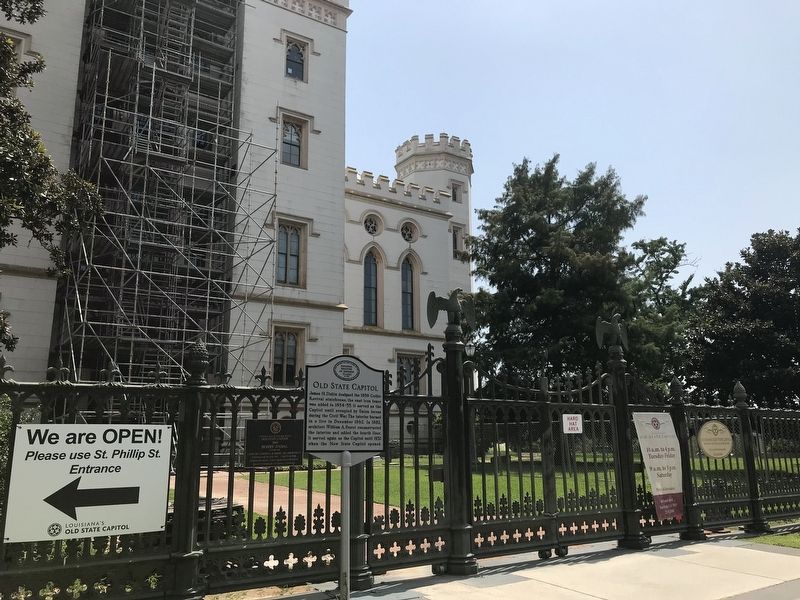
James H. Dakin designed the 1850 Gothic Revival statehouse; the cast iron fence was added 1854-55. It served as the Capitol until occupied by Union forces during the Civil War. The interior burned in a fire in December 1862.In 1882, architect William A. Freret reconstructed the interior and added the fourth floor. It served again as the Capitol until 1932 when the New State Capitol opened.
Topics. This historical marker is listed in these topic lists: Architecture • Government & Politics • Notable Buildings.
Location. 30° 26.819′ N, 91° 11.34′ W. Marker is in Baton Rouge, Louisiana, in East Baton Rouge Parish. Marker is on North Boulevard east of Lafayette Street, on the right when traveling east. Touch for map. Marker is in this post office area: Baton Rouge LA 70802, United States of America. Touch for directions.
Other nearby markers. At least 8 other markers are within walking distance of this marker. A different marker also named Old State Capitol (a few steps from this marker); a different marker also named Old State Capitol (within shouting distance of this marker); Merci Train (within shouting distance of this marker); Battle of Baton Rouge (within shouting distance of this marker); The Founding Of Baton Rouge (within shouting distance of this marker); a different marker also named Merci Train (within shouting distance of this marker); a different marker also named Old State Capitol (within shouting distance of this marker); Louisiana's Old State Capitol (within shouting distance of this marker). Touch for a list and map of all markers in Baton Rouge.
Credits. This page was last revised on July 25, 2021. It was originally submitted on July 25, 2021, by Cajun Scrambler of Assumption, Louisiana. This page has been viewed 120 times since then and 10 times this year. Photos: 1, 2. submitted on July 25, 2021, by Cajun Scrambler of Assumption, Louisiana.

