Yankton in Yankton County, South Dakota — The American Midwest (Upper Plains)
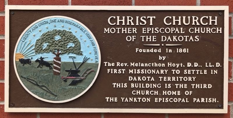
Christ Church
Mother Episcopal Church of the Dakotas
July 18, 2021
1. Christ Church Marker
by
The Rev. Melancthon Hoyt, D.D., LL. D.
First Missionary to Settle in
Dakota Territory
This Building is the Third
Church Home of
The Yankton Episcopal Parish.
Erected 1983. (Marker Number 324.)
Topics and series. This historical marker is listed in this topic list: Religion & Religious Structures. In addition, it is included in the South Dakota State Historical Society Markers series list. A significant historical year for this entry is 1861.
Location. 42° 52.417′ N, 97° 23.562′ W. Marker is in Yankton, South Dakota, in Yankton County. It is at the intersection of West 6th Street and Douglas Avenue, on the right when traveling east on West 6th Street. Touch for map. Marker is at or near this postal address: 517 Douglas Ave, Yankton SD 57078, United States of America. Touch for directions.

Regionally, this marker is in the Yankton Sioux Tribe and in East River. It is also in the American Midwest, in the Lewis & Clark Corridor, in the Corn Belt, on the prairies, and on the Northern Plains. Globally, it is in North America, the Western Hemisphere, the Western World, and the Anglosphere.
this page online
Other nearby markers. At least 8 other markers are within walking distance of this marker: Cramer - Kenyon Home (approx. 0.2 miles away); Pine Street Bridge (approx. 0.2 miles away); Historic Highway (approx. 0.2 miles away); First Capitol Building of Dakota Territory (approx. 0.2 miles away); First Territorial Capital (approx. 0.2 miles away); North Wall Yankton Stockade (approx. ¼ mile away); Trial of Jack McCall for Murder of "Wild Bill" (approx. ¼ mile away); East Wall Yankton Stockade (approx. ¼ mile away). Touch for a list and map of all markers in Yankton.
July 18, 2021
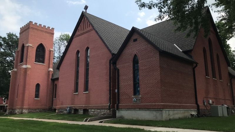
2. Christ Church & Marker, from the northeast
July 18, 2021
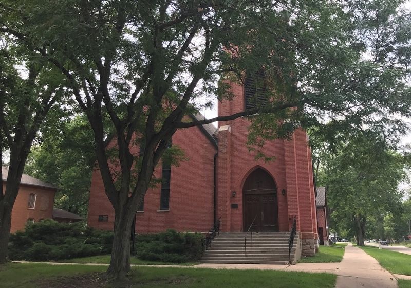
3. Christ Church & Eastside Marker
Credits. This page was last revised on July 26, 2021. It was originally submitted on July 23, 2021. This page has been viewed 219 times since then and 23 times this year. Last updated on July 25, 2021. Photos: 1, 2, 3. submitted on July 23, 2021. • Bill Pfingsten was the editor who published this page.
