Benton in Polk County, Tennessee — The American South (East South Central)
Civil War in Polk County
A Divided Land
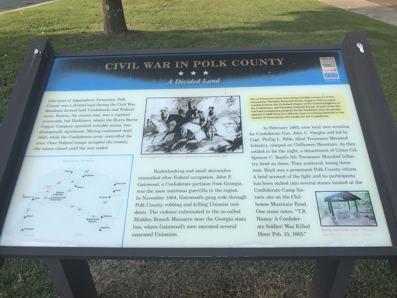
Bushwhacking and small skirmishes intensified after Federal occupation. John P. Gatewood, a Confederate partisan from Georgia, was the most notorious guerrilla in the region. In November 1864, Gatewood's gang rode through Polk County, robbing and killing Unionist residents. The violence culminated in the so-called Madden Branch Massacre near the Georgia state line, where Gatewood's men executed several unarmed Unionists.
In February 1865, nine local men scouting for Confederate Gen. John C. Vaughn and led by Capt. Phillip L. Bible, 62nd Tennessee Mounted Infantry, camped on Chilhowee Mountain. As they settled in for the night, a detachment of Union Col. Spencer C. Boyd's 5th Tennessee Mounted Infantry fired on them. They scattered, losing three men. Boyd was a prominent Polk County citizen. A brief account of the fight and its participants has been etched into several stones located at the Confederate Camp historic site on the Chilhowee Mountain Road. One stone notes: "T.B. Haney/ A Confederate Soldier/ Was Killed Here/ Feb. 15, 1865."
[Sidebar] One of Tennessee's most interesting mid-20th-century Civil War monuments, Cherokee Memorial Forest, began in 1942 as a partnership between the Cleveland chapter of the United Daughters of the Confederacy and Cherokee National Forest. As part of the federal land reclamation program for the Ducktown area, the groups planted 115,000 trees on a 103-acre tract as a living memorial to the number of Tennesseans who fought for the Confederacy.
Captions:
(Center) Bushwhackers in action. Junius Henry Browne engraving, 1865
(Right) Haney memorial stone — Tennessee Civil War National Historic Area
Erected by Tennessee Civil War Trails.
Topics and series. This historical marker is listed in this topic list: War, US Civil. In addition, it is included in the Tennessee Civil War Trails series list. A significant historical month for this entry is February 1865.
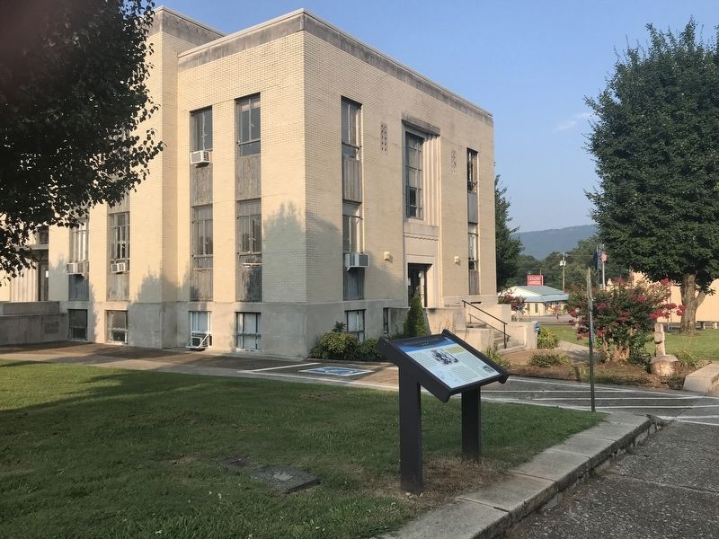
Location. 35° 10.399′ N, 84° 39.213′ W. Marker is in Benton, Tennessee, in Polk County. Marker is at the intersection of Benton Station Road and Ward Street, on the right when traveling west on Benton Station Road. Marker is on the Polk County Courthouse grounds. Touch for map. Marker is in this post office area: Benton TN 37307, United States of America. Touch for directions.
Other nearby markers. At least 8 other markers are within 6 miles of this marker, measured as the crow flies. Polk County World Wars Memorial (within shouting distance of this marker); Polk County Veterans Monument (within shouting distance of this marker); Polk County Confederate Monument (within shouting distance of this marker); Bear Lawson Bridge (approx. 1˝ miles away); Nancy Ward (approx. 1.6 miles away); a different marker also named Nancy Ward (approx. 1.6 miles away); Historic Benton Station (approx. 1.9 miles away); Ocoee No. 1 (approx. 5.3 miles away). Touch for a list and map of all markers in Benton.
Related marker. Click here for another marker that is related to this marker.
Credits. This page was last revised on July 26, 2021. It was originally submitted on July 26, 2021, by Duane and Tracy Marsteller of Murfreesboro, Tennessee. This page has been viewed 631 times since then and 107 times this year. Photos: 1, 2. submitted on July 26, 2021, by Duane and Tracy Marsteller of Murfreesboro, Tennessee.

