Bayou Meto in Arkansas County, Arkansas — The American South (West South Central)
Bayou Meto United Methodist Church
Inscription.
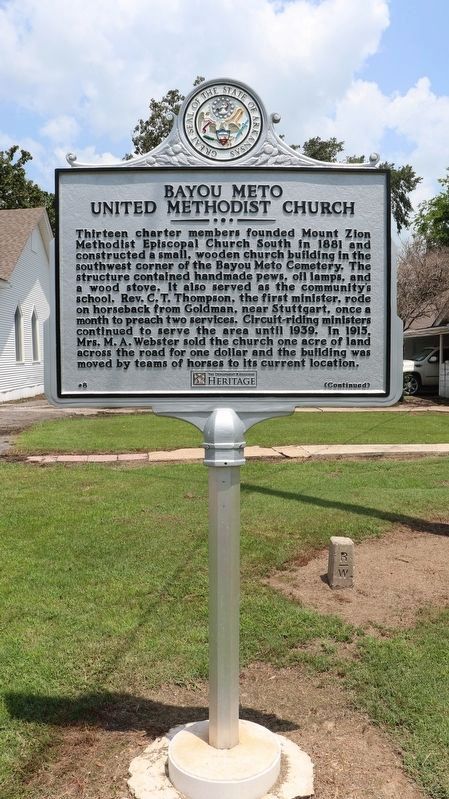
Thirteen charter members founded Mount Zion Methodist Episcopal Church South in 1881 and constructed a small, wooden church building in the southwest corner of the Bayou Meto Cemetery. The structure contained handmade pews, oil lamps, and a wood stove. It also served as the community's school. Rev. C. T. Thompson, the first minister, rode on horseback from Goldman, near Stuttgart, once a month to preach two services. Circuit-riding ministers continued to serve the area until 1939. In 1915, Mrs. M. A. Webster sold the church one acre of land across the road for one dollar and the building was moved by teams of horses to its current location.
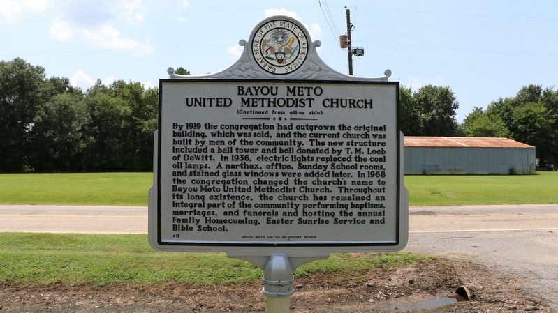
By 1919 the congregation had outgrown the original building, which was sold, and the current church was built by men of the community. The new structure included a bell tower and bell donated by T. M. Loeb of DeWitt. In 1936, electric lights replaced the coal oil lamps. A narthex, office, Sunday School rooms, and stained glass windows were added later. In 1968 the congregation changed the church’s name to Bayou Meto United Methodist Church. Throughout its long existence, the church has remained an integral part of the community performing baptisms, marriages, and funerals and hosting the annual Family Homecoming, Easter Sunrise Service and Bible School.
Erected 2021 by Bayou Meto United Methodist Women; Department of Arkansas Heritage. (Marker Number 8.)
Topics and series. This historical marker is listed in these topic lists: Churches & Religion • Education • Settlements & Settlers. In addition, it is included in the United Methodist Church Historic Sites series list. A significant historical year for this entry is 1881.
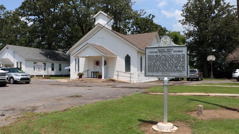
Location. 34° 13.406′ N, 91° 31.162′ W. Marker is in Bayou Meto, Arkansas, in Arkansas County. Marker is on State Highway 276, 0.1 miles east of Riley Lane (Highway 276 Spur), on the left when traveling east. The marker stands in front of the Bayou Meto United Methodist Church building, to the right of the parking lot when facing the building from the highway. Touch for map. Marker is at or near this postal address: 1084 Hwy 276, Stuttgart AR 72160, United States of America. Touch for directions.
Other nearby markers. At least 8 other markers are within 17 miles of this marker, measured as the crow flies. Bayou Meto Cemetery (about 500 feet away, measured in a direct line); Bayou Meto Schoolhouse (approx. 0.4 miles away); South Bend Plantation (approx. 12.1 miles away); A.M. Bohnert Rice Plantation Pump No. 2 Engine (approx. 15 miles away); Battle of Arkansas Post (approx. 15.6 miles away); Immanuel High School (approx. 16.7 miles away); 38,000 Reasons to Fight
(approx. 17 miles away); Four guns...opened on us and a thousand rifles from the pits (approx. 17.1 miles away). Touch for a list and map of all markers in Bayou Meto.
More about this marker. The Mount Zion Methodist Episcopal Church mentioned in the marker is United Methodist Church Registered Historical Site No. 289.
Credits. This page was last revised on August 19, 2023. It was originally submitted on July 26, 2021, by Ashley Sides of Little Rock, Arkansas. This page has been viewed 184 times since then and 29 times this year. Photos: 1. submitted on July 26, 2021, by Ashley Sides of Little Rock, Arkansas. 2, 3. submitted on July 27, 2021, by Ashley Sides of Little Rock, Arkansas. • Devry Becker Jones was the editor who published this page.


