Near Knight's Ferry in Stanislaus County, California — The American West (Pacific Coastal)
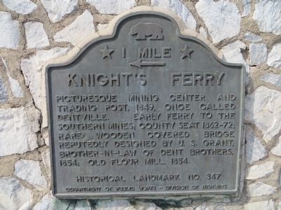
Knight's Ferry
← 1 Mile
Erected by California State Department of Public Work, Division of Highways. (Marker Number 347.)
Topics and series. This historical marker is listed in these topic lists: Notable Places • Settlements & Settlers. In addition, it is included in the California Historical Landmarks, the Chinese Heritage Sites of the American West, and the Covered Bridges series lists. A significant historical year for this entry is 1849.
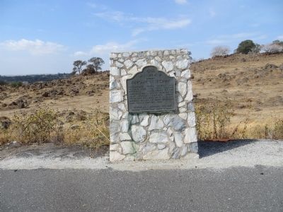
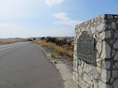
Location. 37° 49.061′ N, 120° 39.178′ W. Marker is near Knight's Ferry, California, in Stanislaus County. Marker is on California Route 120, 0.3 miles east of Sonora Road, on the right when traveling west. Touch for map. Marker is in this post office area: Oakdale CA 95361, United States of America. Touch for directions.
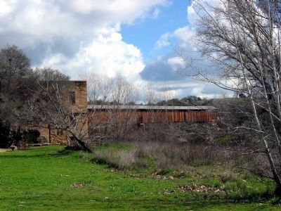
Other nearby markers. At least 12 other markers are within one mile of this marker, measured as the crow flies. Buena Vista (approx. half a mile away); Knight's Ferry Bridge (approx. 0.6 miles away); The Ancient and Honorable Order of E Clampus Vitus (approx. 0.7 miles away); Knights Ferry Covered Bridge (approx. 0.7 miles away); Mill House (approx. 0.7 miles away); Tulloch’s Mill (approx. 0.7 miles away); Power Generation (approx. 0.7 miles away); a different marker also named Knight's Ferry (approx. 0.9 miles away); Knights Ferry No. 2 (approx. one mile away); Knights Ferry - The Store (approx. one mile away); Miller's Saloon (approx. one mile away); a different marker also named Knight's Ferry (approx. one mile away).
More about this marker. An identical marker is located one mile west, on the other side of the highway.
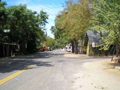
The town is located north of the highway, on the north bank of the Stanislaus River.
Credits. This page was last revised on February 1, 2024. It was originally submitted on October 26, 2013. This page has been viewed 424 times since then and 20 times this year. Last updated on July 27, 2021. Photos: 1, 2, 3. submitted on October 26, 2013, by Bill Kirchner of Tucson, Arizona. 4. submitted on October 2, 2008, by Syd Whittle of Mesa, Arizona. 5. submitted on September 4, 2007, by Mathew H. Kohnen of San Jose, California. • J. Makali Bruton was the editor who published this page.
