Mt. Juliet in Wilson County, Tennessee — The American South (East South Central)
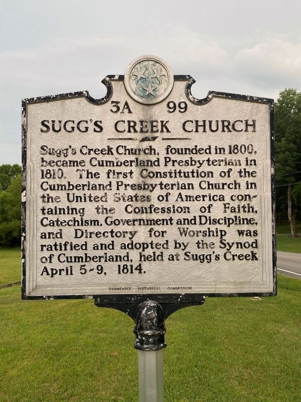
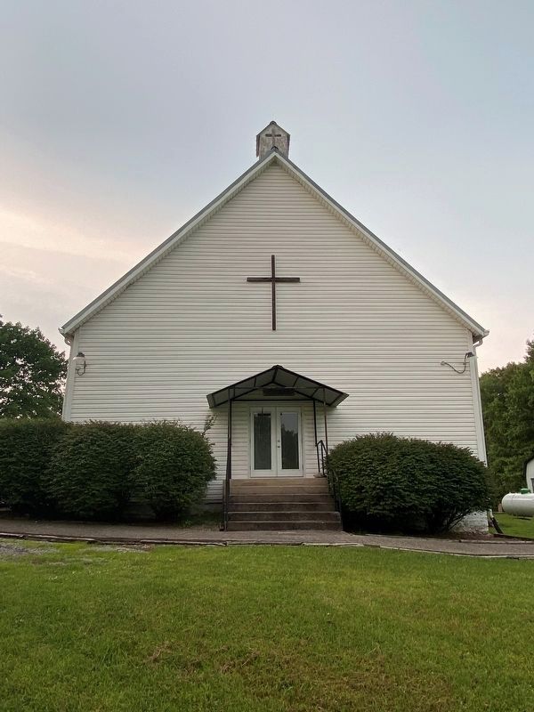
Sugg's Creek Church
Erected by Tennessee Historical Commission. (Marker Number 3A 99.)
Topics and series. This historical marker is listed in this topic list: Churches & Religion. In addition, it is included in the Tennessee Historical Commission series list. A significant historical date for this entry is April 5, 1819.
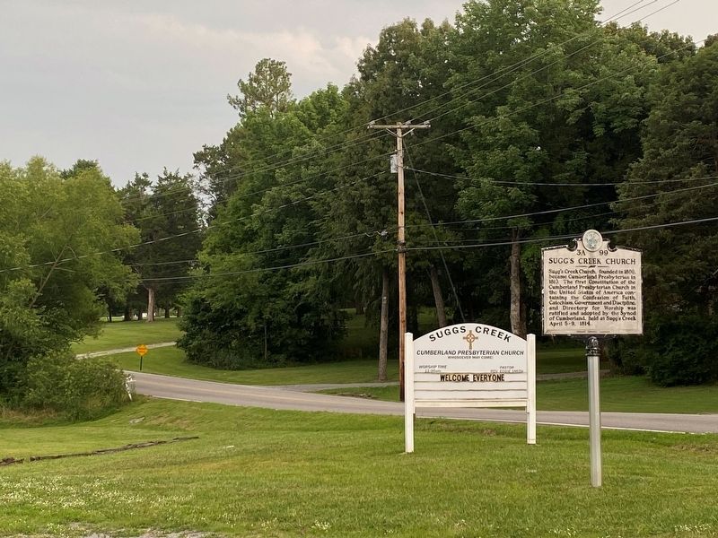
Location. 36° 6.871′ N, 86° 29.755′ W. Marker is in Mt. Juliet, Tennessee, in Wilson County. Marker is at the intersection of Corinth Road and Hamblen Lane, on the left when traveling south on Corinth Road. Touch for map. Marker is at or near this postal address: 390a Corinth Rd, Mount Juliet TN 37121, United States of America. Touch for directions.
Other nearby markers. At least 8 other markers are within 8 miles of this marker, measured as the crow flies. Skirmishes at Rural Hill (a few steps from this marker); Sherrod Bryant (approx. 3.2 miles away); Benjamin Hooker 1764-1834 / John Rice 1780-1853 (approx. 4.2 miles away); Percy Priest Lake (approx. 6.2 miles away); New Hope Baptist Church (approx. 6.4 miles away); Mt. Olivet Baptist Church (approx. 6.7 miles away); Charlie Daniels (approx. 7˝ miles away); Mary Kate Patterson Davis Hill Kyle (approx. 8 miles away). Touch for a list and map of all markers in Mt. Juliet.
Credits. This page was last revised on July 27, 2021. It was originally submitted on July 27, 2021, by Darren Jefferson Clay of Duluth, Georgia. This page has been viewed 180 times since then and 23 times this year. Photos: 1, 2, 3, 4. submitted on July 27, 2021, by Darren Jefferson Clay of Duluth, Georgia. • Devry Becker Jones was the editor who published this page.


