Branchland in Lincoln County, West Virginia — The American South (Appalachia)
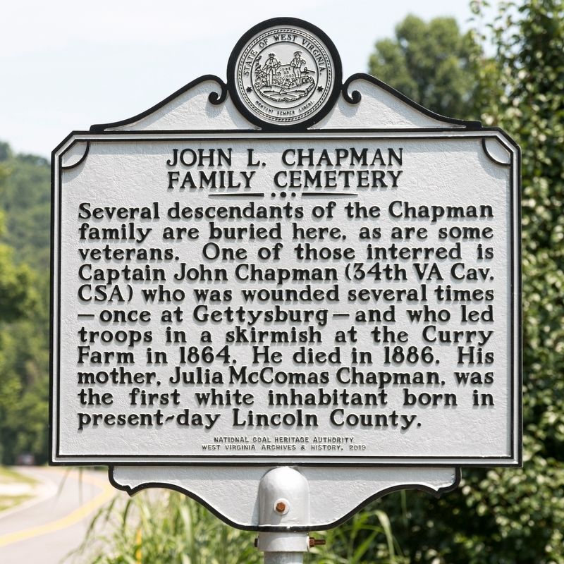
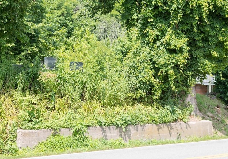
John L. Chapman Family Cemetery
Erected 2019 by West Virginia Archives & History.
Topics and series. This historical marker is listed in these topic lists: Settlements & Settlers • War, US Civil. In addition, it is included in the West Virginia Archives and History series list. A significant historical year for this entry is 1864.
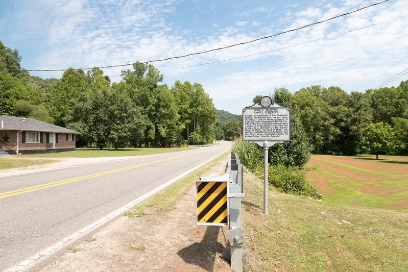
Location. 38° 13.792′ N, 82° 12.243′ W. Marker is in Branchland, West Virginia, in Lincoln County. Marker is on McClellan Highway (West Virginia Route 10) just south of Reubens Branch Road, on the left when traveling south. Touch for map. Marker is at or near this postal address: 4949 McClellan Hwy, Branchland WV 25506, United States of America. Touch for directions.
Other nearby markers. At least 8 other markers are within 13 miles of this marker, measured as the crow flies. Lincoln County Primary Care Center, Inc. (approx. 5.6 miles away); Skirmish at the Curry Farm (approx. 6.2 miles away); Hamlin (approx. 6.2 miles away); Brigadier General Charles E. "Chuck" Yeager (approx. 6˝ miles away); Revolutionary War Soldier’s Grave (approx. 7.8 miles away); Salt Rock (approx. 8.2 miles away); Lincoln County / Putnam County (approx. 11˝ miles away); The Bryan Family (approx. 13.1 miles away).
Credits. This page was last revised on July 30, 2021. It was originally submitted on July 30, 2021, by J. J. Prats of Powell, Ohio. This page has been viewed 297 times since then and 42 times this year. Photos: 1, 2, 3. submitted on July 30, 2021, by J. J. Prats of Powell, Ohio.


