Near Salt Rock in Cabell County, West Virginia — The American South (Appalachia)
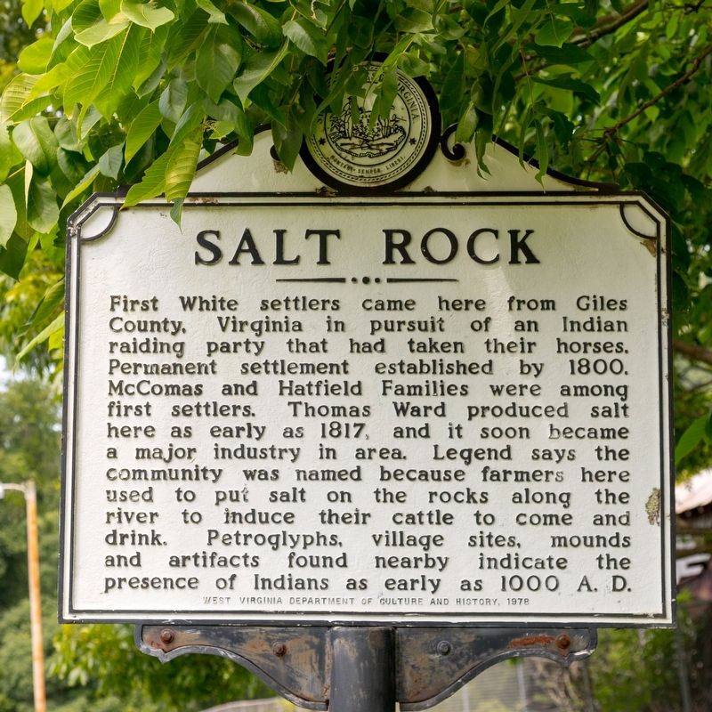
Salt Rock
Erected 1978 by West Virginia Department of Culture and History.
Topics and series. This historical marker is listed in these topic lists: Anthropology & Archaeology • Settlements & Settlers. In addition, it is included in the West Virginia Archives and History series list. A significant historical year for this entry is 1800.
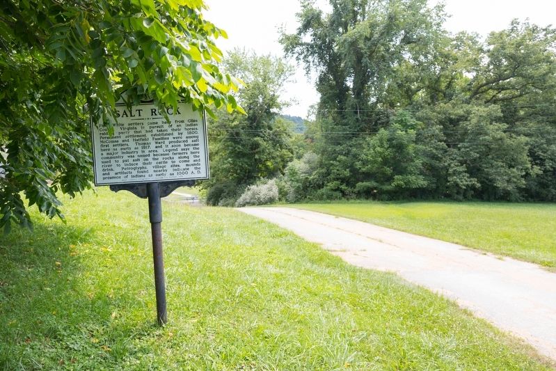
Location. 38° 20.71′ N, 82° 14.374′ W. Marker is near Salt Rock, West Virginia, in Cabell County. Marker can be reached from Roach Road (County Route 45) 0.6 miles north of West Virginia Route 10, on the left when traveling north. It is at Salt Rock Community Park, on the cement driveway across from the baseball field. Touch for map. Marker is at or near this postal address: 4992 Roach Rd, Salt Rock WV 25559, United States of America. Touch for directions.
Other nearby markers. At least 8 other markers are within 6 miles of this marker, measured as the crow flies. Revolutionary War Soldier’s Grave (approx. 4.6 miles away); The Bryan Family (approx. 5.1 miles away); The Flame Of Freedom (approx. 5.3 miles away); Old Toll House (approx. 5.3 miles away); D.A.R. Toll House Museum (approx. 5.3 miles away); 1854 (approx. 5.4 miles away); 1870 (approx. 5.4 miles away); Buffalo Bill (approx. 5.4 miles away).
Credits. This page was last revised on July 30, 2021. It was originally submitted on July 30, 2021, by J. J. Prats of Powell, Ohio. This page has been viewed 761 times since then and 89 times this year. Photos: 1, 2. submitted on July 30, 2021, by J. J. Prats of Powell, Ohio.

