
Wayne in Wayne County, West Virginia — The American South (Appalachia)
Revolutionary War Soldier’s Grave
Samuel Ferguson
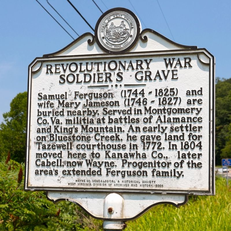
Photographed by J. J. Prats, July 23, 2021
1. Revolutionary War Soldier’s Grave Marker
Erected 2005 by Wayne County Historical & Genealogical Society, and West Virginia Archives and History.
Topics and series. This historical marker is listed in these topic lists: Settlements & Settlers • War, US Revolutionary. In addition, it is included in the West Virginia Archives and History series list. A significant historical year for this entry is 1772.
Location. 38° 13.843′ N, 82° 26.373′ W. Marker is in Wayne, West Virginia, in Wayne County. It is on Central Avenue, also known as 5th Street Road (West Virginia Route 152) just north of 7th Street, on the right when traveling south. Touch for map. Marker is in this post office area: Wayne WV 25570, United States of America. Touch for directions.

Regionally, this marker is in the Kyova Tri-State
this page online
Other nearby markers. At least 8 other markers are within walking distance of this marker: The Grist Mill at Wayne (approx. half a mile away); Wayne County Veteran's Association, Inc. Memorial (approx. 0.6 miles away); Cool Hand Luke (approx. 0.7 miles away); Hendricks Street (approx. 0.7 miles away); Amanda Smith (approx. 0.7 miles away); Wayne County Courthouse (approx. 0.7 miles away); World War Memorial (approx. 0.7 miles away); Milton J. Ferguson (approx. 0.7 miles away). Touch for a list and map of all markers in Wayne.
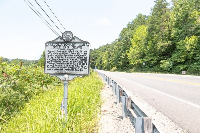
Photographed by J. J. Prats, July 23, 2021
2. Revolutionary War Soldier’s Grave Marker
Credits. This page was last revised on July 30, 2021. It was originally submitted on July 30, 2021, by J. J. Prats of Powell, Ohio. This page has been viewed 877 times since then and 73 times this year. Photos: 1, 2. submitted on July 30, 2021, by J. J. Prats of Powell, Ohio.
