Downtown in Louisville in Jefferson County, Kentucky — The American South (East South Central)
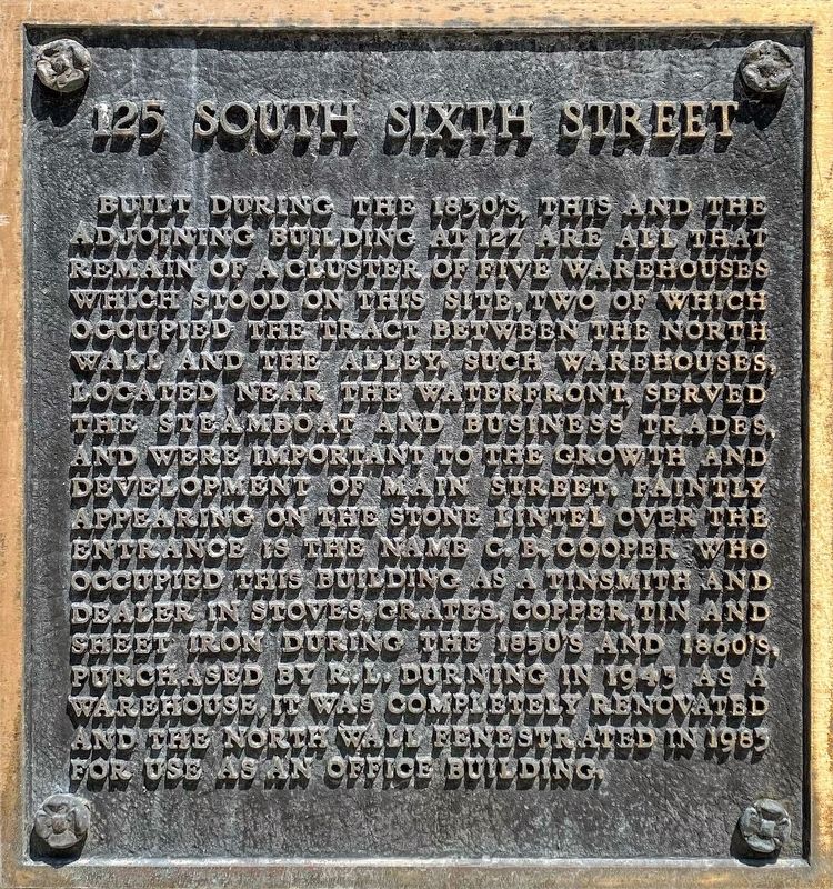
125 South Sixth Street
Built during the 1830’s, this and the adjoining building at 127 are all that remain of a cluster of five warehouses that stood on this site, two of which occupied the tract between the north wall and the alley. Such warehouses, located near the waterfront, served the steamboats and business trades, and were important to the growth and development of Main Street. Faintly appearing on the stone lintel over the entrance is the name C.B. Cooper who occupied this building as a tinsmith and dealer in stoves, grates, copper, tin, and sheet iron during the 1850's and 1860's. Purchased by R.L. Durning in 1943 as a warehouse, it was completely renovated and the north wall fenestrated in 1983 for use as an office building.
Topics. This historical marker is listed in this topic list: Industry & Commerce.
Location. 38° 15.365′ N, 85° 45.594′ W. Marker is in Louisville, Kentucky, in Jefferson County. It is in Downtown. Marker is on South 6th Street south of West Main Street, on the left when traveling south. The marker is located on the wall of an office complex facing South 6th Street. Touch for map. Marker is at or near this postal address: 125 S 6th Street, Louisville KY 40202, United States of America. Touch for directions.
Other nearby markers. At least 8 other markers are within walking distance of this marker. Evan Williams Bourbon Experience (about 300 feet away, measured in a direct line); J. Monks (about 300 feet away); Bridgeford, Ricketts & Company (about 400 feet away); Evan Williams (about 400 feet away); George Rogers Clark (about 600 feet away); City and County Named / Jefferson County Courthouse (about 600 feet away); Fort Nelson Park (about 700 feet away); Thomas Jefferson Memorial (about 700 feet away). Touch for a list and map of all markers in Louisville.
Credits. This page was last revised on February 12, 2023. It was originally submitted on July 31, 2021, by Shane Oliver of Richmond, Virginia. This page has been viewed 133 times since then and 14 times this year. Photo 1. submitted on July 31, 2021, by Shane Oliver of Richmond, Virginia. • J. Makali Bruton was the editor who published this page.
Editor’s want-list for this marker. A wide-view photo of the marker and the surrounding area, including the featured building, in context. • Can you help?
