Orinda in Contra Costa County, California — The American West (Pacific Coastal)
Tres Ranchos Historical Site
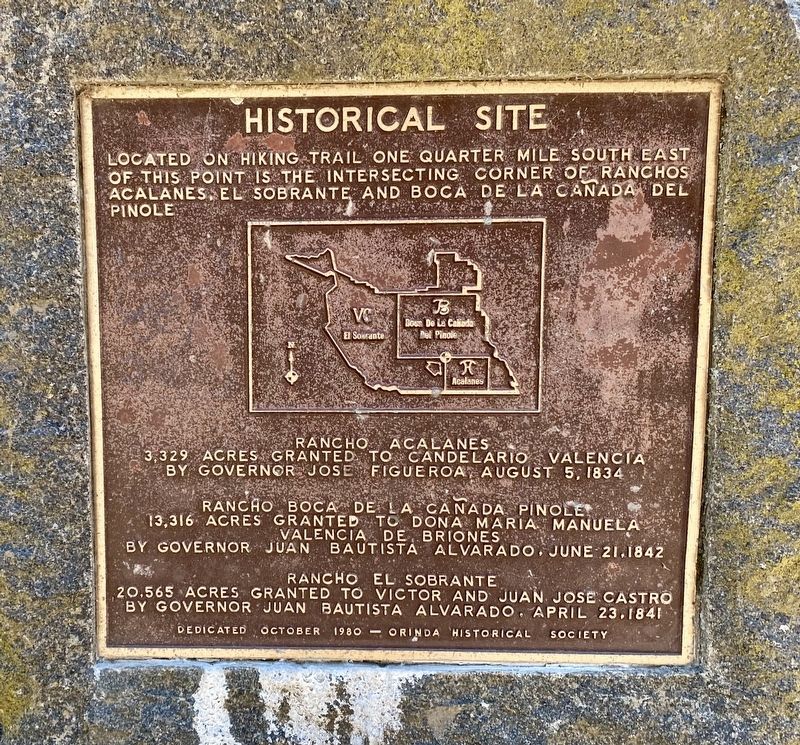
Located on hiking trail one quarter mile south east of this point is the intersecting corner of Ranchos Acalanes, El Sobrante and Boca de la Canada del Pinole.
Rancho Acalanes
3,329 acres granted to Candelario Valencia by Governor Jose Figueroa, August 5, 1834
Rancho Boca de la Cañada Pinole
13,316 acres granted to Dona Maria Manuela Valencia de Briones by Governor Juan Bautista Alvarado, June 21, 1842
Rancho El Sobrante
20,565 acres granted to Victor and Juan Jose Castro by Governor Juan Bautista Alvarado, April 23, 1841
Erected 1980 by Orinda Historical Society.
Topics. This historical marker is listed in this topic list: Settlements & Settlers. A significant historical date for this entry is April 23, 1841.
Location. 37° 54.633′ N, 122° 10.214′ W. Marker is in Orinda, California, in Contra Costa County. Marker is at the intersection of Dalewood Drive and Sundown Terrace, on the left when traveling west on Dalewood Drive. Touch for map. Marker is in this post office area: Orinda CA 94563, United States of America. Touch for directions.
Other nearby markers. At least 8 other markers are within 3 miles of this marker, measured as the crow flies. Paul Hamilton House (approx. 1.1 miles away); First Settlement of Lafayette (approx. 1.1 miles away); Miner Ranch (approx. 1.1 miles away); Santa Maria Church Bell (approx. 2 miles away); Did You Know that Orinda Once Had a Railroad? (approx. 2.1 miles away); San Pablo Creek Bridge (approx. 2.1 miles away); Orinda General Store Site (approx. 2.1 miles away); 1923 The Fire House (approx. 2.1 miles away). Touch for a list and map of all markers in Orinda.
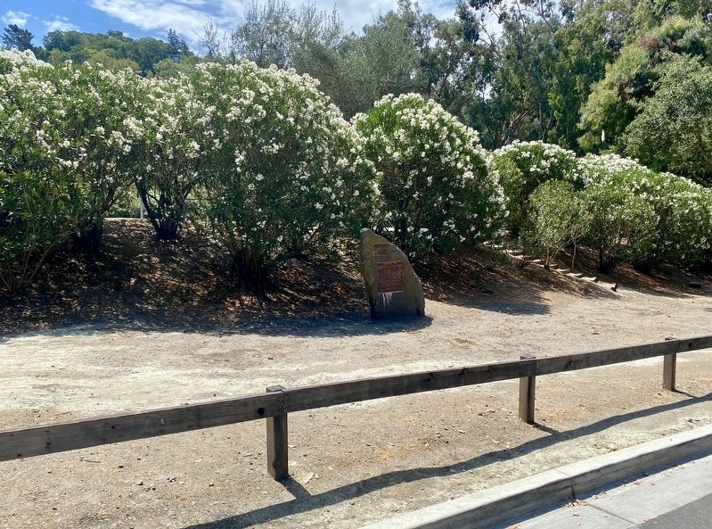
More about this marker. The marker is mounted to a stone monument located on the northwest side of the exterior of Dalewood Park. Unfortunately, it is unclear as to what hiking trail the marker refers to, so if one were fairly determined to find the intersection point mentioned on the marker, it might be better to calculate the distance on a map and proceed directly to the described location, rather than try to find the indicated trail.
Related marker. Click here for another marker that is related to this marker. - a similar marker for a similar (but different) boundary intersection
Also see . . .
1. Rancho Boca de la Cañada del Pinole (Wikipedia).
Rancho Boca de la Cañada del Pinole was a 13,316-acre (53.89 km2) Mexican land grant in present-day Contra Costa County, California given in 1842 by Governor Juan Alvarado to María Manuela Valencia. The name means "Mouth of the Pinole Valley" in Spanish. The rancho located between present-day Martinez, Pleasant Hill, Orinda, and Lafayette.(Submitted on July 31, 2021.)
2. Rancho El Sobrante (Wikipedia).
Rancho El Sobrante was a 20,565-acre (83.22 km2) Mexican land grant in present-day Contra Costa County, California given in 1841 by Governor Juan Alvarado to Juan Jose Castro and Victor Castro. The name means "left over " in Spanish—the grant's boundaries were determined by the boundaries of the surrounding grants: San Antonio, San Pablo, El Pinole, La Boca de la Cañada del Pinole, Acalanes, and La Laguna de los Palos Colorados. This grant included the area between present day El Sobrante and Orinda.(Submitted on July 31, 2021.)
3. Rancho Acalanes (Wikipedia).
Rancho Acalanes was a 3,329-acre (13.47 km2) Mexican land grant in present-day Contra Costa County, California.(Submitted on July 31, 2021.)
It was given in 1834 by Governor José Figueroa to Candelario Valencia. The name Acalanes seems to have come from Ahala-n, the name of a Costanoan native village in the area.
The rancho included present-day Lafayette and northern Orinda.
Credits. This page was last revised on July 31, 2021. It was originally submitted on July 31, 2021, by Andrew Ruppenstein of Lamorinda, California. This page has been viewed 193 times since then and 22 times this year. Photos: 1, 2, 3. submitted on July 31, 2021, by Andrew Ruppenstein of Lamorinda, California.


