South Nashville in Davidson County, Tennessee — The American South (East South Central)
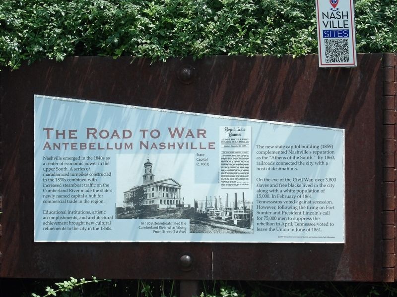
The Road to War
Antebellum Nashville
Educational institutions, artistic accomplishments, and architectural achievement brought new cultural refinements to the city in the 1850s.
The new state capitol building (1859) complemented Nashville's reputation as the "Athens of the South." By 1860, railroads connected the city with a host of destinations.
On the eve of the Civil War, over 3,800 slaves and free blacks lived in the city along with a white population of 15,000. In February of 1861 Tennesseans voted against secession. However, following the firing on Fort Sumter and President Lincoln's call for 75,000 men to suppress the rebellion in April, Tennessee voted to leave the Union in June of 1861.
Captions:
(Left) State Capitol (c. 1863) Tennessee State Library and Archives
(Right) In 1859 steamboats filled the Cumberland River wharf along Front Street (1st Ave). Tennessee State Library and Archives
Erected 2004 by Metropolitan Government of Nashville and Davidson County Parks & Recreation.
Topics. This historical marker is listed in this topic list: War, US Civil. A significant historical month for this entry is June 1861.
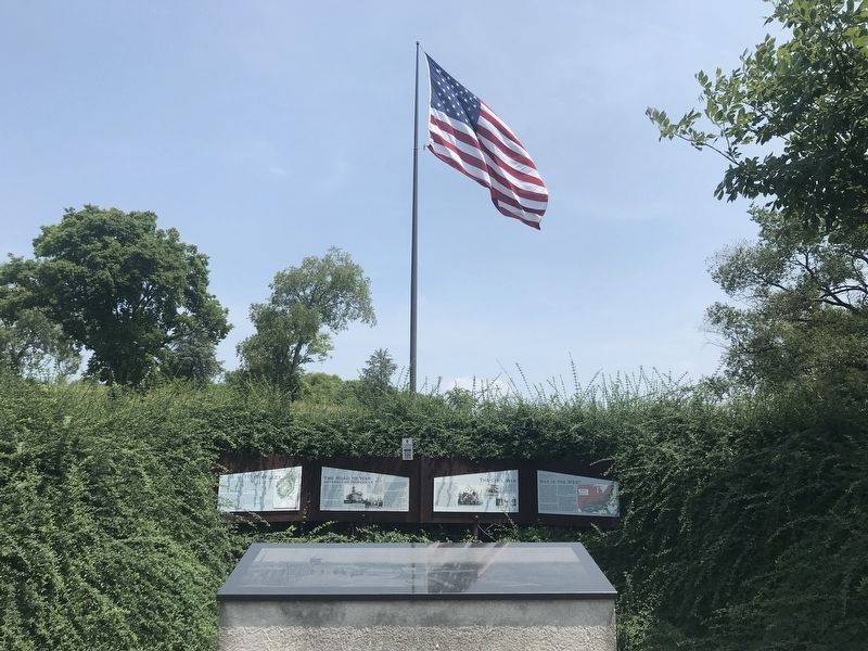
Location. 36° 8.604′ N, 86° 46.524′ W. Marker is in Nashville, Tennessee, in Davidson County. It is in South Nashville. Marker can be reached from Fort Negley Boulevard north of Chestnut Street, on the right when traveling north. Marker is on a wall behind the entrance arch to Fort Negley. Touch for map. Marker is at or near this postal address: 1100 Fort Negley Boulevard, Nashville TN 37203, United States of America. Touch for directions.
Other nearby markers. At least 8 other markers are within walking distance of this marker. Fort Negley (here, next to this marker); The Civil War (here, next to this marker); War in the West (here, next to this marker); War in the West: Battles and Campaigns (within shouting distance of this marker); Fort Negley Site (within shouting distance of this marker); a different marker also named Fort Negley (within shouting distance of this marker); Nashville Surrendered (about 300 feet away, measured in a direct line); Peach Orchard Hill (about 600 feet away). Touch for a list and map of all markers in Nashville.
Credits. This page was last revised on February 7, 2023. It was originally submitted on July 31, 2021, by Duane and Tracy Marsteller of Murfreesboro, Tennessee. This page has been viewed 84 times since then and 9 times this year. Photos: 1, 2. submitted on July 31, 2021, by Duane and Tracy Marsteller of Murfreesboro, Tennessee.

