Silverton in San Juan County, Colorado — The American Mountains (Southwest)
Silverton's Railroads
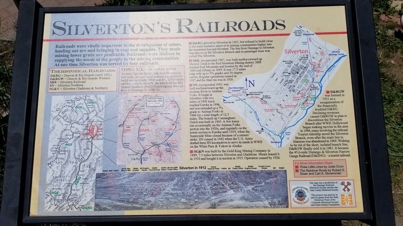
Railroads were vitally important to the development of mines, hauling out ore and bringing in coal and supplies. They made mining lower grade ore profitable. Railroads were lifelines in supplying the needs of the people in the mining communities. At one time Silverton was served by four railroads.
The Historical Railroads:
D&RG = Denver & Rio Grande (until 1921)
D&RGW = Denver & Rio Grande Western
SRR = Silverton Railroad
SN = Silverton Northern
SG&N = Silverton Gladstone & Northerly
Otto Mears (1840-1931)
Already famous for his San Juan Mountains toll roads, he used road and mining profits to build two railroads, SRR and SN, in Silverton and buy a third, SG&N. He also built the Rio Grande Southern (RGS) from Ridgway through Rico to Durango in 1890-91.
D&RG arrived in Silverton in 1882, but refused to build close to the main business street or to mining communities higher into the mountains beyond Silverton. The line from Durango to Silverton was known as the Silverton Branch and its passenger train was called The Silverton.
SRR, incorporated 1887, was built northwestward up Mineral Creek to the Red Mountain Mining district. SRR reached Red Mountain and Ironton by the end of 1888 and Albany in 1889. It was 17.5 miles long with up to 5% grades and 30-degree curves. Regular operations ceased in 1921 and the final run was in 1926.
SN, incorporated 1895, was built northeastward up the Animas River to Animas Forks. It began at Silverton with two miles of SRR track, reached Eureka in 1896, and was extended up a 7% grade to Animas Forks in 1904 for a total length of 12.5 miles. The branch up Cunningham Gulch was built in 1905. A few trains ran occasionally on the Animas Forks section into the 1920s, and regularly on the lower section to Eureka until 1939, when the Sunnyside Mine closed because of a miners' strike. SN ceased in 1942 when the U.S. Army drafted three SN locomotives to serve its needs in WWII on the White Pass & Yukon in Alaska.
SG&N was built by the Gold King Mining Company in 1899, 7.5 miles between Silverton and Gladstone. Mears leased it in 1910 and bought it at auction in 1915. Operation ceased by 1926.
D&RGW was formed in 1921 as a reorganization of the financially troubled D&RG. Declining revenues caused D&RGW to plan to discontinue the Silverton Branch after WWII. Hollywood began making movies in the area 1946, many involving the railroad. Tourist ridership saved the Silverton Branch, even after the main line to Alamosa was abandoned in 1969. Wishing to be rid of the short, isolated branch line, D&RGW
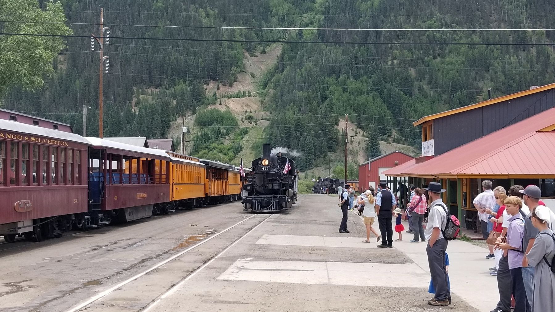
finally sold it in 1981. It became the 45.6-mile Durango & Silverton Narrow Gauge Railroad (D&SNG) - a tourist railroad.
Erected by Durango Railroad Historical Society and San Juan County Historical Society.
Topics. This historical marker is listed in this topic list: Railroads & Streetcars. A significant historical year for this entry is 1882.
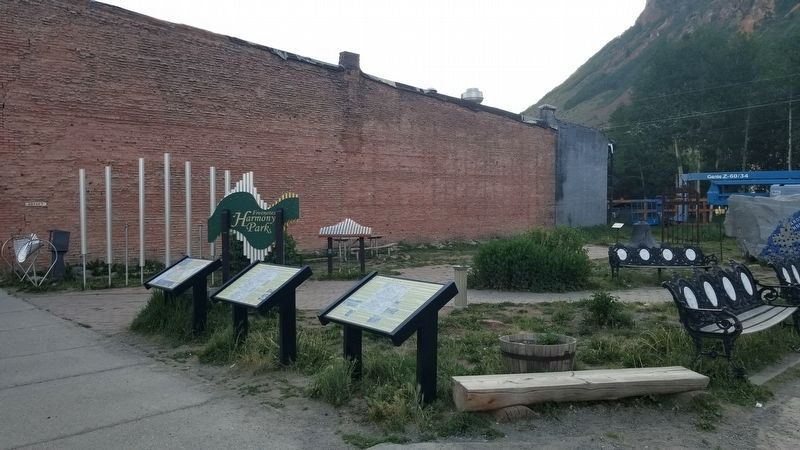
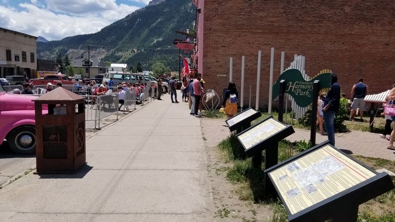
Location. 37° 48.695′ N, 107° 39.88′ W. Marker is in Silverton, Colorado, in San Juan County. Marker is at the intersection of Greene Street (County Highway 110) and East 12th Street, on the left when traveling north on Greene Street. The marker is located in front of the Silverton City Park. Touch for map. Marker is at or near this postal address: 1157 Greene Street, Silverton CO 81433, United States of America. Touch for directions.
Other nearby markers. At least 8 other markers are within walking distance of this marker. Trails to Rails (here, next to this marker); a different marker also named Trails to Rails (here, next to this marker); 1157 Greene (a few steps from this marker); Liberty Bell? (a few steps from this marker); 1200 Greene (within shouting distance of this marker); 1219 Greene (within shouting distance of this marker); 1129 Greene (within shouting distance of this marker); Silverton Standard (within shouting distance of this marker). Touch for a list and map of all markers in Silverton.
More about this marker. The marker is a duplicate of a marker by the the same name and text at the Silverton Visitor's Center about one mile away.
Credits. This page was last revised on August 1, 2021. It was originally submitted on August 1, 2021, by James Hulse of Medina, Texas. This page has been viewed 105 times since then and 10 times this year. Photos: 1, 2, 3, 4. submitted on August 1, 2021, by James Hulse of Medina, Texas.


