South Nashville in Davidson County, Tennessee — The American South (East South Central)
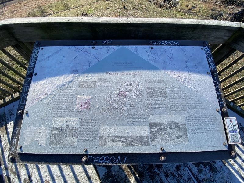
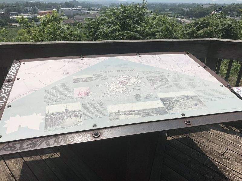
Fort Design
"Fort Negley seems to be in good condition. The magazines are in good order, and the ammunition is well looked to." — Union Brigadier General Zebulan B. TowerFort Negley was a complex fort constructed as a multi-tiered defensive fortification. Built to protect the southeastern approach to the city, the fort was intended to withstand lengthy sieges and massive assaults on all four fronts. Like other major fortifications built in the United States during the 19th century, Fort Negley's historical design can be traced to the seventeenth century genius of French military engineer Sebastien le Prestre de Vauban.
The first line of the fort's tiered defense was the outer works., consisting of eight V-shaped redans and a double bastion front. From these positions Union artillery and rifles provided a massive demonstration of direct and cross fire.
Where you are standing was the second line of defense, the inner main works. Elevated above the outer works, this defensive position was used for heavier artillery such as siege guns and howitzers. Bombproof casemates protected the ground along the eastern and southern slopes.
Located behind you in the center of the fort was the stockade, the last line of defense if the outer and main works were overrun. Each corner of the stockade had elevated rifle turrets, and salient angles projected from all four exterior sides to allow enfilade fire along the outer stockade walls.
The multi-tiered design made Fort Negley formidable. The fort was never seriously challenged throughout the entire war.
Captions:
(Left, top) North Main Works Behind you was a reinforced artillery position elevated to allow firing over the inner parapet wall. Wooden platforms supported heavy cannon to keep them from sinking into the ground.
(Left, middle) Sebastien le Prestre de Vauban
(Left, bottom) Rifle turrets The elevated turrets at each corner of the stockade included loopholes for rifle fire.
(Center, top) Redans Salient angled artillery positions. These V-shaped outerworks had earth piled on top of the stone foundation to blunt the concussion from incoming artillery and prevent the stone from shattering.
(Center, bottom) Stockade A wooden stockade twelve feet high stood in the center of the fort. The stockade was the last line of defense in case the fort's outer walls were breached and the main works overrun. Rifle turrets were positioned at all four corners and troops were supplied with water from two cisterns located inside the stockade. Trees within the stockade were used as signal stations and observation towers. The stockade was the first part of the fort to be built.
(Right, top) Bastion Bombproof bastions extended outward below the main works. Enclosed within the bastions were tunnels that permitted troops to move through the outer works protected from incoming fire. Loopholes (openings) allowed return rifle and artillery fire.
(Right, bottom) Casemate #1 An enclosed artillery position with embrasures (openings) for firing. Railroad irons and wooden timbers were used to reinforce the structure. The casemate contained a 30-pound Parrott rifle.
Erected 2004 by Metropolitan Government of Nashville and Davidson County Parks & Recreation.
Topics. This historical marker is listed in these topic lists: Forts and Castles • War, US Civil.
Location. 36° 8.692′ N, 86° 46.476′ W. Marker is in Nashville, Tennessee, in Davidson County. It is in South Nashville. Marker can be reached from Fort Negley Boulevard north of Chestnut Street, on the right when traveling north. Marker is located in the southeast corner of Fort Negley's stockade. Touch for map. Marker is at or near this postal address: 1100 Fort Negley Boulevard, Nashville TN 37203, United States of America. Touch for directions.
Other nearby markers. At least 8 other markers are within walking distance of this marker. Peach Orchard Hill (within shouting distance of this marker); The Battle of Nashville (within shouting distance of this marker); Fortress Nashville / Forts (within shouting distance of this marker); Union Major General Don Carlos Buell (within shouting distance of this marker); Sally Port (within shouting distance of this marker); A Birthplace of Freedom (about 300 feet away, measured in a direct line); Nashville Surrendered (about 300 feet away); Andrew Johnson (about 400 feet away). Touch for a list and map of all markers in Nashville.
Credits. This page was last revised on February 7, 2023. It was originally submitted on August 1, 2021, by Duane and Tracy Marsteller of Murfreesboro, Tennessee. This page has been viewed 120 times since then and 13 times this year. Photos: 1. submitted on January 22, 2022, by Darren Jefferson Clay of Duluth, Georgia. 2, 3. submitted on August 1, 2021, by Duane and Tracy Marsteller of Murfreesboro, Tennessee.


