
Jesse in Wyoming County, West Virginia — The American South (Appalachia)
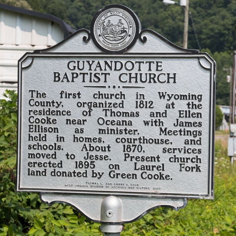
Guyandotte Baptist Church
Photographed by J. J. Prats, July 24, 2021
1. Guyandotte Baptist Church Marker
Erected 2007 by Thomas L. and Larry V. Cook, and the West Virginia Division of Archives and History.
Topics and series. This historical marker is listed in this topic list: Religion & Religious Structures. In addition, it is included in the West Virginia Archives and History series list. A significant historical year for this entry is 1812.
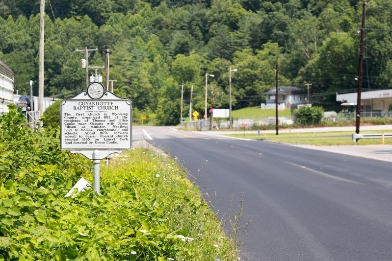
Location. 37° 40.056′ N, 81° 34.531′ W. Marker is in Jesse, West Virginia, in Wyoming County. It is on Appalachian Highway (West Virginia Route 10) 0.2 miles south of Poplar Gap Road (County Route 1), on the right when traveling south. Touch for map. Marker is at or near this postal address: 7776 Appalachian Hwy, Jesse WV 24849, United States of America. Touch for directions.

Regionally, this marker is in the Southern Coalfields. It is also in the American South, specifically in the Upper
this page online
Other nearby markers. At least 8 other markers are within 3 miles of this marker, measured as the crow flies: Richard M. Cook (approx. 1.4 miles away); William Walker (approx. 2.3 miles away); Civil War Romance (approx. 2.3 miles away); Oceana Veterans Memorial Wall (approx. 3 miles away); John Cooke (approx. 3 miles away); Capt. Ralph Stewart (approx. 3 miles away); American Disabled Veterans (approx. 3 miles away); After The Flag Is Folded (approx. 3 miles away).
Photographed by J. J. Prats, July 24, 2021
2. Guyandotte Baptist Church Marker
Photographed by J. J. Prats, July 24, 2021
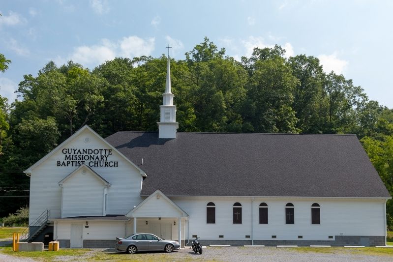
3. Guyandotte Missionary Baptist Church
Credits. This page was last revised on August 2, 2021. It was originally submitted on August 2, 2021, by J. J. Prats of Powell, Ohio. This page has been viewed 956 times since then and 70 times this year. Photos: 1, 2, 3. submitted on August 2, 2021, by J. J. Prats of Powell, Ohio.
