Crystal Springs in Copiah County, Mississippi — The American South (East South Central)
Crystal Springs
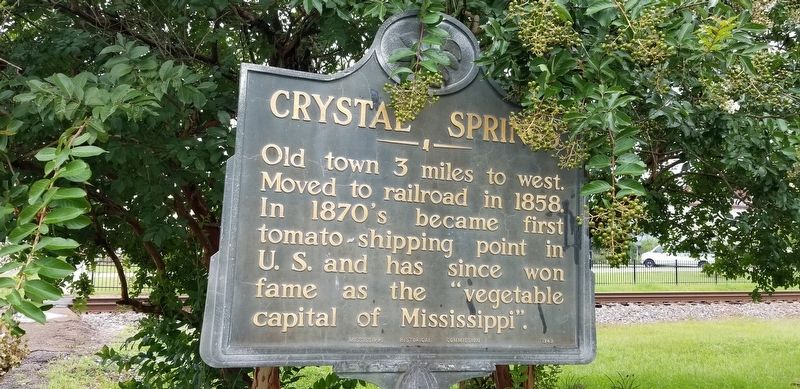
Photographed by Cajun Scrambler, August 2, 2021
1. Crystal Springs Marker
Erected 1949 by Mississippi Historical Commission.
Topics. This historical marker is listed in this topic list: Settlements & Settlers.
Location. 31° 59.267′ N, 90° 21.5′ W. Marker is in Crystal Springs, Mississippi, in Copiah County. It is on West Georgetown Road near West Railroad Street S, on the right when traveling north. Touch for map. Marker is in this post office area: Crystal Springs MS 39059, United States of America. Touch for directions.

Regionally, this marker is in Southwest Mississippi, in Natchez Trace Corridor, and in Greater Jackson. It is also in the American South and specifically in the Deep South. Globally, it is in North America, a Gulf of Mexico state, the Western Hemisphere, the Western World, and the Anglosphere. Historically, it finds itself in what was once the territory of the Mississippian Culture, one of the Confederate States of America, and
this page online
Other nearby markers. At least 8 other markers are within 9 miles of this marker, measured as the crow flies: Tommy Johnson (within shouting distance of this marker); Bus-Train Collision of 1942 (about 400 feet away, measured in a direct line); Chautauqua Buildings (approx. 0.8 miles away); P.T.A. Birthplace (approx. 0.9 miles away); Chautauqua Tabernacle (approx. 0.9 miles away); Spring House (approx. 0.9 miles away); Terry (approx. 8.4 miles away); Robert Johnson (approx. 9 miles away). Touch for a list and map of all markers in Crystal Springs.
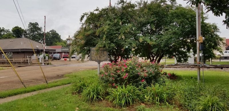
Photographed by Cajun Scrambler, August 2, 2021
2. Crystal Springs Marker
Credits. This page was last revised on August 3, 2021. It was originally submitted on August 3, 2021, by Cajun Scrambler of Assumption, Louisiana. This page has been viewed 823 times since then and 77 times this year. Photos: 1, 2. submitted on August 3, 2021, by Cajun Scrambler of Assumption, Louisiana.
