Rochester in Olmsted County, Minnesota — The American Midwest (Upper Plains)
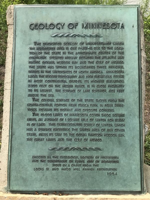
Geology of Minnesota
The general surface of the state slopes from the north-central portion near Itasca Park, in four directions toward its distant and opposite corners.
The 10,000 lakes of Minnesota cover 5,600 square miles, an average of 1 square mile of water for every 15 of land. This unprecedented supply of water, which has a surface exceeding the water area of any other state, finds its way to the ocean through the Hudson Bay, the Great Lakes and the Gulf of Mexico.
Erected 1954 by the Geological Society of Minnesota and the Department of Parks, City of Rochester aided by a grant from the Louis W. and Maud Hill Family Foundation.
Topics and series. This historical marker is listed in this topic list: Natural Features . In addition, it is included in the Minnesota: Geological Society of Minnesota series list.
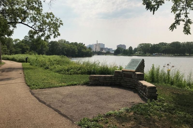
Location. 44° 1.987′ N, 92° 27.295′ W. Marker is in Rochester, Minnesota, in Olmsted County. Marker is on East Silver Lake Drive, 1.8 miles north of 12th Street Southeast (U.S. 14), on the right when traveling south. Located in Silver Lake East. Touch for map. Marker is at or near this postal address: 705 East Silver Lake Drive, Rochester MN 55906, United States of America. Touch for directions.
Other nearby markers. At least 8 other markers are within walking distance of this marker. History of Silver Lake (about 400 feet away, measured in a direct line); Flooding in Rochester (approx. 0.2 miles away); Last Alarm (approx. 0.2 miles away); The Avalon Building (approx. 0.6 miles away); The Rochester Armory Building (approx. 0.7 miles away); The Heritage House (approx. 0.7 miles away); Central Park Plaza (approx. 0.7 miles away); Birth of the Minnesota Education Association (approx. 0.8 miles away). Touch for a list and map of all markers in Rochester.
Credits. This page was last revised on August 4, 2021. It was originally submitted on August 3, 2021. This page has been viewed 186 times since then and 23 times this year. Photos: 1, 2. submitted on August 3, 2021. • Mark Hilton was the editor who published this page.

