Near Merriman in Cherry County, Nebraska — The American Midwest (Upper Plains)
Survey Valley
Cherry County, Nebraska
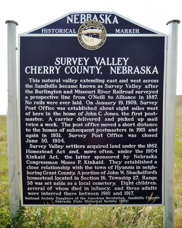
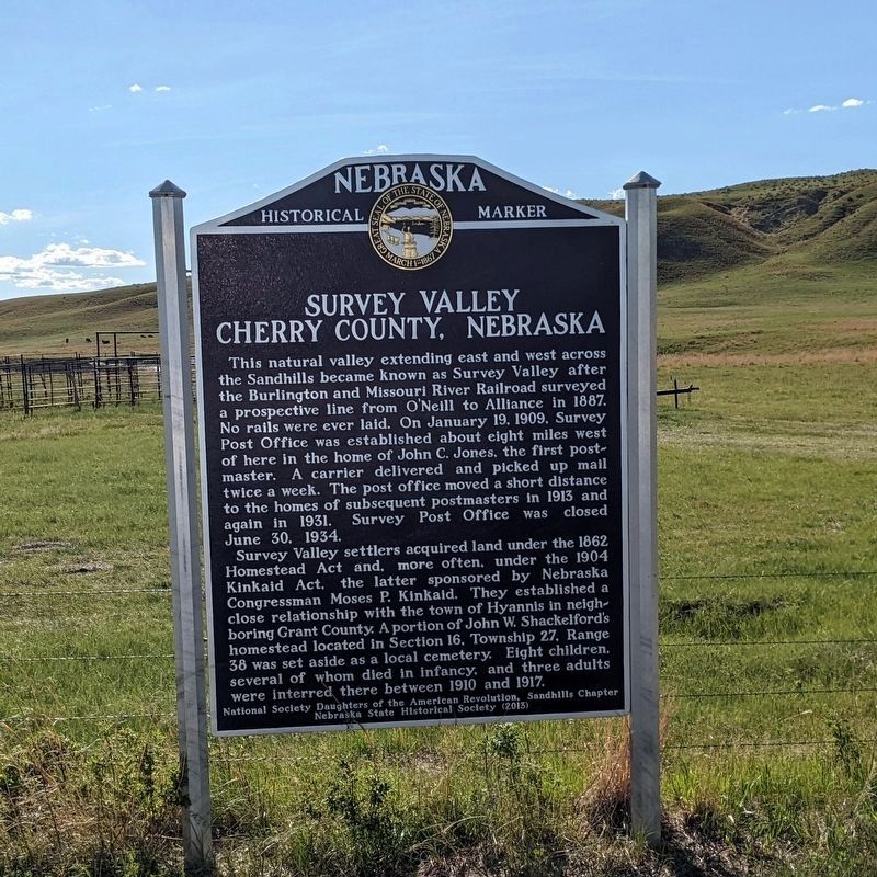
This natural valley extending east and west across the Sandhills became known as Survey Valley after the Burlington and Missouri River Railroad surveyed a prospective line from O’Neill to Alliance in 1887. No rails were ever laid. On January 19, 1909, Survey Post Office was established about eight miles west of here in the home of John C. Jones, the first postmaster. A carrier delivered and picked up mail twice a week. The post office moved a short distance to the homes of subsequent postmasters in 1913 and again in 1931. Survey Post Office was closed June 30, 1934.
Survey Valley settlers acquired land under the 1862 Homestead Act and, more often, under the 1904 Kinkaid Act, the latter sponsored by Nebraska Congressman Moses P. Kinkaid. They established a close relationship with the town of Hyannis in neighboring Grant County. A portion of John W. Shackelford’s homestead located in Section 16, Township 27, Range 38 was set aside as a local cemetery. Eight children, several of whom died in infancy, and three adults were interred there between 1910 and 1917.
Erected 2013 by National Society Daughters of the American Revolution, Sandhills Chapter; and Nebraska State Historical Society. (Marker Number 493.)
Topics and series. This historical marker is listed in these topic lists: Cemeteries & Burial Sites • Railroads & Streetcars • Settlements & Settlers. In addition, it is included in the Daughters of the American Revolution, and the Nebraska State Historical Society series lists. A significant historical date for this entry is January 19, 1909.
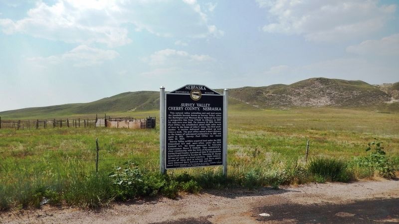
Location. 42° 20.834′ N, 101° 43.424′ W. Marker is near Merriman, Nebraska, in Cherry County. Marker is on State Highway 61, 0.2 miles north of Survey Valley Road, on the left when traveling north. Marker is located in a pull-out on the west side of the highway. Touch for map. Marker is in this post office area: Merriman NE 69218, United States of America. Touch for directions.
Also see . . .
1. Survey Valley, Nebraska. Nebraska/South Dakota Surveying website entry:
Shown on many early Nebraska maps is what appears to be a town by the name of "Survey" in southwestern Cherry County. The location was actually a series of individual ranch houses alternately designated as a post office where people living in this rural area could pick up or deliver their mail. The Survey Post Office was first established at the John C. Jones Ranch on January 19, 1909. After leaving the Jones ranch house it then went to the ranches of Frederick G. King, Allen N. Barker, and to two different houses of Clarence V. Grouns. Early settlers remember the postmaster by the name of "Greasy Grouns" due to his infrequent bathing. (Submitted on August 4, 2021, by Cosmos Mariner of Cape Canaveral, Florida.)
2. Kinkaid Act. Wikipedia entry:
The Kinkaid Act of 1904 is a U.S. statute that amended the 1862 Homestead Act so that one section (640 acres) of public domain land could be acquired free of charge, apart from a modest filing fee. It applied specifically to 37 counties in northwest Nebraska, in the general area of the Nebraska Sandhills. Only non-irrigable lands were eligible to be claimed under the provisions of the Kinkaid Act; those that were deemed to be practicably irrigable by the Secretary of the Interior were excluded. (Submitted on August 4, 2021, by Cosmos Mariner of Cape Canaveral, Florida.)
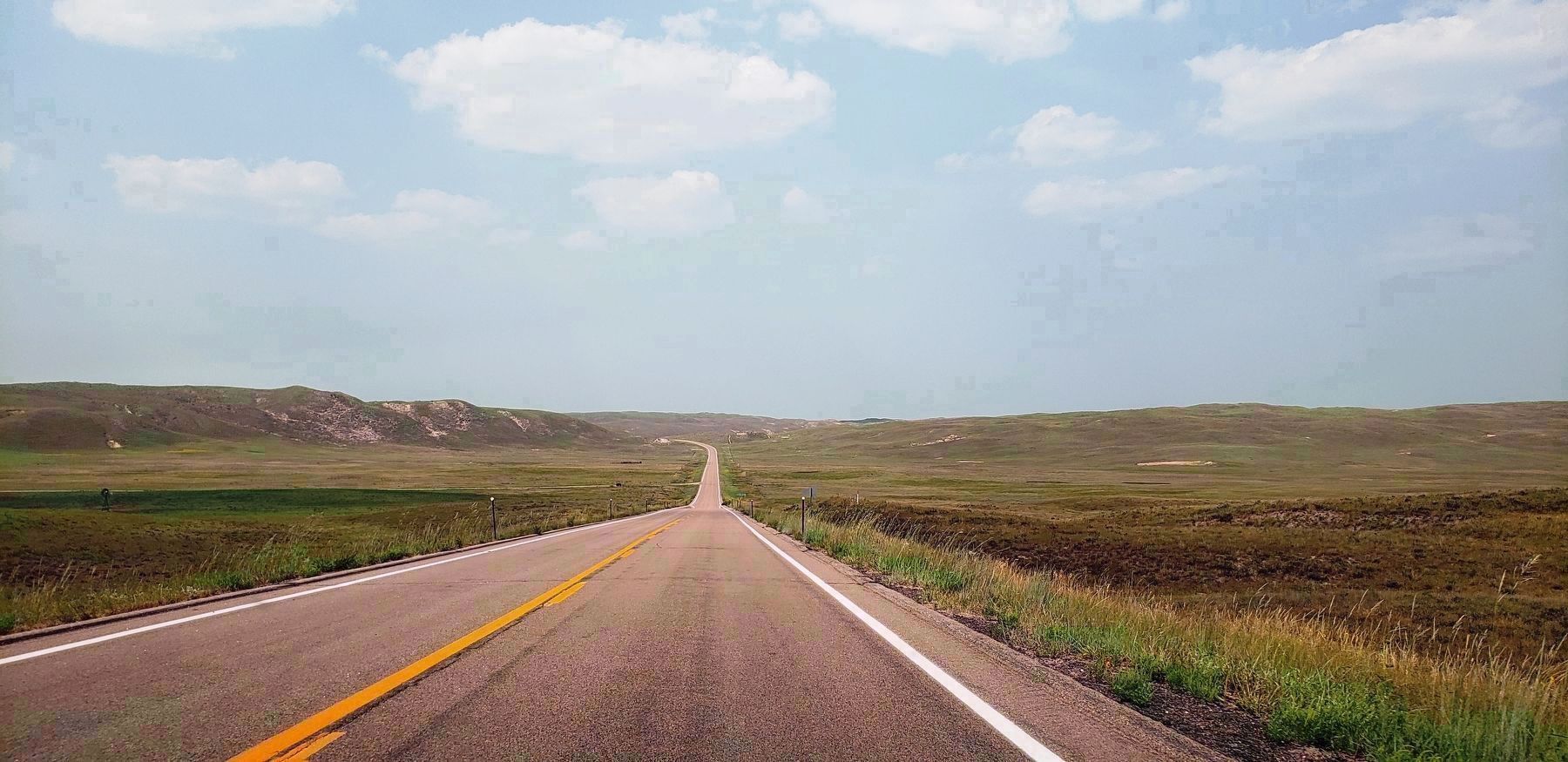
Photographed By Cosmos Mariner, August 2, 2021
5. Survey Valley
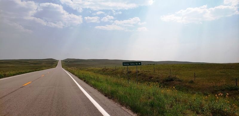
Survey Valley Road (westbound) is visible in distant left background. Marker is beyond Survey Valley Road, on the west side of Nebraska Highway 61, but too small to see in this photo.
Credits. This page was last revised on November 23, 2022. It was originally submitted on August 4, 2021, by Cosmos Mariner of Cape Canaveral, Florida. This page has been viewed 318 times since then and 48 times this year. Photos: 1. submitted on August 4, 2021, by Cosmos Mariner of Cape Canaveral, Florida. 2. submitted on August 14, 2022, by Bruce InCharlotte of Charlotte, North Carolina. 3, 4, 5. submitted on August 4, 2021, by Cosmos Mariner of Cape Canaveral, Florida.
