Fort Jefferson in Darke County, Ohio — The American Midwest (Great Lakes)
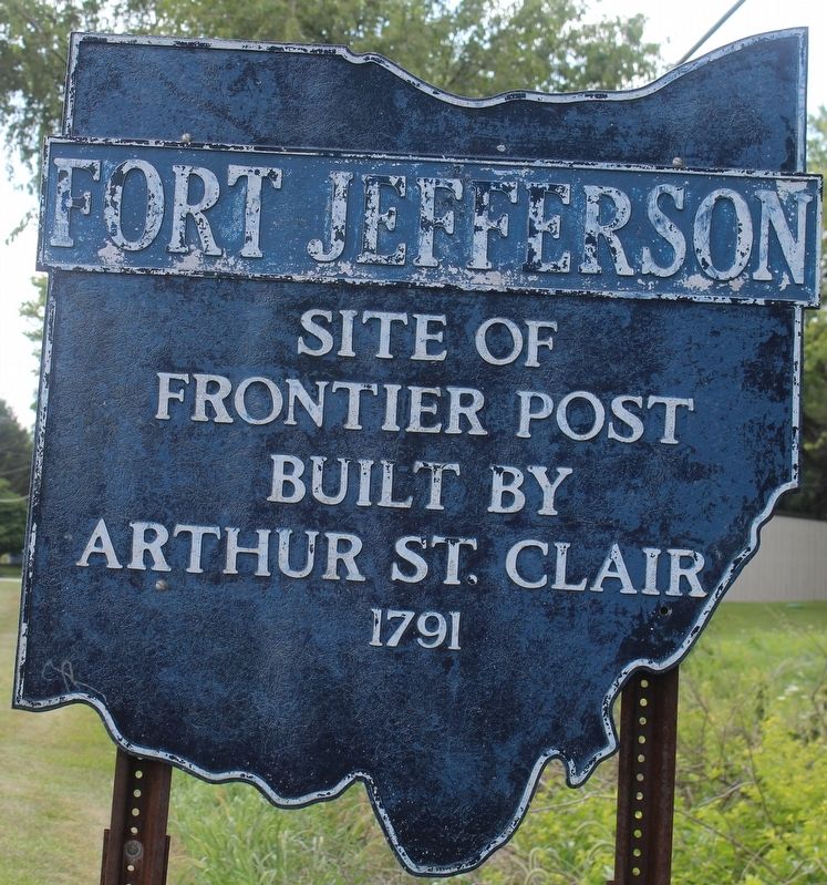
Fort Jefferson
Erected by Ohio Historical Markers Committee.
Topics and series. This historical marker is listed in these topic lists: Forts and Castles • Settlements & Settlers. In addition, it is included in the Ohio Historical Society / The Ohio History Connection series list. A significant historical year for this entry is 1791.
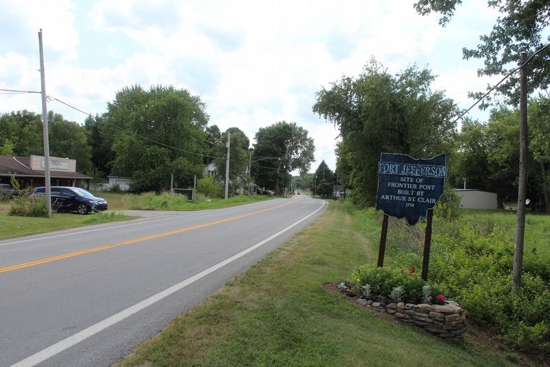
Location. 40° 1.731′ N, 84° 39.319′ W. Marker is in Fort Jefferson, Ohio, in Darke County. Marker is on Ohio Route 121, 0.2 miles north of Weavers-Fort Jefferson Road, on the right when traveling south. Touch for map. Marker is at or near this postal address: 3924 Route 121, Greenville OH 45331, United States of America. Touch for directions.
Other nearby markers. At least 8 other markers are within walking distance of this marker. A different marker also named Fort Jefferson (approx. 0.2 miles away); Fort Jefferson / St. Clair’s Defeat (approx. 0.2 miles away); Fort Jefferson: A Link in a Chain (approx. 0.2 miles away); Underground Passage (approx. 0.2 miles away); Trench (approx. 0.2 miles away); Ash Pit (approx. ¼ mile away); a different marker also named Fort Jefferson (approx. ¼ mile away); Well or Magazine Pit (approx. ¼ mile away). Touch for a list and map of all markers in Fort Jefferson.
Also see . . . Fort Jefferson | St. Clair Expedition | Darke County | Ohio .
The site selected by St. Clair was a small knoll that had a good spring. It was also in the midst of a wide prairie......(Submitted on August 4, 2021, by Robert Baughman of Bellefontaine, Ohio.)
Credits. This page was last revised on August 9, 2021. It was originally submitted on August 4, 2021, by Robert Baughman of Bellefontaine, Ohio. This page has been viewed 111 times since then and 7 times this year. Photos: 1, 2. submitted on August 4, 2021, by Robert Baughman of Bellefontaine, Ohio. • Devry Becker Jones was the editor who published this page.

