Alliance in Box Butte County, Nebraska — The American Midwest (Upper Plains)
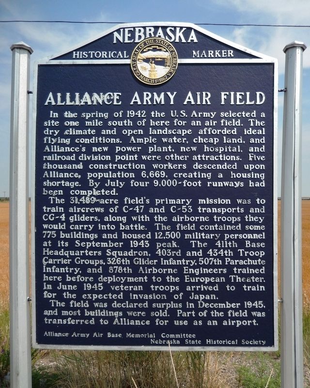
Alliance Army Air Field
The 31,489-acre field’s primary mission was to train aircrews of C-47 and C-53 transports and CG-4 gliders, along with the airborne troops they would carry into battle. The field contained some 775 buildings and housed 12,500 military personnel at its September 1943 peak. The 411th Base Headquarters Squadron, 403rd and 434th Troop Carrier Groups, 326th Glider Infantry, 507th Parachute Infantry, and 878th Airborne Engineers trained here before deployment to the European Theater. In June 1945 veteran troops arrived to train for the expected invasion of Japan.
The field was declared surplus in December 1945, and most buildings were sold. Part of the field was transferred to Alliance for use as an airport.
Erected by Alliance Army Air Base Memorial Committee; and Nebraska State Historical Society. (Marker Number 416.)
Topics and series. This historical marker is listed in these topic lists: Air & Space • Industry & Commerce • War, World II. In addition, it is included in the Nebraska State Historical Society series list. A significant historical year for this entry is 1942.
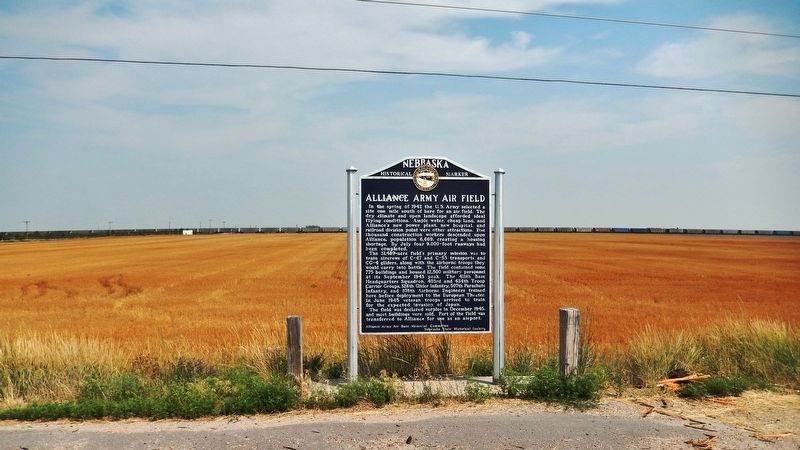
Location. 42° 5.467′ N, 102° 49.08′ W. Marker is in Alliance, Nebraska, in Box Butte County. Marker is on Perkins Road (State Highway 2) just east of County Road 57, on the left when traveling east. Marker is located in a pull-out on the north side of the highway. Touch for map. Marker is in this post office area: Alliance NE 69301, United States of America. Touch for directions.
Other nearby markers. At least 1 other marker is within 3 miles of this marker, measured as the crow flies. Burlington Locomotive 719 (approx. 3.1 miles away).
Also see . . .
1. Alliance Air Base dedication, 1943. Universal Newsreel showing the dedication of the new Army Air Base in Alliance, Nebraska, in August 1943, featuring a paratrooper show. ~ Source: Nebraska State Historical Society ~ Date: 1943 (Submitted on August 5, 2021, by Cosmos Mariner of Cape Canaveral, Florida.)
2. Alliance Army Airfield Base. The airfield
was home to as many as 14,000 paratroops in the area, using C-47 Skytrains as powered troop carriers, and CG-3/CG-4 Waco glider troop carriers for their training aircraft. The sandhills were thought to provide a softer landing than wooded areas for jumping paratroops. After the paratroops left Alliance, Second Air Force temporarily used the Alliance airfield in the fall of 1944 for the training of B-29 Superfortress crews. Training included teaching the B-29 air crews how to drop bombs and read navigational, aeronautical and bombsight equipment. (Submitted on August 5, 2021, by Cosmos Mariner of Cape Canaveral, Florida.)
Credits. This page was last revised on August 5, 2021. It was originally submitted on August 5, 2021, by Cosmos Mariner of Cape Canaveral, Florida. This page has been viewed 556 times since then and 79 times this year. Photos: 1, 2. submitted on August 5, 2021, by Cosmos Mariner of Cape Canaveral, Florida.

