Antioch in Sheridan County, Nebraska — The American Midwest (Upper Plains)
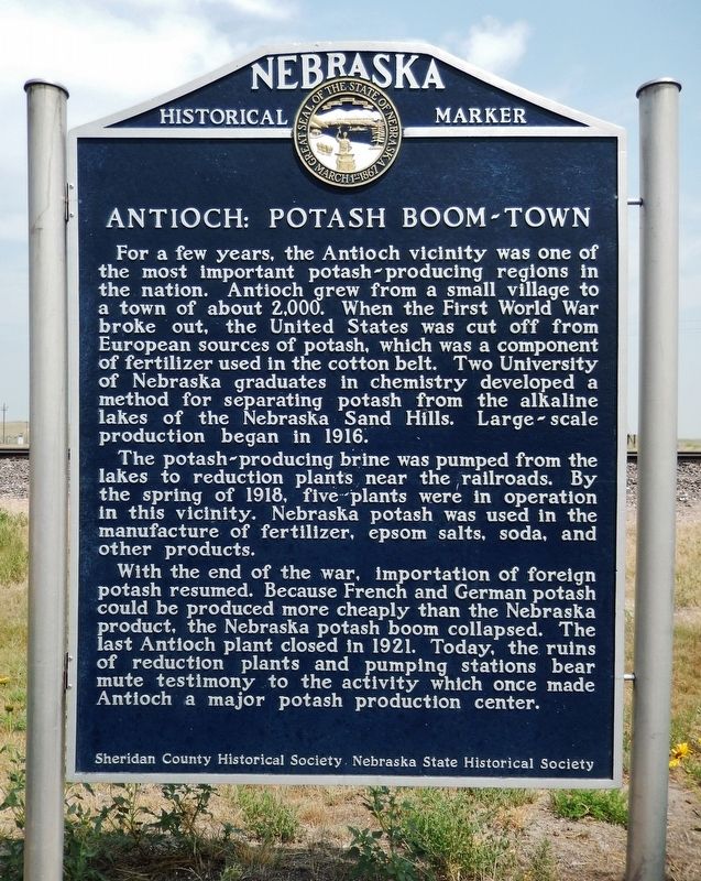
Antioch: Potash Boom-Town
The potash-producing brine was pumped from the lakes to reduction plants near the railroads. By the spring of 1918, five plants were in operation in this vicinity. Nebraska potash was used in the manufacture of fertilizer, epsom salts, soda, and other products.
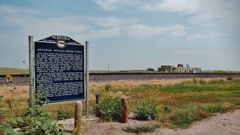
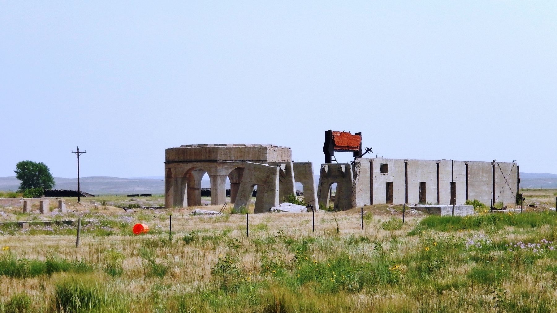
With the end of the war, importation of foreign potash resumed. Because French and German potash could be produced more cheaply than the Nebraska product, the Nebraska potash boom collapsed. The last Antioch plant closed in 1921. Today, the ruins of reduction plants and pumping stations bear mute testimony to the activity which once made Antioch a major potash production center.
Erected by Sheridan County Historical Society; and Nebraska State Historical Society. (Marker Number 213.)
Topics and series. This historical marker is listed in these topic lists: Agriculture • Industry & Commerce • War, World I. In addition, it is included in the Nebraska State Historical Society series list. A significant historical year for this entry is 1916.
Location. 42° 4.149′ N, 102° 35.667′ W. Marker is in Antioch, Nebraska, in Sheridan County. Marker is on 1st Street (State Highway 2) 0.3 miles west of 396 Trail, on the right when traveling west. Marker is located in a pull-out on the north side of the highway. Touch for map. Marker is in this post office area: Ellsworth NE 69340, United States of America. Touch for directions.
Regarding Antioch: Potash Boom-Town. National Register of Historic Places #79001455.
Also see . . .
1. Antioch, Nebraska. When Germany and France resumed trade with the United States in 1921, the potash trade was decimated. The factories immediately closed. The machinery was sold for scrap; the factories were demolished for the salvage value of the building materials; and the company housing was torn down or moved. Only the foundations of the factories and of some of the larger houses remained. Today, Antioch has fewer than 25 residents. (Submitted on August 5, 2021, by Cosmos Mariner of Cape Canaveral, Florida.)
2. This Creepy Ghost Town In Nebraska Is A Phantom of The Past. (This link features various photos of Antioch's potash plant ruins.) Antioch was once "the potash capital of Nebraska." The substance was plentiful in the Sandhills thanks to the many alkali lakes in the area. The end of WWI brought about the end of Antioch's potash production. Today, only foundations and ruins remain to remind us of the very important role this town once played. (Submitted on August 5, 2021, by Cosmos Mariner of Cape Canaveral, Florida.)
Credits. This page was last revised on August 5, 2021. It was originally submitted on August 5, 2021, by Cosmos Mariner of Cape Canaveral, Florida. This page has been viewed 203 times since then and 54 times this year. Photos: 1, 2, 3. submitted on August 5, 2021, by Cosmos Mariner of Cape Canaveral, Florida.


