Chesterfield in St. Louis County, Missouri — The American Midwest (Upper Plains)
Conway House
Bates - Conway House
| — | circa 1859 | — |
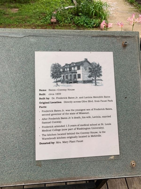
Photographed by Thomas Smith, July 31, 2021
1. Conway House Marker
Topics. This historical marker is listed in this topic list: Notable Buildings.
Location. 38° 39.983′ N, 90° 32.437′ W. Marker is in Chesterfield, Missouri, in St. Louis County. It is on Gerhardt Trail Park Rd 0.3 miles Winnie Ln, on the right when traveling west. Located in Faust Historic Village. Touch for map. Marker is at or near this postal address: 1044 Gerhardt Trail, Chesterfield MO 63017, United States of America. Touch for directions.

Regionally, this marker is in Greater St. Louis. It is also in the American
this page online
Other nearby markers. At least 8 other markers are within walking distance of this marker: Mertz Log Home (a few steps from this marker); Davis House (within shouting distance of this marker); Hoch House (within shouting distance of this marker); Sellenriek Barn (within shouting distance of this marker); Alt School House (about 300 feet away, measured in a direct line); Miles A. Seed Carriage House (about 400 feet away); Thornhill (approx. ¼ mile away); Smoke House (approx. 0.3 miles away). Touch for a list and map of all markers in Chesterfield.
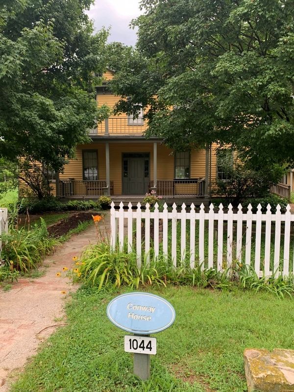
Photographed by Thomas Smith, July 31, 2021
2. Conway House Marker
Credits. This page was last revised on August 10, 2021. It was originally submitted on August 5, 2021, by Thomas Smith of Waterloo, Ill. This page has been viewed 1,130 times since then and 91 times this year. Photos: 1, 2. submitted on August 5, 2021, by Thomas Smith of Waterloo, Ill. • Bill Pfingsten was the editor who published this page.
