Hacker Valley in Webster County, West Virginia — The American South (Appalachia)
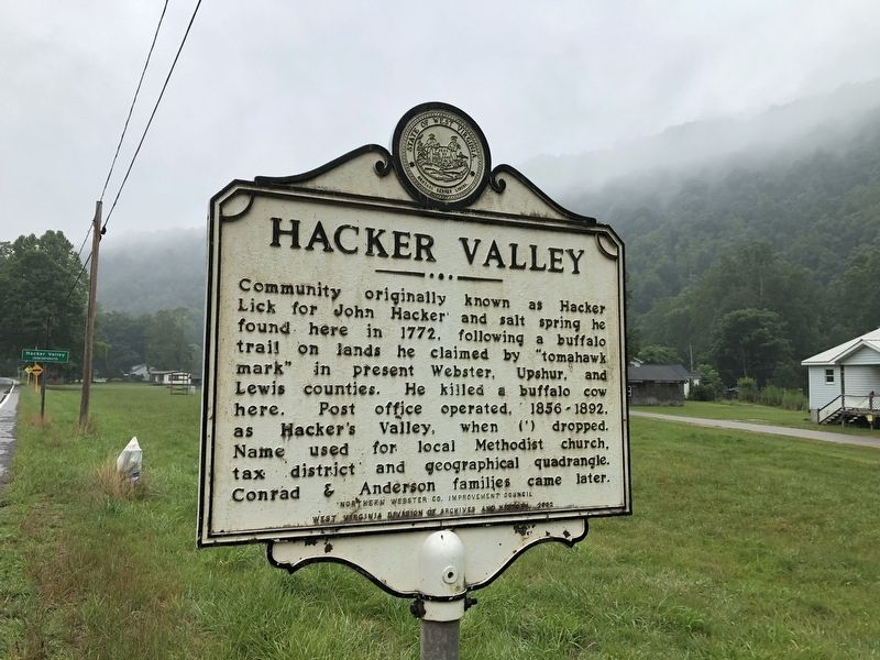
Hacker Valley
Erected 2002 by Northern Webster Co. Improvement Council, West Virginia Division of Archives and History.
Topics and series. This historical marker is listed in these topic lists: Churches & Religion • Colonial Era • Communications • Settlements & Settlers. In addition, it is included in the West Virginia Archives and History series list. A significant historical year for this entry is 1772.
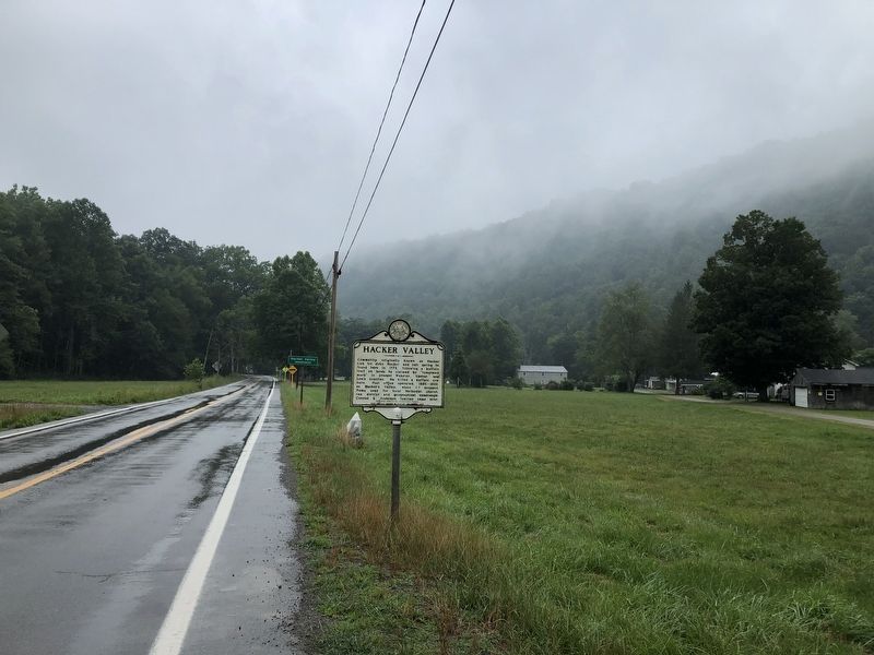
Location. 38° 39.157′ N, 80° 23.075′ W. Marker is in Hacker Valley, West Virginia, in Webster County. Marker is at the intersection of Mountain Parkway (West Virginia Route 20) and School Loop Road, on the right when traveling west on Mountain Parkway. Touch for map. Marker is at or near this postal address: 145 School Loop Rd, Hacker Valley WV 26222, United States of America. Touch for directions.
Other nearby markers. At least 8 other markers are within 11 miles of this marker, measured as the crow flies. The Springhouse (approx. 2.2 miles away); Old Sulphur Spring (approx. 2.2 miles away); Cleveland (approx. 5.1 miles away); Webster County / Upshur County (approx. 5.4 miles away); Walter Cool (approx. 6 miles away); Fort Pickens / Engagements of Co. A (approx. 9.3 miles away); Helvetia (approx. 10.6 miles away); a different marker also named Helvetia (approx. 10.7 miles away).
Credits. This page was last revised on August 5, 2021. It was originally submitted on August 5, 2021, by Devry Becker Jones of Washington, District of Columbia. This page has been viewed 473 times since then and 84 times this year. Photos: 1, 2. submitted on August 5, 2021, by Devry Becker Jones of Washington, District of Columbia.

