Cleveland in Webster County, West Virginia — The American South (Appalachia)
Cleveland
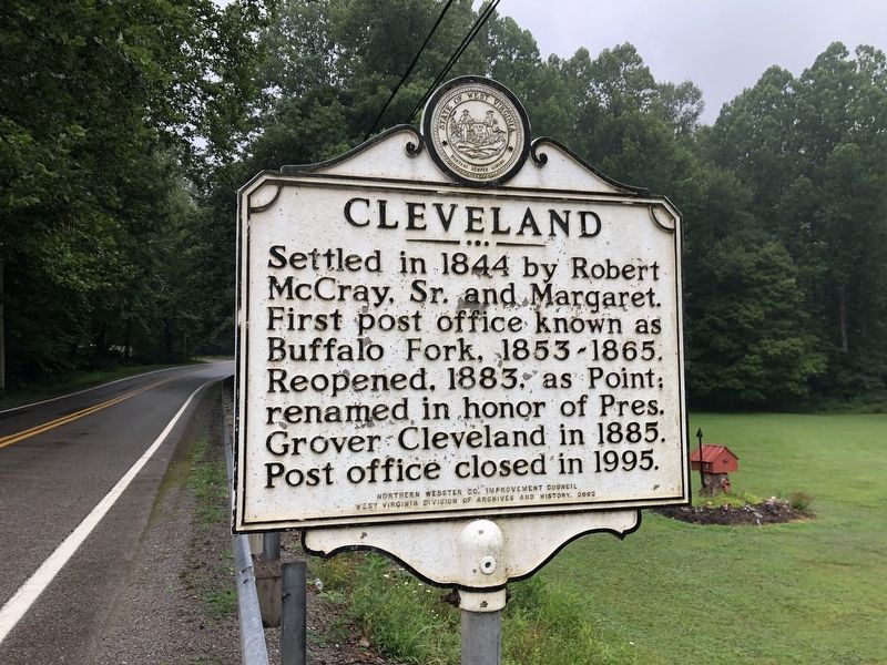
Erected 2002 by Northern Webster Co. Improvement Council, West Virginia Division of Archives and History.
Topics and series. This historical marker is listed in these topic lists: Communications • Settlements & Settlers. In addition, it is included in the West Virginia Archives and History series list. A significant historical year for this entry is 1844.
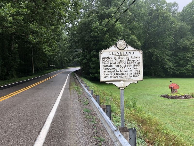
Location. 38° 43.58′ N, 80° 23.591′ W. Marker is in Cleveland, West Virginia, in Webster County. It is on Mountain Parkway (West Virginia Route 20) 0.1 miles south of Shock Lane (County Road 20/21), on the right when traveling south. Touch for map. Marker is in this post office area: Cleveland WV 26215, United States of America. Touch for directions.

Regionally, this marker is in West Virginia’s Potomac Highlands. It is also in the American South, specifically in the Upper South, in Appalachia, and specifically in Southern Appalachia. Globally,
this page online
Other nearby markers. At least 8 other markers are within 9 miles of this marker, measured as the crow flies: Webster County / Upshur County (approx. 0.4 miles away); Old Sulphur Spring (approx. 3 miles away); The Springhouse (approx. 3 miles away); Fort Pickens / Engagements of Co. A (approx. 4½ miles away); Hacker Valley (approx. 5.1 miles away); Lewis County / Braxton County (approx. 7 miles away); Fort Pickens (approx. 7.3 miles away); Veterans Memorial (approx. 8.4 miles away).
Credits. This page was last revised on March 7, 2023. It was originally submitted on August 5, 2021, by Devry Becker Jones of Washington, District of Columbia. This page has been viewed 422 times since then and 54 times this year. Photos: 1, 2. submitted on August 5, 2021, by Devry Becker Jones of Washington, District of Columbia.
