Mullen in Hooker County, Nebraska — The American Midwest (Upper Plains)
Mullen
Hooker County
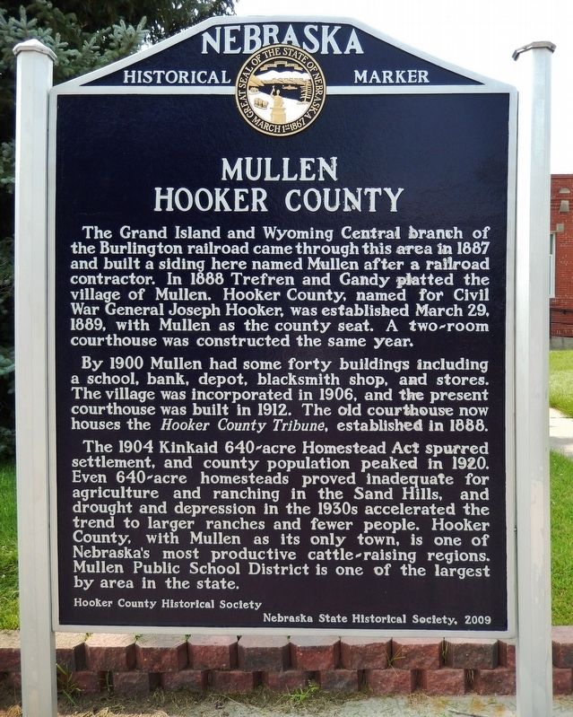
The Grand Island and Wyoming Central branch of the Burlington railroad came through this area in 1887 and built a siding here named Mullen after a railroad contractor. In 1888 Trefren and Gandy platted the village of Mullen. Hooker County, named for Civil War General Joseph Hooker, was established March 29, 1889, with Mullen as the county seat. A two-room courthouse was constructed the same year.
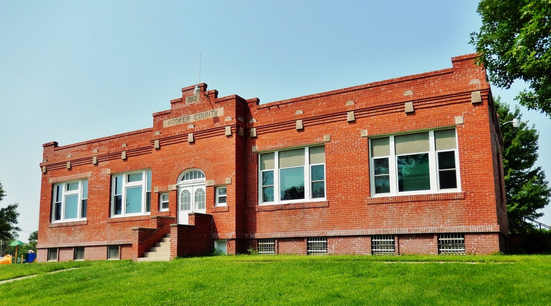
By 1900 Mullen had some forty buildings including a school, bank, depot, blacksmith shop, and stores. The village was incorporated in 1906, and the present courthouse was built in 1912. The old courthouse now houses the Hooker County Tribune, established in 1888.
The 1904 Kinkaid 640-acre Homestead Act spurred settlement, and county population peaked in 1920. Even 640-acre homesteads proved inadequate for agriculture and ranching in the Sand Hills, and drought and depression in the 1930s accelerated the trend to larger ranches and fewer people. Hooker County, with Mullen as its only town, is one of Nebraska’s most productive cattle-raising regions. Mullen Public School District is one of the largest by area in the state.
Erected 2009 by Hooker County Historical Society; and Nebraska State Historical Society. (Marker Number 471.)
Topics and series. This historical marker is listed in these topic lists: Agriculture • Railroads & Streetcars • Settlements & Settlers. In addition, it is included in the Nebraska State Historical Society series list. A significant historical date for this entry is March 29, 1889.
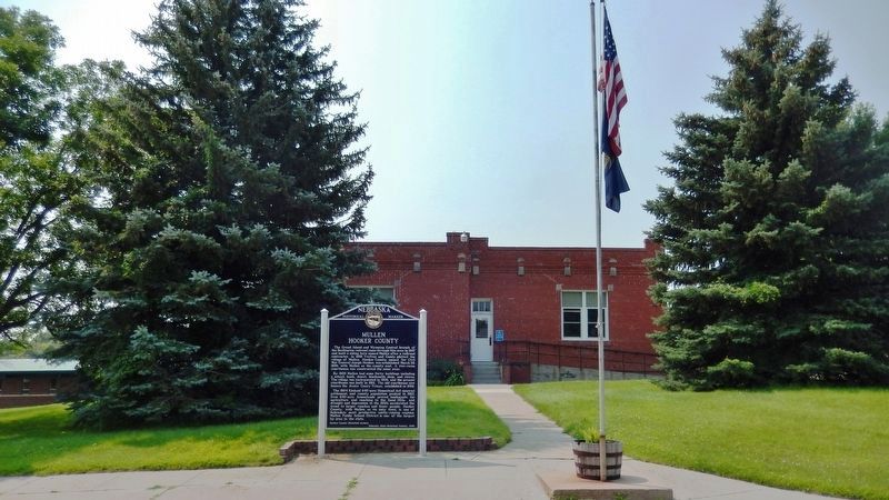
Location. 42° 2.571′ N, 101° 2.736′ W. Marker is in Mullen, Nebraska, in Hooker County. Marker is on Northwest 1st Street west of North Cleveland Avenue, on the left when traveling west. Marker is located beside the sidewalk on the north side of the Hooker County Courthouse grounds. Touch for map. Marker is at or near this postal address: 303 Northwest 1st Street, Mullen NE 69152, United States of America. Touch for directions.
Other nearby markers. At least 1 other marker is within 10 miles of this marker, measured as the crow flies. Site of Hecla, Nebraska (approx. 10 miles away).
Also see . . .
1. Mullen — Hooker County. Explore Nebraska:
Mullen took steps to become an incorporated village in 1907. Prior to this, all residents had their own wells and "privies." Streets and roads were powdery sand and of course there was no electricity. By incorporating, the town could levy taxes for improvements. Over the years, Mullen put in water and sewer systems, erected an electric
light plant, and surfaced the streets. Hooker County replaced the two-room frame courthouse in 1912 with a brick building that is presently serving its citizens. (Submitted on August 5, 2021, by Cosmos Mariner of Cape Canaveral, Florida.)
2. The Kinkaid Act of 1904. Wikipedia entry:
The Kinkaid Act of 1904 is a U.S. statute that amended the 1862 Homestead Act so that one section (640 acres) of public domain land could be acquired free of charge, apart from a modest filing fee. It applied specifically to 37 counties in northwest Nebraska, in the general area of the Nebraska Sandhills. Only non-irrigable lands were eligible to be claimed under the provisions of the Kinkaid Act; those that were deemed to be practicably irrigable by the Secretary of the Interior were excluded. (Submitted on August 5, 2021, by Cosmos Mariner of Cape Canaveral, Florida.)
Credits. This page was last revised on March 21, 2022. It was originally submitted on August 5, 2021, by Cosmos Mariner of Cape Canaveral, Florida. This page has been viewed 138 times since then and 11 times this year. Photos: 1, 2, 3. submitted on August 5, 2021, by Cosmos Mariner of Cape Canaveral, Florida.


