Schenectady in Schenectady County, New York — The American Northeast (Mid-Atlantic)
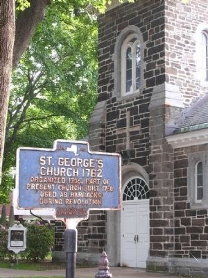
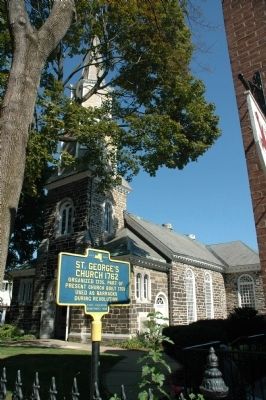
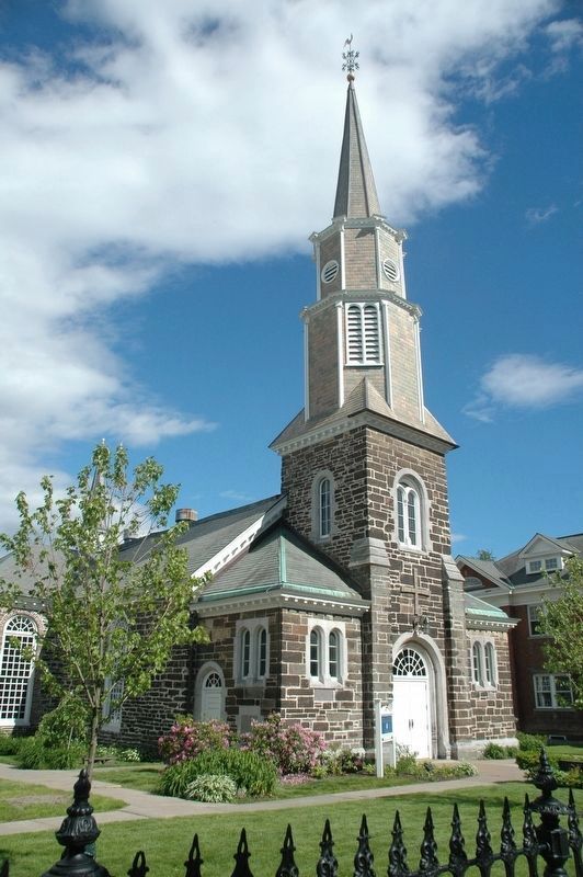
St. George's Church 1762
Present Church Built 1759
Used As Barracks
During Revolution
Erected 1932 by New York State Education Department.
Topics. This historical marker is listed in these topic lists: Cemeteries & Burial Sites • Churches & Religion • War, US Revolutionary. A significant historical year for this entry is 1735.
Location. 42° 49.049′ N, 73° 56.741′ W. Marker is in Schenectady, New York, in Schenectady County. Marker is on North Ferry Street, on the right when traveling north. Touch for map. Marker is in this post office area: Schenectady NY 12305, United States of America. Touch for directions.
Other nearby markers. At least 8 other markers are within walking distance of this marker. Site of Queen's Fort (about 300 feet away, measured in a direct line); 1703–1724 House of Capt. Phillip Schuyler (about 300 feet away); Joseph C. Yates (about 300 feet away); Yates House (about 400 feet away); Ride of Symon Schermerhoorn (about 400 feet away); Oldest House (about 500 feet away); Commemorating Massacre (about 500 feet away); Second Site of Dutch Church (about 500 feet away). Touch for a list and map of all markers in Schenectady.
Credits. This page was last revised on August 8, 2021. It was originally submitted on October 4, 2014, by Howard C. Ohlhous of Duanesburg, New York. This page has been viewed 473 times since then and 13 times this year. Last updated on August 7, 2021, by Sean P. Albert of Schenectady, New York. Photos: 1, 2, 3. submitted on October 4, 2014, by Howard C. Ohlhous of Duanesburg, New York. 4. submitted on June 6, 2017, by Howard C. Ohlhous of Duanesburg, New York. • J. Makali Bruton was the editor who published this page.


