Bramwell in Mercer County, West Virginia — The American South (Appalachia)
Developing the Coal Field
— National Coal Heritage Trail —
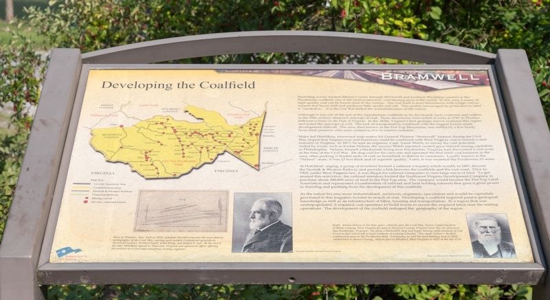
Although it was one of the last of the Appalachian coalfields to be developed, early explorers and settlers in the 18th century observed outcrops of coal. These discoveries were noted as early as 1787 in Thomas Jefferson’s Notes on the State of Virginia. In the 1830s, Virginia’s first geologic survey explored this region and noted the outcrops of coal. The lack of transportation combined with the rugged terrain made development difficult. The area, then known as the Flat Top Mountains, was settled by a few hardy Scots-Irish pioneers who were content to live in relative isolation.
Major Jed Hotchkiss, renowned map-maker for General Thomas “Stonewall” Jackson during the Civil War, hoped that Virginia iron and limestone could be combined with West Virginia coal to launch a steel industry in Virginia. In 1873, he sent an engineer, Capt. Isaiah Welch, to survey the coal potential. Aided by locals, such as Jordon Nelson, the success Welch reported created great interest among capitalists in Philadelphia. Nelson, himself a blacksmith living near Pocahontas, Virginia, had discovered a coal seam at the time of the Civil War. He dug coal for his own use and operated the first retail coal business in the area, often packing ½ bushel sacks of coal on horseback to deliver to customers. Locally known as the “Nelson” seam, it was 13 feet thick and of superior quality. Later, it was renamed the Pocahontas #3 seam.
At Hotchkiss’ urging, a group of investors formed a railroad company which would, in 1881, become the Norfolk & Western Railway and provide a link between the coalfields and the east coast. Prior to 1903, under West Virginia law, it was illegal for railroad companies to own large tracts of land. To get around this restriction, the railroad investors formed the Southwest Virginia Development Company to purchase about 200,000 acres of land in the Flat Top area. The company would become the Flat Top Land Association and represented a combination of railroad and land holding interests that gave it great power in directing and profiting from the development of this coalfield.
As the nation became more industrialized, surveyors, engineers, speculators and would-be capitalists gravitated to this forgotten frontier in search of coal. Developing a coalfield required precise geological knowledge as well as an infrastructure of labor, housing and transportation. In a region that was underpopulated, it required coal operators to build towns to secure the required labor near the mining operations. The development of the coalfield reshaped the geography of the region.
Erected by National Coal Highway Authority and America’s Byways.
Topics. This historical marker is listed in these topic lists: Industry & Commerce • Natural Resources. A significant historical year for this entry is 1787.
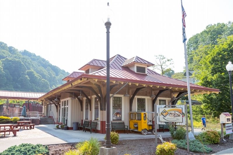
Location. 37° 19.499′ N, 81° 18.8′ W. Marker is in Bramwell, West Virginia, in Mercer County. Marker is at the intersection of Main Street (County Route 120) and Simmons Avenue (Route 120), on the left when traveling west on Main Street. Touch for map. Marker is at or near this postal address: 100 Simmons Avenue, Bramwell WV 24715, United States of America. Touch for directions.
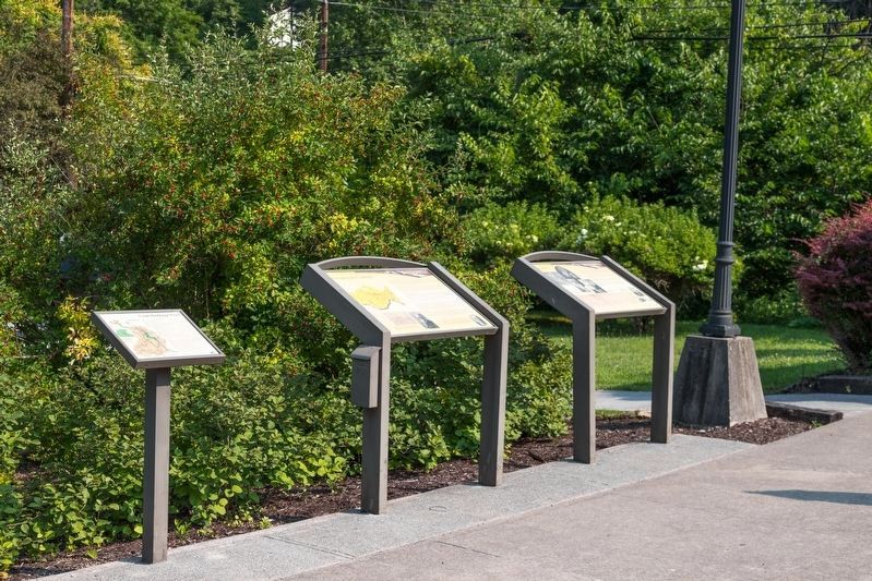
Other nearby markers. At least 8 other markers are within 2 miles of this marker, measured as the crow flies. The Workers (here, next to this marker); The Coming of the Railroad (a few steps from this marker); Evolution of a Town (a few steps from this marker); The Coal Barons (a few steps from this marker); Bramwell (approx. 0.8 miles away); Mill Creek Coal & Coke Co. (approx. 0.8 miles away); Pinnacle Rock (approx. 1.2 miles away); The Birth of Pinnacle Rock State Park (approx. 1.2 miles away). Touch for a list and map of all markers in Bramwell.
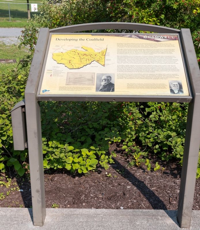
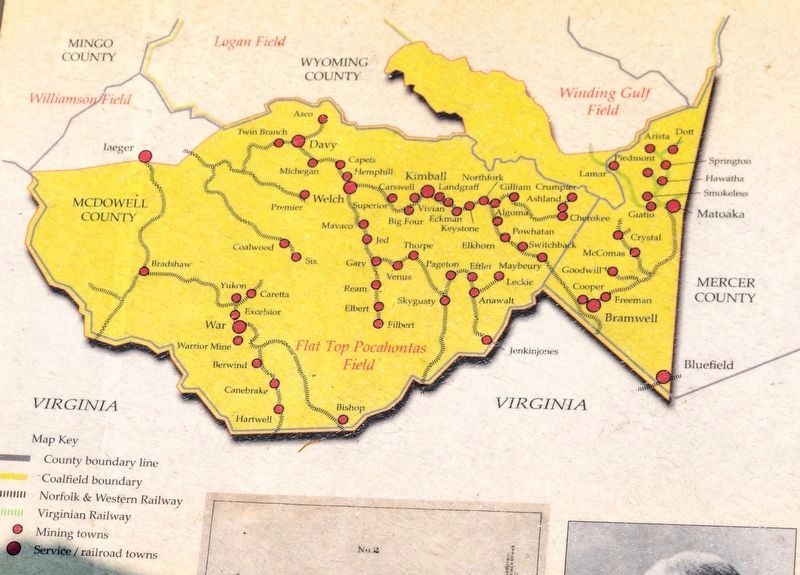
More about this marker. This interpretive panel shows a map of McDowell County, the southernmost county in West Virginia, showing mining towns and railroads. It is followed by a cross-section diagram of Flat-top mountain and its coal seams, and two photographic portraits. They are captioned, left and right,
- Born in Windsor, New York, in 1828, Jedediah Hotchkiss became the most famous cartographer of the Civil War, serving such notable Confederate generals as Stonewall Jackson, Richard Ewell, Jubal Early, and Robert E. Lee. At the end of the war, Hotchkiss moved to Staunton, Virginia, and opened an office, offering his services as a civil and consulting mining engineer.
- Jordon Nelson in his later years. Shortly after the Civil War, Nelson traded his farm in Boone County, West Virginia for land in Tazewell County, Virginia (near the site of present day Pocahontas, Virginia). He setup a blacksmith shop and began mining small amounts of coal to use as fuel and to sell to local residents at a penny a bushel. This made Nelson’s the first commercial mine in the Pocahontas field. Eventually, he sold his land holdings and in 1884 moved back to Boone County. Nelson died in Bluefield, West Virginia in 1922 at the age of 93.
Related marker. Click here for another marker that is related to this marker. Jordon Nelson’s Coal Bank
Additional commentary.
1. Jed Hotchkiss
Mr. Hotchkiss is identified as a major on the marker. In fact he never had military rank although he did petition the Confederate Engineer Corps but it was not granted. It is clear in his diary that he never obtained a commission.
— Submitted May 4, 2023, by Evan Castle of Monroe, Georgia.
Credits. This page was last revised on July 5, 2023. It was originally submitted on August 8, 2021, by J. J. Prats of Powell, Ohio. This page has been viewed 133 times since then and 12 times this year. Photos: 1, 2, 3, 4, 5. submitted on August 8, 2021, by J. J. Prats of Powell, Ohio.
