Atoka in Tipton County, Tennessee — The American South (East South Central)
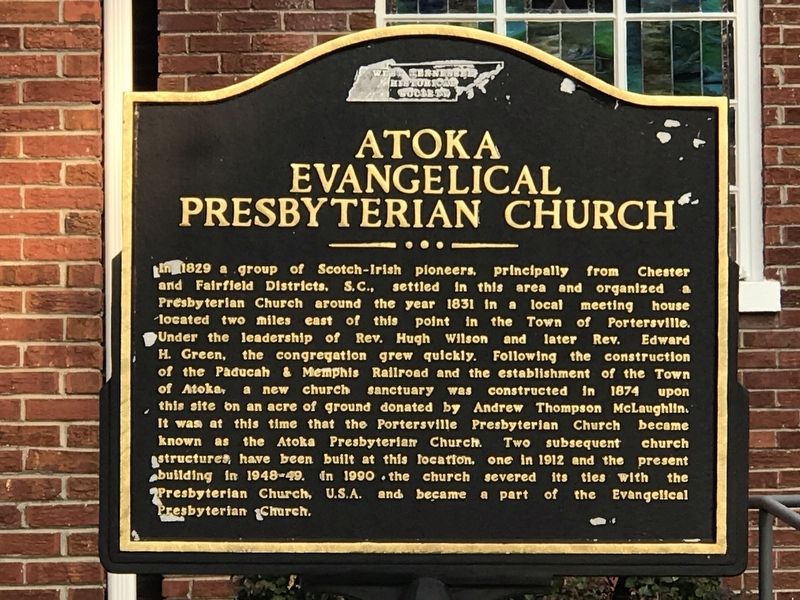
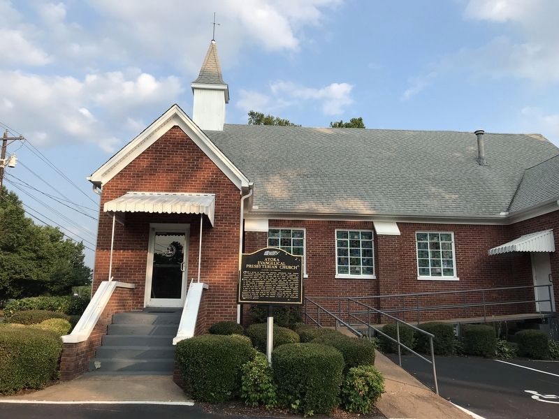
Atoka Evangelical Presbyterian Church
Inscription.
In 1829 a group of Scotch-Irish pioneers, principally from Chester and Fairfield Districts. S.C., settled in this area and organized a Presbyterian Church around the year 1831 in a local meeting house located two miles east of this point in the Town of Portersville. Under the leadership of Rev. Hugh Wilson and later Rev. Edward H. Green, the congregation grew quickly. Following the construction of the Paducah & Memphis Railroad and the establishment of the Town of Atoka, a new church sanctuary was constructed in 1874 upon this site on an acre of ground donated by Andrew Thompson McLaughlin. It was at this time that the Portersville Presbyterian Church became known as the Atoka Presbyterian Church. Two subsequent church structures have been built at this location, one in 1912 and the present building in 1948-49. In 1990 the church severed its ties with the Presbyterian Church, U.S.A. and became a part of the Evangelical Presbyterian Church.
Erected by West Tennessee Historical Society.
Topics. This historical marker is listed in this topic list: Churches & Religion. A significant historical year for this entry is 1831.
Location. 35° 26.204′ N, 89° 46.62′ W. Marker is in Atoka, Tennessee, in Tipton County. Marker is on Atoka-Idaville Road, 0.1 miles east of Meade Lake Road, on the right when traveling east. Touch for map. Marker is at or near this postal address: 1041 Atoka-Idaville Road, Atoka TN 38004, United States of America. Touch for directions.
Other nearby markers. At least 8 other markers are within 5 miles of this marker, measured as the crow flies. Randolph (approx. 0.9 miles away); Mt. Zion — Munford (approx. 2.2 miles away); Munford United Methodist Church (approx. 2.3 miles away); Salem Associate Reformed Presbyterian Church (approx. 2.4 miles away); Anthony Chapel School, Greenwood AME Church & Cemetery (approx. 3.8 miles away); Tipton County Confederate Reunion (approx. 4.4 miles away); Hurst's Raid at Barretville (approx. 4˝ miles away); Bobby Blue Bland (approx. 4˝ miles away). Touch for a list and map of all markers in Atoka.
Credits. This page was last revised on August 9, 2021. It was originally submitted on August 9, 2021, by Duane and Tracy Marsteller of Murfreesboro, Tennessee. This page has been viewed 155 times since then and 22 times this year. Photos: 1, 2. submitted on August 9, 2021, by Duane and Tracy Marsteller of Murfreesboro, Tennessee.

