Middleport in Niagara County, New York — The American Northeast (Mid-Atlantic)
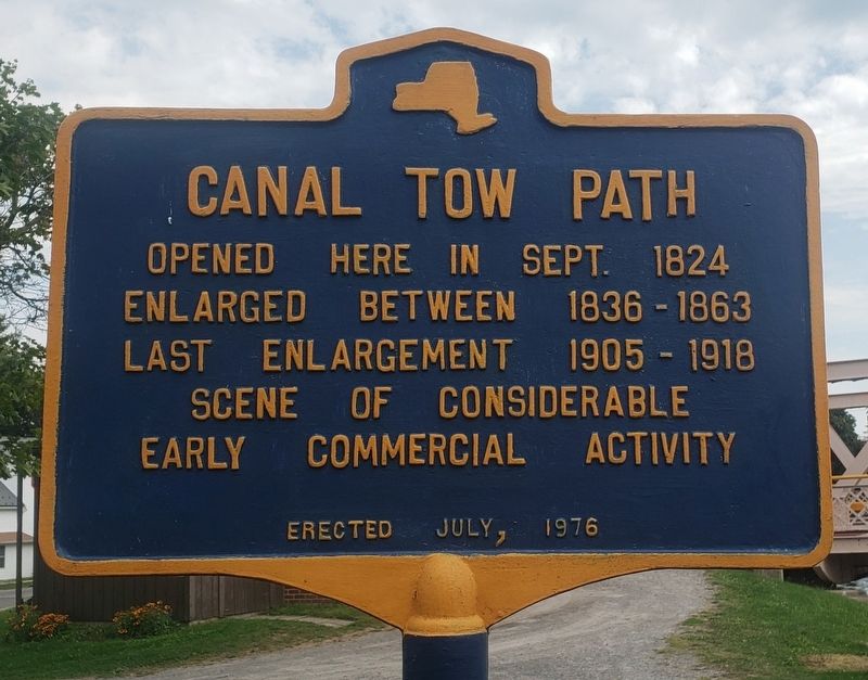
Canal Tow Path
Opened here in Sept. 1824
Enlarged between 1836 - 1863
Last enlargement 1905 - 1918
Scene of considerable early commercial activity
Erected 1976.
Topics. This historical marker is listed in these topic lists: Industry & Commerce • Waterways & Vessels. A significant historical month for this entry is September 1824.
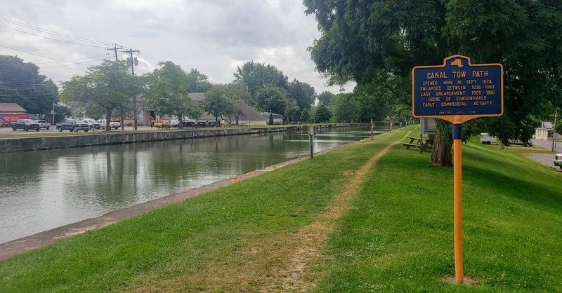
Location. 43° 12.78′ N, 78° 28.608′ W. Marker is in Middleport, New York, in Niagara County. Marker is on Mill Street west of North Main Street (New York State Route 271), on the right when traveling east. Located on the towpath and walking trail on the bank of the Erie Canal. Touch for map. Marker is at or near this postal address: 6 Mill Street, Middleport NY 14105, United States of America. Touch for directions.
Other nearby markers. At least 8 other markers are within walking distance of this marker. McClintock Loomis Clock (about 300 feet away, measured in a direct line); Early Church (about 800 feet away); Middleport Veterans Memorial (approx. 0.2 miles away); Clute-Phillips Post 938 Veterans Memorial (approx. 0.2 miles away); Veterans Memorial (approx. 0.2 miles away); a different marker also named Veterans Memorial (approx. 0.2 miles away); Taylor House (approx. half a mile away); Early Home (approx. half a mile away). Touch for a list and map of all markers in Middleport.
Also see . . . Erie Canal (Wikipedia). (Submitted on August 14, 2021, by Michael Herrick of Southbury, Connecticut.)
Credits. This page was last revised on August 14, 2021. It was originally submitted on August 11, 2021, by Bradley Owen of Morgantown, West Virginia. This page has been viewed 93 times since then and 7 times this year. Photos: 1, 2, 3. submitted on August 11, 2021, by Bradley Owen of Morgantown, West Virginia. • Michael Herrick was the editor who published this page.


