Shiner in Lavaca County, Texas — The American South (West South Central)
Shiner
Photographed by James Hulse, August 4, 2021
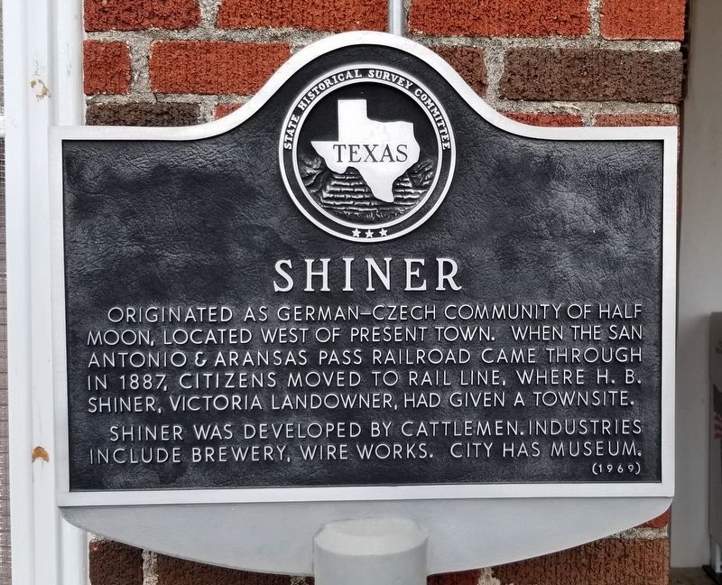
1. Shiner Marker
Originated as German-Czech community of Half Moon, located west of present town. When the San Antonio & Aransas Pass Railroad came through in 1887, citizens moved to rail line, where H.B. Shiner, Victoria landowner, had given a townsite. Shiner was developed by cattlemen. Industries include brewery, wire works. City has museum.
Erected 1969 by State Historical Survey Committee. (Marker Number 4684.)
Topics. This historical marker is listed in these topic lists: Industry & Commerce • Railroads & Streetcars • Settlements & Settlers. A significant historical year for this entry is 1887.
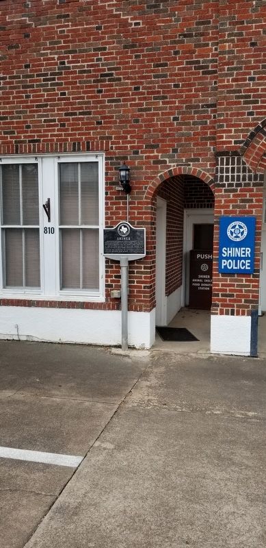
Location. 29° 25.861′ N, 97° 10.402′ W. Marker is in Shiner, Texas, in Lavaca County. It is at the intersection of North Avenue E (Alternate U.S. 90) and 8th Street, on the left when traveling north on North Avenue E. The marker is located on the left side of the City Hall building. Touch for map. Marker is at or near this postal address: 802 North Avenue E, Shiner TX 77984, United States of America. Touch for directions.

Regionally, this marker is in the American South and on the Gulf Coast. Globally, it is in North America,
this page online
Other nearby markers. At least 8 other markers are within walking distance of this marker: Scrap Iron Drive (a few steps from this marker); Shiner, Texas (about 400 feet away, measured in a direct line); Welhausen Park Bandstand (about 500 feet away); First National Bank of Shiner (about 500 feet away); Captain Charles Welhausen (about 500 feet away); Palace Saloon and Cafe (about 500 feet away); Shiner Opera House (about 700 feet away); Masonic Lodge Building (approx. 0.2 miles away). Touch for a list and map of all markers in Shiner.
Also see . . . Shiner Texas.
Shiner is at the intersection of U.S. Highway 90A and State Highway 95, fourteen miles west of Hallettsville in western Lavaca County. In 1885 a post office called Half Moon was opened at a trading post near the present site of Shiner. When the San Antonio and Aransas Pass Railway came to the area in 1887 it bypassed(Submitted on August 11, 2021, by James Hulse of Medina, Texas.)Half Moon and built through land owned by Henry B. Shiner. Shiner donated 250 acres for a right-of-way and depot, and a town soon grew around the new transportation facilities. Source: The Handbook of TexasPhotographed by James Hulse, August 4, 20212. The Shiner Marker in front of City Hall
Photographed by James Hulse, August 4, 2021
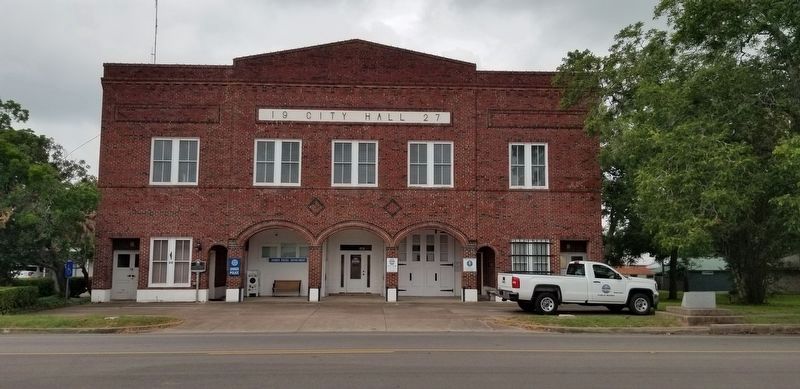
3. The Shiner City Hall
The marker is located on the left side of City Hall.
Credits. This page was last revised on August 11, 2021. It was originally submitted on August 11, 2021, by James Hulse of Medina, Texas. This page has been viewed 507 times since then and 64 times this year. Photos: 1, 2, 3. submitted on August 11, 2021, by James Hulse of Medina, Texas.
