Near Seebert in Pocahontas County, West Virginia — The American South (Appalachia)
Home for a Separatist Community
Greenbrier River Trail
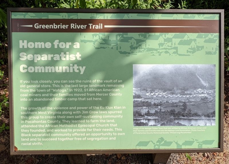
The growth of the violence and power of the Ku Klux Klan in southern West Virginia along with Jim Crow laws spurred this group to create their own self-sustaining community in Pocahontas County. They learned to farm the land, attended the African Methodist Episcopal Church that they founded, and worked to provide for their needs. This Black separatist community offered an opportunity to own land and to succeed together free of segregation and racial strife.
(caption)
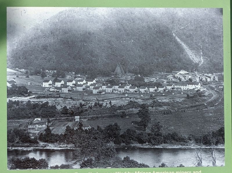
Image of the Watoga Timber Town that was settled by African American miners and their families and transformed into the Watoga Land Association. Photo Courtesy of Pocahontas County Historical Society "Preserving Pocahontas"
Erected by Greenbrier River Trail.
Topics. This historical marker is listed in these topic lists: African Americans • Civil Rights • Settlements & Settlers. A significant historical year for this entry is 1922.
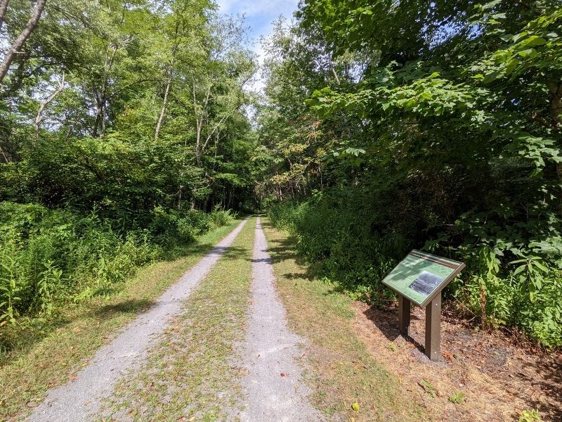
Location. 38° 8.66′ N, 80° 9.077′ W. Marker is near Seebert, West Virginia, in Pocahontas County. Marker can be reached from Greenbrier River Trail, 1.1 miles north of Seebert Road (County Route 27), on the right when traveling north. Touch for map. Marker is in this post office area: Marlinton WV 24954, United States of America. Touch for directions.
Other nearby markers. At least 8 other markers are within 3 miles of this marker, measured as the crow flies. A Spectacular Crash! (approx. 0.2 miles away); William L. "Mudwall" Jackson (approx. 1.7 miles away); Battle Of Mill Point (approx. 1.9 miles away); Anna Wallace (approx. 1.9 miles away); Mill Point (approx. 1.9 miles away); Yankee Army Camp (approx. 2.9 miles away); Birthplace of Pearl S. Buck (approx. 2.9 miles away); Union Camp (approx. 2.9 miles away).
Also see . . .
1. Preserving Pocahontas. (Submitted on August 13, 2021.)
2. Greenbrier River Trail. West Virginia State Parks (Submitted on August 13, 2021.)
Credits. This page was last revised on August 13, 2021. It was originally submitted on August 11, 2021, by Bernard Fisher of Richmond, Virginia. This page has been viewed 635 times since then and 31 times this year. Photos: 1. submitted on August 11, 2021, by Bernard Fisher of Richmond, Virginia. 2. submitted on August 13, 2021, by Bernard Fisher of Richmond, Virginia. 3. submitted on August 11, 2021, by Bernard Fisher of Richmond, Virginia.


