Shiner in Lavaca County, Texas — The American South (West South Central)
Shiner, Texas
1887 - 1976
Photographed by James Hulse, August 4, 2021
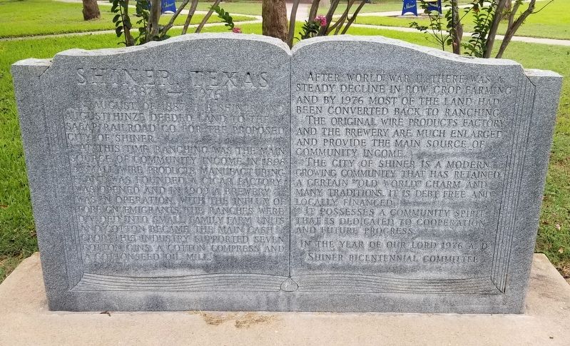
1. Shiner, Texas Marker
In August of 1887, H.B Shiner and August Hinze deeded land to the SA&AP Railroad Co. for the proposed city of Shiner.
At this time, ranching was the main source of community income. In 1898 a small wire products manufacturing plant was founded. A cigar factory was opened and in 1909 a brewery was in operation. With the influx of foreign emigrants, the ranches were divided into small family farm units and cotton became the main cash crop. This industry supported seven cotton gins. A cotton compress and s cottonseed oil mill.
After World War II, there was a steady decline in row crop farming and by 1976 most of the land had been converted back to ranching.
The original wire products factory and the brewery are much enlarged and provide the main source of community income.
The City of Shiner is a modern growing community that has retained a certain old world charm and many traditions. It is debt free and locally financed.
It possesses a community spirit that is dedicated to cooperation and future progress.
Erected 1976 by Shiner Bicentennial Committee.
Topics. This historical marker is listed
this page online
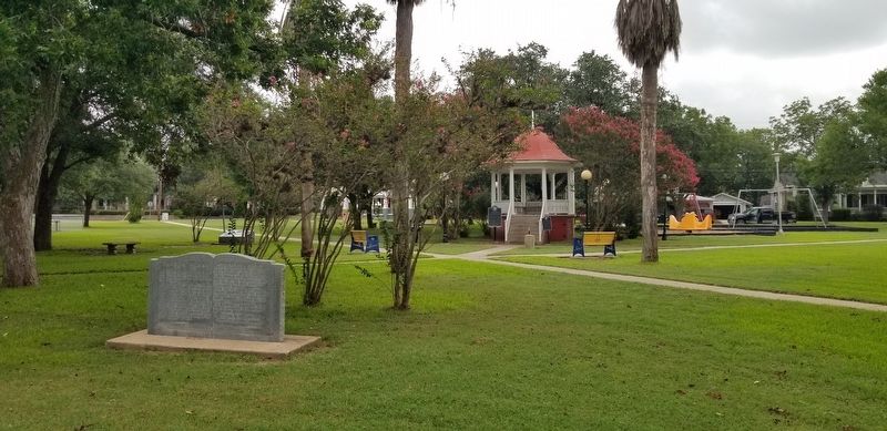
Location. 29° 25.93′ N, 97° 10.425′ W. Marker is in Shiner, Texas, in Lavaca County. It can be reached from the intersection of Avenue E (Alternate U.S. 90) and East 9th Street. The marker is located at the center of Welhausen Park. Touch for map. Marker is in this post office area: Shiner TX 77984, United States of America. Touch for directions.

Regionally, this marker is in the American South and on the Gulf Coast. Globally, it is in North America, a Gulf of Mexico state, the Western Hemisphere, the Western World, and the Anglosphere. Historically, it finds itself in what was once New Spain, the Republic of Texas, one of the Confederate States of America, and the Antebellum South.
Other nearby markers. At least 8 other markers are within walking distance of this marker: Welhausen Park Bandstand (within shouting distance of this marker); Captain Charles Welhausen (within shouting distance of this marker); Scrap Iron Drive (about 400 feet away, measured in a direct line); a
Photographed by James Hulse, August 4, 2021
2. The Shiner, Texas Marker is in the Welhausen Park.
Credits. This page was last revised on August 12, 2021. It was originally submitted on August 11, 2021, by James Hulse of Medina, Texas. This page has been viewed 522 times since then and 31 times this year. Photos: 1, 2. submitted on August 12, 2021, by James Hulse of Medina, Texas.
