Vermillion in Clay County, South Dakota — The American Midwest (Upper Plains)
Prentis Park
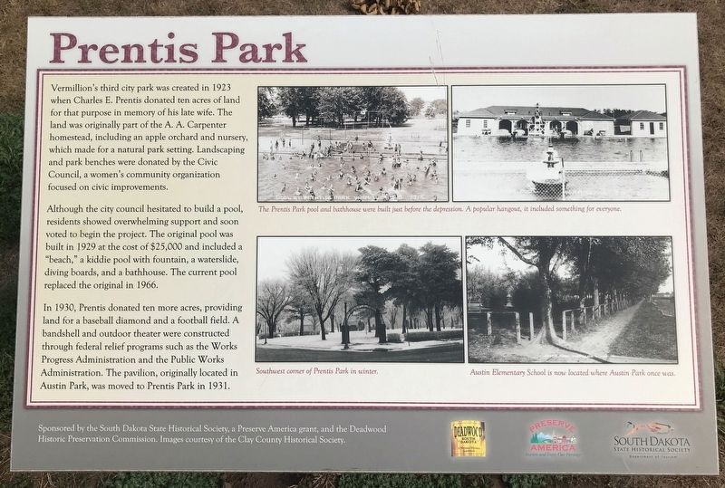
Although the city council hesitated to build a pool, residents showed overwhelming support and soon voted to begin the project. The original pool was built in 1929 at the cost of $25,000 and included a "beach," a kiddie pool with fountain, a waterslide, diving boards, and a bathhouse. The current pool replaced the original in 1966.
In 1930, Prentis donated ten more acres, providing land for a baseball diamond and a football field. A bandshell and outdoor theater were constructed through federal relief programs such as the Works Progress Administration and the Public Works Administration. The pavilion, originally located in Austin Park, was moved to Prentis Park in 1931.
Captions:
The Prentis Park pool and bathhouse were built just before the depression. A popular hangout, it included something for everyone.
Southwest corner of Prentis Park in winter.
Austin Elementary School is now located where Austin Park once was.
Erected by the South Dakota State Historical Society, a Preserve America grant, and the Deadwood Historic Preservation Commission.
Topics. This historical marker is listed in these topic lists: Parks & Recreational Areas • Sports. A significant historical year for this entry is 1923.
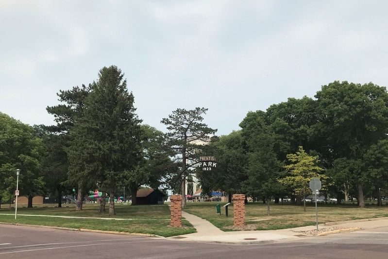
Location. 42° 46.774′ N, 96° 55.183′ W. Marker is in Vermillion, South Dakota, in Clay County. Marker is at the intersection of North Plum Street and East Main Street, on the right when traveling north on North Plum Street. Located in the southwest corner of Prentis Park. Touch for map. Marker is in this post office area: Vermillion SD 57069, United States of America. Touch for directions.
Other nearby markers. At least 8 other markers are within walking distance of this marker. Buhrstone (about 300 feet away, measured in a direct line); W. O. "Doc" Farber (approx. 0.4 miles away); Old Main (approx. 0.4 miles away); University of South Dakota (approx. 0.4 miles away); Old Vermillion (approx. half a mile away); The First Baptist Church, Vermillion, South Dakota (approx. half a mile away); Col. George E. "Bud" Day (approx. 0.6 miles away); Capt. Arlo L. Olson (approx. 0.6 miles away). Touch for a list and map of all markers in Vermillion.
Credits. This page was last revised on August 14, 2021. It was originally submitted on August 11, 2021. This page has been viewed 248 times since then and 37 times this year. Photos: 1, 2. submitted on August 11, 2021. • Mark Hilton was the editor who published this page.

