Nantucket in Nantucket County, Massachusetts — The American Northeast (New England)
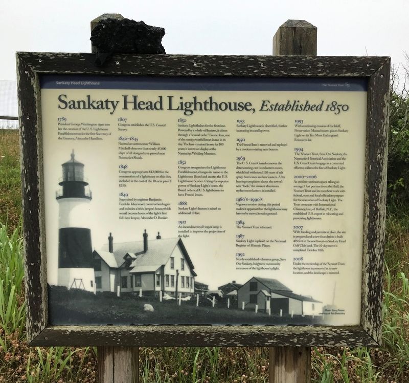
Sankaty Head Lighthouse
Established 1850
1789
President George Washington signs into law the creation of the U.S. Lighthouse Establishment under the first Secretary of Treasury, Alexander Hamilton.
1807
Congress establishes the U.S. Coastal Survey.
1842-1845
Nantucket astronomer William Mitchell observes that nearly 45,000 ships of all designs have passed near Nantucket Shoals.
1848
Congress appropriates $12,000 for the construction of a lighthouse on this site; included is the cost of the 10-acre parcel: $250.
1849
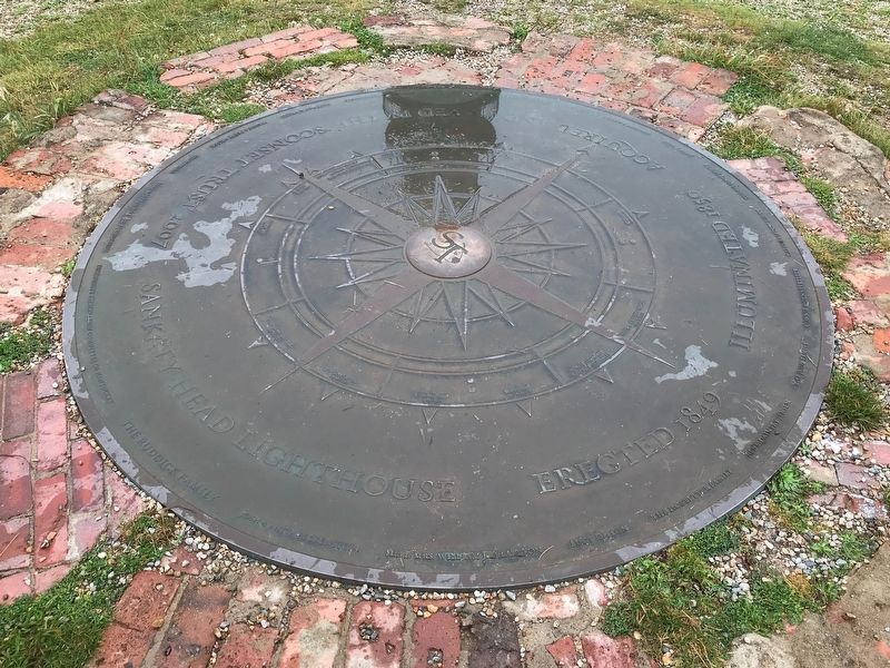
Supervised by engineer Benjamin Franklin Isherwood, construction begins and includes a brick keeper's house, which would become home of the light's first full-time keeper, Alexander D. Bunker.
1850
Sankaty Light flashes for the first time. Powered by a whale-oil lantern, it shines through a "second order" Fresnel lens, one of the most powerful lenses in use in its day. The lens remained in use for 100 years; it is now on display at the Nantucket Whaling Museum.
1852
Congress reorganizes the Lighthouse Establishment, changes its name to the Lighthouse Board and creates the U.S. Lighthouse Service. Citing the superior power of Sankaty Light's beam, the Board orders all U.S. lighthouses to have Fresnel lenses.
1888
Sankaty Light's lantern is raised an additional 10 feet.
1912
An incandescent oil-vapor lamp is installed to improve the projection of the light.
1933
Sankaty Lighthouse is electrified, further increasing its candlepower.
1950
The Fresnel lens is removed and replaced by a modern rotating aero beacon.
1969
The U.S. Coast Guard removes the deteriorating cast-iron lantern room, which had withstood 120 years of salt spray, hurricanes and nor'easters. After hearing complaints about the tower's new "look," the current aluminum replacement lantern is installed.
1980's-1990's
Vigorous erosion during this period makes it apparent that the lighthouse may have to be moved to safer ground.
1984
The 'Sconset Trust is formed.
1987
Sankaty Light is placed on the National Register of Historic Places.
1992
Newly-established volunteer group, Save Our Sankaty, heightens community awareness of the lighthouse's plight.
1993
With continuing erosion of the bluff, Preservation Massachusetts places Sankaty Light on its Ten Most Endangered Resources list.
1994
The 'Sconset Trust, Save Our Sankaty, the Nantucket Historical Association and the U.S. Coast Guard engage in a concerted effort to address the fate of Sankaty Light.
2000-2006
As erosion continues apace taking an average 3 feet per year from the bluff, the 'Sconset Trust and its members work with federal, state and local officials to prepare for the relocation of Sankaty Light. The Trust contracts the International Chimney, Inc., of Buffalo, N.Y., the established U.S. expert in relocating and preserving lighthouses.
2007
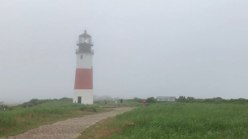
With funding and permits in place, the site is prepared and a new foundation is built 405 feet to the northwest on Sankaty Head Golf Club land. The 10-day move is completed October 10th.
2008
Under the ownership of the 'Sconset Trust, the lighthouse is preserved at its new location, and the landscape is restored.
Photo: Harry Turner, courtesy of Rob Benchley
Erected by The 'Sconset Trust.
Topics and series. This historical marker is listed in these topic lists: Architecture • Waterways & Vessels. In addition, it is included in the Lighthouses series list. A significant historical year for this entry is 1789.
Location. 41° 16.996′ N, 69° 57.903′ W. Marker is in Nantucket, Massachusetts, in Nantucket County. Marker is on Baxter Road north of Bayberry Sias Lane when traveling north. Located at the entrance of the lighthouse area. Touch for map. Marker is at or near this postal address: 122 Baxter Road, Nantucket MA 02554, United States of America. Touch for directions.
Other nearby markers. At least 8 other markers are
within 7 miles of this marker, measured as the crow flies. Sankaty Head Geology (within shouting distance of this marker); The Wreck of the H.P. Kirkham (about 400 feet away, measured in a direct line); Desert Shield And Desert Storm Memorial (approx. 7 miles away); Nantucket World War II Monument (approx. 7 miles away); Korean Conflict, World War I, and Vietnam Era Memorial (approx. 7 miles away); Thomas Turner Square (approx. 7 miles away); R.H. Macy (approx. 7 miles away); "Town’s Meridian Line"… (approx. 7 miles away). Touch for a list and map of all markers in Nantucket.
Also see . . .
1. Sankaty Head Lighthouse - The ’Sconset Trust. (Submitted on August 15, 2021, by Michael Herrick of Southbury, Connecticut.)
2. Sankaty Head Light (Wikipedia). (Submitted on August 15, 2021, by Michael Herrick of Southbury, Connecticut.)
Credits. This page was last revised on August 15, 2021. It was originally submitted on August 12, 2021. This page has been viewed 162 times since then and 27 times this year. Photos: 1, 2, 3. submitted on August 12, 2021. • Michael Herrick was the editor who published this page.


