Mount Hope in Fayette County, West Virginia — The American South (Appalachia)
A Commercial Center
| — | The Dunloup Creek Watershed | — |
Photographed by J. J. Prats, July 25, 2021
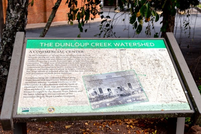
1. A Commercial Center Marker
As the community of Mount Hope developed with the coal interests during the early 20th century, it emerged as one of the premier commercial and industrial centers of the New River coalfields, serving a steady customer base of both workers and executives. Located west of Dunloup Creek and running generally parallel to its alignment, Main Street evolved as the primary commercial thoroughfare. Stores, restaurants, hotels, movie theatres, and banks opened along its length, with many of the buildings rebuilt in masonry after the 1910 fire that erased the first generation of Main Street buildings.
Complementing the commerce found along Main Street, Mill and Center Streets served as secondary arteries running southeast to the Chesapeake & Ohio Railway and the bank of Dunloup Creek. Both Mill and Center Streets were anchored by community institutions, the former occupied by the Mount Hope Bakery and the latter leading to the operations of the successful Mount Hope Lumber Company.
Erected by United States Department of Agriculture Natural Resources Conservation Service West Virginia, and the West Virginia Division of Culture
this page online
Topics. This historical marker is listed in this topic list: Notable Places. A significant historical year for this entry is 1910.
Location. 37° 53.557′ N, 81° 10.078′ W. Marker is in Mount Hope, West Virginia, in Fayette County. It is on Main Street (West Virginia Route 211) just east of South Center Street, on the left when traveling west. Touch for map. Marker is at or near this postal address: 514 Main St, Mount Hope WV 25880, United States of America. Touch for directions.

Regionally, this marker is in the New River Gorge and in Greater Charleston Area. It is also in the American South, specifically in the Upper South, in Appalachia, and specifically in Southern Appalachia. Globally, it is in North America, the Western Hemisphere, the Western World, and the Anglosphere. Historically, it finds itself in what was once the territory of the Mississippian Culture.
Other nearby markers. At least 8 other markers are within walking distance of this marker: Bailey Row (here, next to this marker); Historic Mount Hope Walking Tour (here, next to this marker);
Photographed by J. J. Prats, July 25, 2021
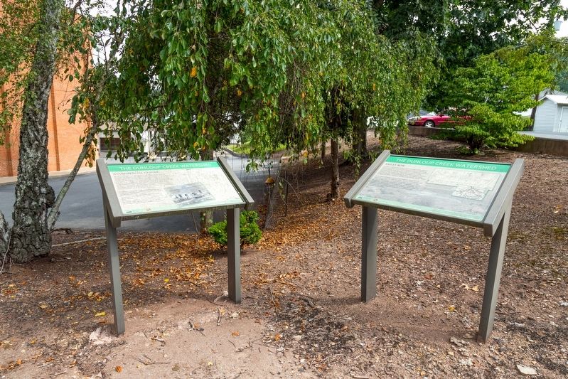
2. A Commercial Center and Bailey Row Interpretive Signs
This marker is the one on the left.
More about this marker. This interpretive panel is illustrated with a photograph and a map. They are captioned, “undated photograph of shipment cart in front of the Mt. Hope Bakery. Photograph courtesy of Walter Caldwell,” and “1923 Sanborn Fire Insurance Company map of the Main Street section of Mount Hope, West Virginia.”
Also see . . . PDF: Mount Hope Historic Tour. (Submitted on August 13, 2021, by J. J. Prats of Powell, Ohio.)
Photographed by J. J. Prats, July 25, 2021
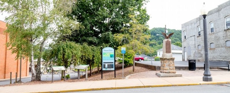
3. Interpretive Signs on the Left, War Memorial on the Right
Credits. This page was last revised on August 13, 2021. It was originally submitted on August 13, 2021, by J. J. Prats of Powell, Ohio. This page has been viewed 233 times since then and 20 times this year. Photos: 1, 2, 3. submitted on August 13, 2021, by J. J. Prats of Powell, Ohio.
