Oregon in Holt County, Missouri — The American Midwest (Upper Plains)
Holt County
Photographed by Cosmos Mariner, August 14, 2021
1. Holt County Marker (side 1)
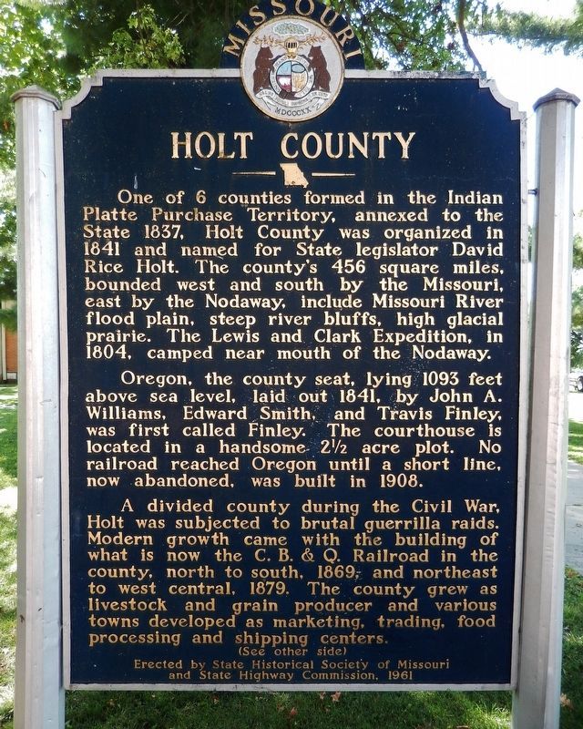
One of 6 counties formed in the Indian Platte Purchase Territory, annexed to the State 1837, Holt County was organized in 1841 and named for State legislator David Rice Holt. The county's 456 square miles, bounded west and south by the Missouri, east by the Nodaway, include Missouri River flood plain, steep river bluffs, high glacial prairie. The Lewis and Clark Expedition, in 1804, camped near mouth of the Nodaway.
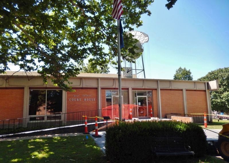
Oregon, the county seat, lying 1093 feet above sea level, laid out 1841, by John A. Williams, Edward Smith, and Travis Finley, was first called Finley. The courthouse is located in a handsome two-and-a-half acre plot. No railroad reached Oregon until a short line, now abandoned, was built in 1908.
A divided county during the Civil War, Holt was subjected to brutal guerrilla raids. Modern growth came with the building of what is now the C.B. & Q. Railroad in the county, north to south, 1869, and northeast to west central, 1879. The county grew as livestock and grain producer and various towns developed as marketing, trading, food processing and shipping centers.
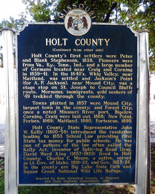
Holt County's first settlers were Peter
this page online
Towns platted in 1857 were Mound City, largest town in the county, and Forest City, once a noted Missouri River port. Bigelow, Corning, Craig were laid out 1868; New Point, Forbes, 1869; Maitland, 1880; Fortescue, 1890.
Holt County State Representative John W. Kelly (1800-58) introduced the resolution leading to 1853 School Law providing first State tax money for public schools. He was one of authors of the law often called the Kelly act. Inventor of Split-log Road Drag, David Ward King (1857-1920) lived in Holt County. Charles C. Moore, a native, served as Lt. Gov. of Idaho, 1919-22, and Gov. 1923-26. In the county are Big Lake State Park and Squaw Creek National Wild Life Refuge.
Erected 1961 by State Historical Society of Missouri; and State Highway Commission.
Photographed by Cosmos Mariner, August 14, 2021
2. Holt County Marker (side 2)
Topics and series. This historical marker is listed in these topic lists: Industry & Commerce • Railroads & Streetcars • Settlements & Settlers • War, US Civil. In addition, it is included in the Missouri, The State Historical Society of series list. A significant historical year for this entry is 1837.
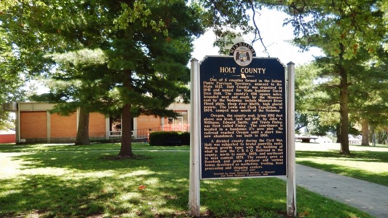
Location. 39° 59.221′ N, 95° 8.643′ W. Marker is in Oregon, Missouri, in Holt County. It is on West Nodaway Street (Missouri Route 111) just east of South Washington Street, on the right when traveling east. Marker is located near the sidewalk, directly in front of the Holt County Courthouse. Touch for map. Marker is at or near this postal address: 100 West Nodaway Street, Oregon MO 64473, United States of America. Touch for directions.

Regionally, this marker is in North Missouri. It is also in the American Midwest, in the Lewis & Clark Corridor, and in the Corn Belt. Globally, it is in North America, the Western Hemisphere, the Western World, and the Anglosphere. Historically, it finds itself in what was once the territory of the Mississippian Culture, the Louisiana Purchase, and the Antebellum South.
Other nearby markers. At
Photographed by Cosmos Mariner, August 14, 2021
3. Holt County Marker
Another marker is no longer nearby. "abounds with Beaver" (was approx. 7.6 miles away in Kansas but has been confirmed missing).
Also see . . . Welcome to Holt County. County website homepage (Submitted on November 17, 2025, by Larry Gertner of New York, New York.)
Photographed by Cosmos Mariner, August 14, 2021
4. Holt County Courthouse
Credits. This page was last revised on November 17, 2025. It was originally submitted on August 14, 2021, by Cosmos Mariner of Cape Canaveral, Florida. This page has been viewed 632 times since then and 51 times this year. Photos: 1, 2, 3, 4. submitted on August 14, 2021, by Cosmos Mariner of Cape Canaveral, Florida.
