Main/Military Plaza in San Antonio in Bexar County, Texas — The American South (West South Central)
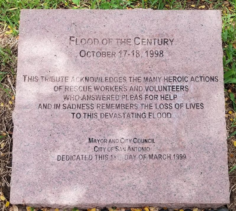
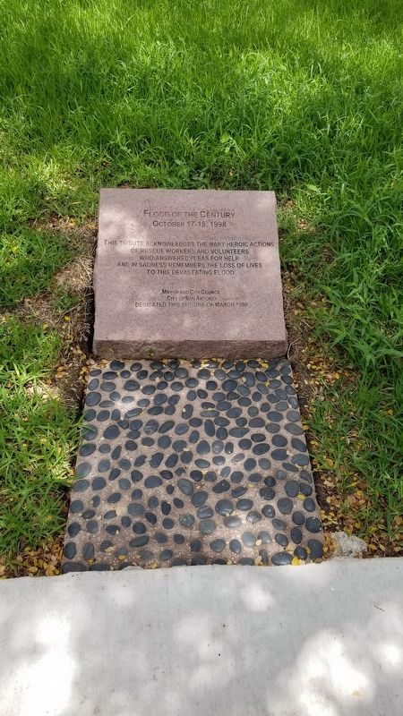
Flood of the Century
October 17-18, 1998
This tribute acknowledges the many heroic actions
of rescue workers and volunteers
who answered pleas for help
and in sadness remembers the loss of lives
to this devastating flood
Mayor and City Council
City of San Antonio
Erected 1999 by Mayor and City Council, City of San Antonio.
Topics. This historical marker is listed in this topic list: Disasters. A significant historical date for this entry is October 17, 1998.
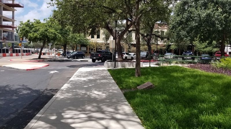
Location. 29° 25.461′ N, 98° 29.713′ W. Marker is in San Antonio, Texas, in Bexar County. It is in Main/Military Plaza. Marker is at the intersection of Dolorosa and South Flores Street, on the right when traveling west on Dolorosa. The marker is located on the southwest corner of the City Hall grounds. Touch for map. Marker is at or near this postal address: 100 Military Plaza, San Antonio TX 78205, United States of America. Touch for directions.
Other nearby markers. At least 8 other markers are within walking distance of this marker. Barbed Wire (a few steps from this marker); Plaza de Armas (within shouting distance of this marker); Jose Francisco Ruiz (within shouting distance of this marker); Moses Austin (within shouting distance of this marker); Growth of a City (within shouting distance of this marker); Zero Milestone Old Spanish Trail (within shouting distance of this marker); Spanish Governor's Palace (within shouting distance of this marker); Still on Patrol (about 300 feet away, measured in a direct line). Touch for a list and map of all markers in San Antonio.
Also see . . . October 1998 Central Texas floods.
The October 1998 Texas Flooding was a flood event that occurred across parts of South Texas and Southeast Texas on the weekend of October 17 and October 18, 1998. The storm that caused it was one of the costliest in the recorded meteorological history of the United States, bringing rainfall of over 20 inches (510 mm) to some parts of Southeast Texas and causing over $ 1.19 billion in damages (2020 USD). 31 people were killed as a result of the storm, mostly from drowning. Source: Wikipedia(Submitted on August 15, 2021, by James Hulse of Medina, Texas.)
Credits. This page was last revised on February 2, 2023. It was originally submitted on August 15, 2021, by James Hulse of Medina, Texas. This page has been viewed 185 times since then and 12 times this year. Photos: 1, 2, 3. submitted on August 16, 2021, by James Hulse of Medina, Texas.


