Donaldson in Trigg County, Kentucky — The American South (East South Central)
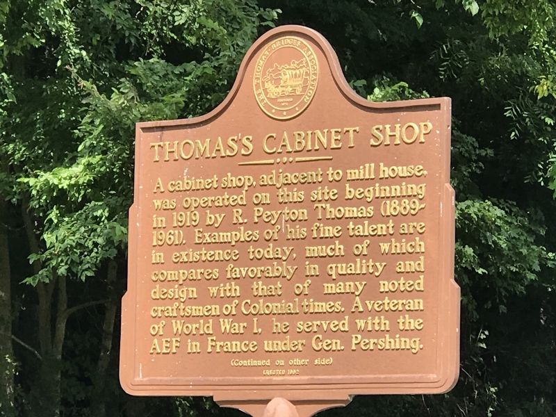
Thomas's Cabinet Shop
⎯⎯⎯
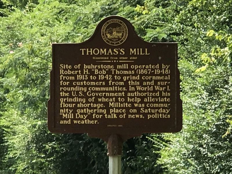
Thomas's Mill
Photographed by Duane and Tracy Marsteller, August 14, 2021
1. Thomas's Cabinet Shop Marker side
Erected 1992 by The Thomas-Bridges Association.
Topics. This historical marker is listed in these topic lists: Industry & Commerce • War, World I. A significant historical year for this entry is 1913.
Location. 36° 45.061′ N, 87° 52.846′ W. Marker is in Donaldson, Kentucky, in Trigg County. It is on Donaldson Creek Road (Kentucky Route 807) ¾ mile east of Maple Grove
this page online

Regionally, this marker is in the American Midwest, in the South, and specifically in the Upper South. Globally, it is in North America, the Western Hemisphere, the Western World, and the Anglosphere. Historically, it finds itself in what was once the territory of the Mississippian Culture and also the Antebellum South.
Other nearby markers. At least 8 other markers are within 2 miles of this marker, measured as the crow flies: James Thomas, Jr. (approx. 0.2 miles away); Donaldson Creek Baptist Church (approx. 0.3 miles away); Donaldson (approx. ¾ mile away); Perry Thomas (approx. ¾ mile away); Upper Donaldson School (approx. 1.2 miles away); Peyton Thomas Cemetery (approx. 1.2 miles away); Lower Donaldson School (approx. 1.3 miles away); James Thomas, Sr. (approx. 1.3 miles away). Touch for a list and map of all markers in Donaldson.
Photographed by Duane and Tracy Marsteller, August 14, 2021
2. Thomas's Mill Marker side
Photographed by Duane and Tracy Marsteller, August 14, 2021
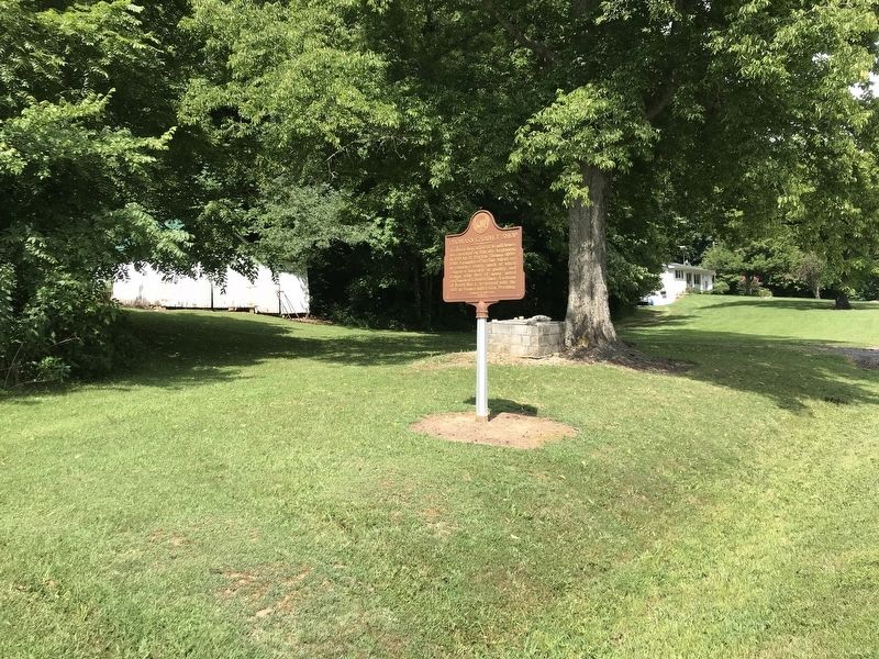
3. Thomas's Cabinet Shop / Thomas's Mill Marker
Credits. This page was last revised on August 15, 2021. It was originally submitted on August 15, 2021, by Duane and Tracy Marsteller of Murfreesboro, Tennessee. This page has been viewed 297 times since then and 44 times this year. Photos: 1, 2, 3. submitted on August 15, 2021, by Duane and Tracy Marsteller of Murfreesboro, Tennessee.
