Rochester in Oakland County, Michigan — The American Midwest (Great Lakes)
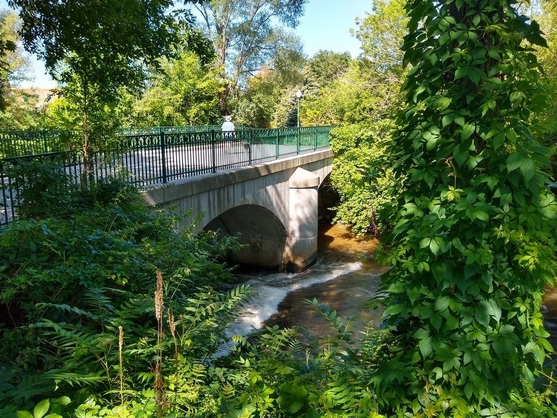
Western Knitting Mills Dam and Michigan Central Railroad Bridge
Inscription.
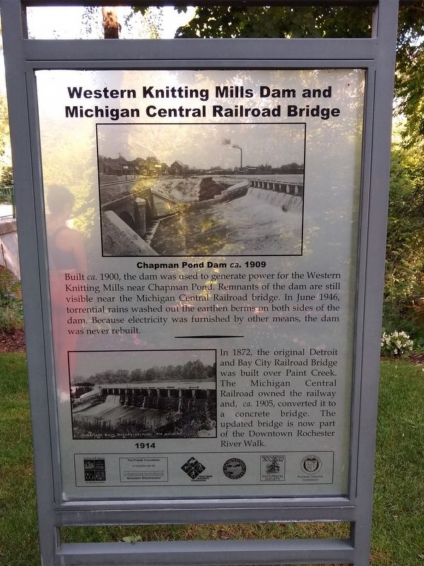
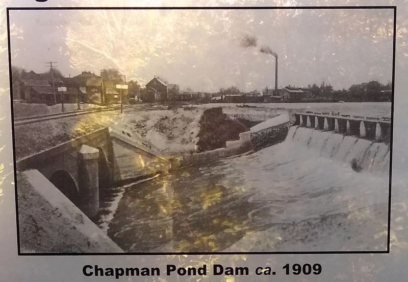
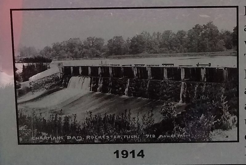
Built ca. 1900, the dam was used to generate power for the Western Knitting Mills near Chapman Pond. Remnants of the dam are still visible near the Michigan Central Railroad bridge. In June 1946, torrential rains washed out the earthen berms on both sides of the dam. Because electricity was furnished by other means, the dam was never rebuilt.
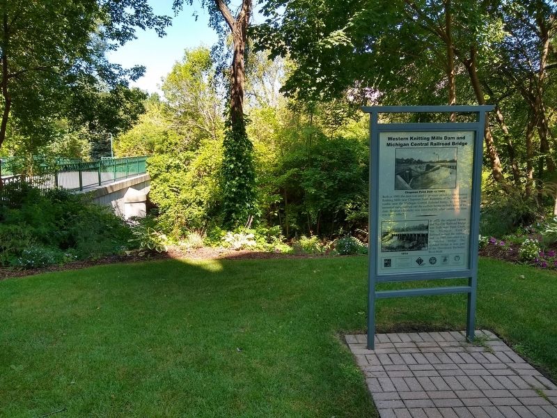
In 1872, the original Detroit and Bay City Railroad Bridge was built over Paint Creek. The Michigan Central Railroad owned the railway and, ca. 1905, converted it to a concrete bridge. The updated bridge is now part of the Downtown Rochester River Walk.
Erected by Rochester Hills Museum at Van Hoosen Farm, The Preede Foundation in conjunction with the Community Foundation of Greater Rochester, Paint Creek Trailways Commission, Downtown Rochester, Rochester-Avon Historical Society, Rochester Historical Commission.
Topics. This historical marker is listed in these topic lists: Bridges & Viaducts • Industry & Commerce • Railroads & Streetcars • Waterways & Vessels. A significant historical month for this entry is June 1946.
Location. 42° 40.861′ N, 83° 7.758′ W. Marker is in Rochester, Michigan, in Oakland County. Marker can be reached from East University Drive west of Elizabeth Street. Marker is along the Rochester River Walk, behind the Royal Park Hotel (about 400 feet west of Elizabeth Street). Touch for map. Marker is at or near this postal address: 600 East University Drive, Rochester MI 48307, United States of America. Touch for directions.
Other nearby markers. At least 8 other markers are within walking distance of this marker. The Hammer (within shouting distance of this marker); Western Knitting Mills and Boarding Houses (about 300 feet away, measured in a direct line); Western Knitting Mills (about 500 feet away); Rochester Train Depot and Rochester Elevator (approx. 0.2 miles away); Chapman Pond (approx. 0.2 miles away); Rochester Paper Mill (approx. 0.2 miles away); Masonic Block (approx. 0.2 miles away); City of Rochester, Michigan (approx. 0.2 miles away). Touch for a list and map of all markers in Rochester.
Credits. This page was last revised on October 23, 2021. It was originally submitted on August 16, 2021, by Joel Seewald of Madison Heights, Michigan. This page has been viewed 147 times since then and 7 times this year. Photos: 1, 2, 3, 4, 5. submitted on August 16, 2021, by Joel Seewald of Madison Heights, Michigan.
