Near Kemmerer in Lincoln County, Wyoming — The American West (Mountains)
Alfred Corum Grave
Photographed by Barry Swackhamer, July 7, 2021
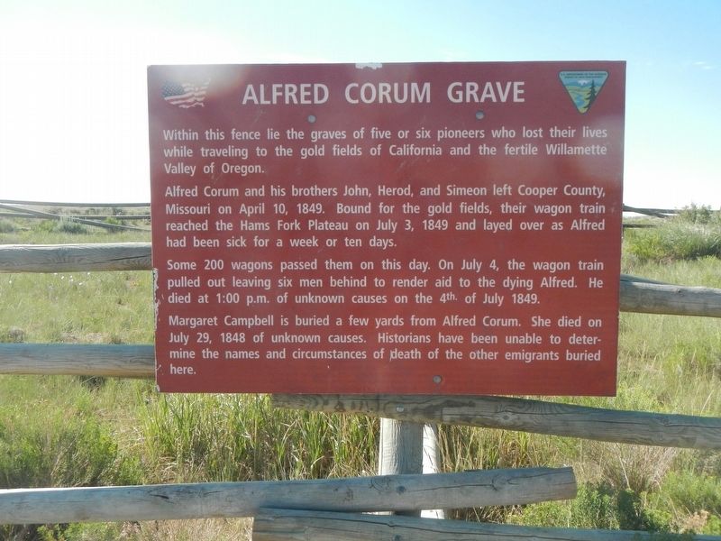
1. Alfred Corum Grave Marker
Alfred Corum and his brothers John, Herod, and Simeon left Cooper County, Missouri on April 10, 1849. Bound for the gold fields, their wagon train reached the Hams Fork Plateau on July 3, 1849 and played over as Alfred had been sick for a week or ten days.
Some 200 wagons passed then on this day. On July 4, the wagon train pulled out leaving six men behind to render aid to the dying Alfred. He died at 1:00 p.m. of unknown causes on the 4th of July 1849.
Margaret Campbell is buried a few yards from Alfred Corum, She died on July 29, 1848 of unknown causes. Historians have been unable to determine the names and circumstances of the death other emigrants buried here.
Erected by Bureau of Land Management.
Topics and series. This historical marker is listed in these topic lists: Cemeteries & Burial Sites • Settlements & Settlers. In addition, it is included in the Oregon Trail series list. A significant historical date for this entry is July 4, 1849.
Location. 41° 56.164′ N,
this page online

Regionally, this marker is in the Westward Expansion Trails Region and in Greater Yellowstone. It is also in the American Mountain West. Globally, it is in North America, the Rocky Mountains, the Western Hemisphere, the Western World, and the Anglosphere. Historically, it finds itself in what was once Mexico’s Alta California.
Other nearby markers. At least 8 other markers are within 14 miles of this marker, measured as the crow flies: Nancy Jane Hill (approx. 0.2 miles away); Emigrant Springs (approx. 2.2 miles away); The Landscape and the Quarries (approx. 7.2 miles away); Fossil Butte (approx. 9.8 miles away); Oregon Trail Memorial (approx. 13.8 miles away); Wyoming Centennial (approx. 13.8 miles away); Kemmerer Founders Monument (approx. 13.8 miles away); Home of James C. Penney (approx. 13.9 miles away). Touch for a list and map
Photographed by Barry Swackhamer, July 7, 2021
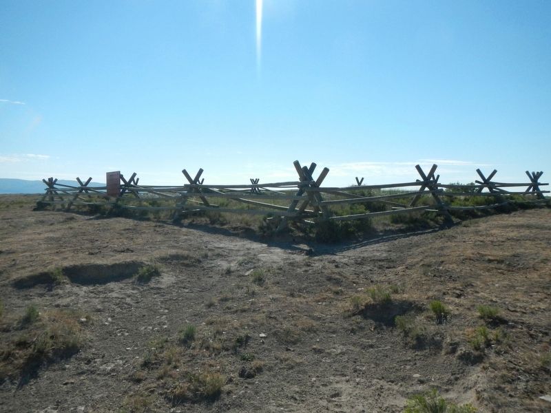
2. Alfred Corum Grave Site and Marker
More about this marker. Don't expect to fine street signs out here.
Photographed by Barry Swackhamer, July 7, 2021
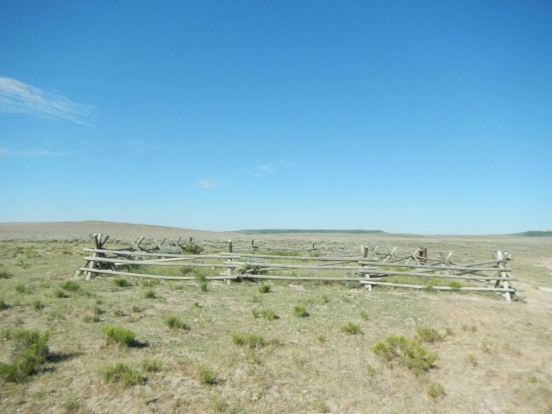
3. Alfred Corum Grave Site
Credits. This page was last revised on August 16, 2021. It was originally submitted on August 16, 2021, by Barry Swackhamer of Brentwood, California. This page has been viewed 424 times since then and 47 times this year. Photos: 1, 2, 3. submitted on August 16, 2021, by Barry Swackhamer of Brentwood, California.
