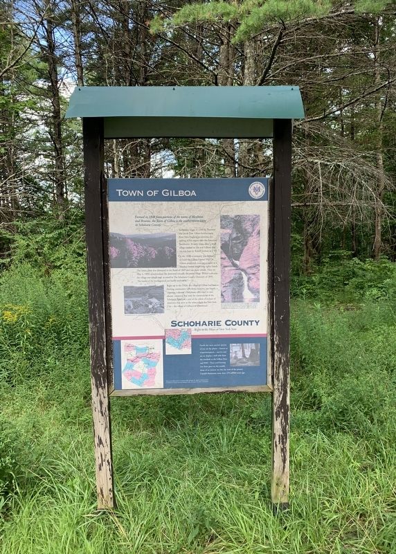
Near Gilboa in Schoharie County, New York — The American Northeast (Mid-Atlantic)
Town of Gilboa
Schoharie County
— Right in the Heart of New York State —
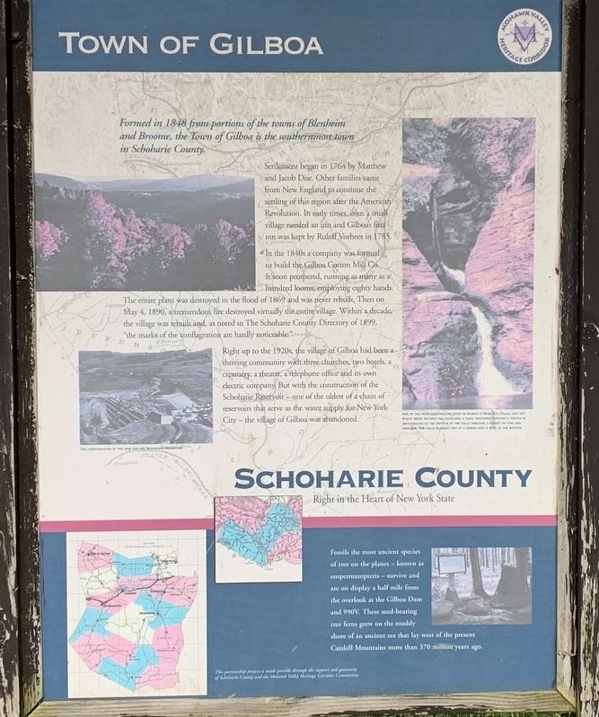
Formed in 1848 from portions of the towns of Blenheim and Broome, the Town of Gilboa is the southernimost town in Schoharie County.
Settlement began in 1764 by Matthew and Jacob Dise. Other families came from New England to continue the settling of this region after the American Revolution. In early times, even a village needed an inn and Gilboa's first inn was kept by Ruloff Vorhees in 1785.
In the 1840s a company was formed to build the Gilboa Cotton Mill Co. It soon prospered, running as many as a hundred looms, employing eighty hands. The entire plant was destroyed in the flood of 1869 and was never rebuilt, Then on May 4, 1890, a tremendous fire destroyed virtually the entire village. Within a decade, the village was rebuilt and, as noted in The Schoharie County Directory of 1899, "the marks of the conflagration are hardly noticeable.
Right up to the 1920s, the village of Gilboa had been a thriving community with three churches, two hotels, a creamery, a theater, a telephone office and its own electric company, But with the construction of the Schoharie Reservoir- one of the oldest of a chain of reservoirs that serve as the water supply for New York City - the village of Gilboa was abandoned.
below:
Fossils the most ancient species of tree on the planet- known as cospermatopteris- survive and are on display a half mile from the overlook at the Gilboa Dam and 990V. These seed-bearing tree ferns grew on the muddy shore of an ancient sea that lay west of the present Catskill Mountains more than 370 million years ago.
Erected by Schoharie County and Mohawk Valley Heritage Commission.
Topics. This historical marker is listed in these topic lists: Disasters • Settlements & Settlers.
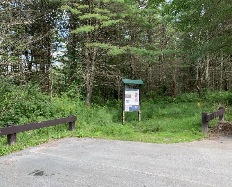
Location. 42° 25.638′ N, 74° 28.299′ W. Marker is near Gilboa, New York, in Schoharie County. Marker can be reached from New York 30, 0.1 miles north of Mine Kill Road, on the right when traveling north. Marker is at Mine Kill Falls Overlook. Touch for map. Marker is in this post office area: Gilboa NY 12076, United States of America. Touch for directions.
Other nearby markers. At least 8 other markers are within 3 miles of this marker, measured as the crow flies. The Long Path (a few steps from this marker); Blenheim-Gilboa Bluebird Trail (approx. 0.9 miles away); Manor House (approx. 1˝ miles away); The Gilboa Fossils (approx. 2.4 miles away); Schoharie County (approx. 2.4 miles away); Gilboa Settlement (approx. 2.7 miles away); Gen. Freegift Patchin (approx. 2.9 miles away); Indian Trail (approx. 3 miles away). Touch for a list and map of all markers in Gilboa.
Credits. This page was last revised on August 19, 2021. It was originally submitted on August 16, 2021, by Steve Stoessel of Niskayuna, New York. This page has been viewed 232 times since then and 26 times this year. Photos: 1, 2, 3. submitted on August 16, 2021, by Steve Stoessel of Niskayuna, New York. • Bill Pfingsten was the editor who published this page.


