Near Bruce in Brookings County, South Dakota — The American Midwest (Upper Plains)
Praise in the Park
August 15, 2021
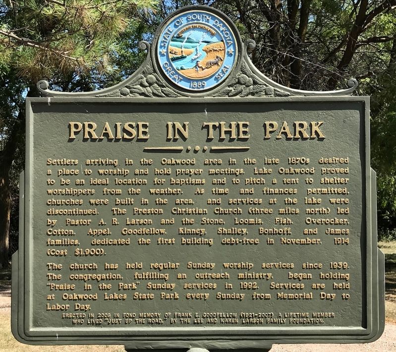
1. Praise in the Park Marker
The church has held regular Sunday worship services since 1939. The congregation, fulfilling an outreach ministry, began holding "Praise in the Park" Sunday services in 1992. Services are held at Oakwood Lakes State Park every Sunday from Memorial Day to Labor Day.
Erected in 2008 in fond memory of Frank E. Goodfellow (1921-2007) a lifetime member who lived "just up the road," by the Lee and Karen Larson Family Foundation.
Erected 2008 by the Lee and Karen Larson Family Foundation. (Marker Number 738.)
Topics and series.
this page online
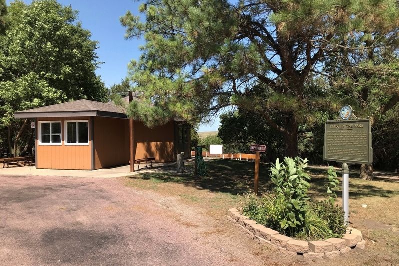
Location. 44° 27.278′ N, 96° 59.352′ W. Marker is near Bruce, South Dakota, in Brookings County. It is on 202nd Street 1.1 miles west of 462nd Avenue, on the right when traveling west. Located in Oakwood Lakes State Park, at the amphitheater. Touch for map. Marker is at or near this postal address: 20247 South Oakwood Shoreline Drive, Bruce SD 57220, United States of America. Touch for directions.

Regionally, this marker is in East River. It is also in the American Midwest, in the Lewis & Clark Corridor, in the Corn Belt, on the prairies, and on the Northern Plains. Globally, it is in North America, the Western Hemisphere, the Western World, and the Anglosphere. Historically, it finds itself in what was once Rupert’s Land and also the Louisiana Purchase.
Other nearby markers. At least 8 other markers are within walking distance of this marker: 'Ol Spot Mortimer's Cabin (about 300 feet away, measured
August 15, 2021
2. Praise in the Park Marker at the Amphitheater
Credits. This page was last revised on April 18, 2025. It was originally submitted on August 18, 2021. This page has been viewed 282 times since then and 26 times this year. Photos: 1, 2. submitted on August 18, 2021. • Bill Pfingsten was the editor who published this page.
