
Newhalem in Skagit County, Washington — The American West (Northwest)
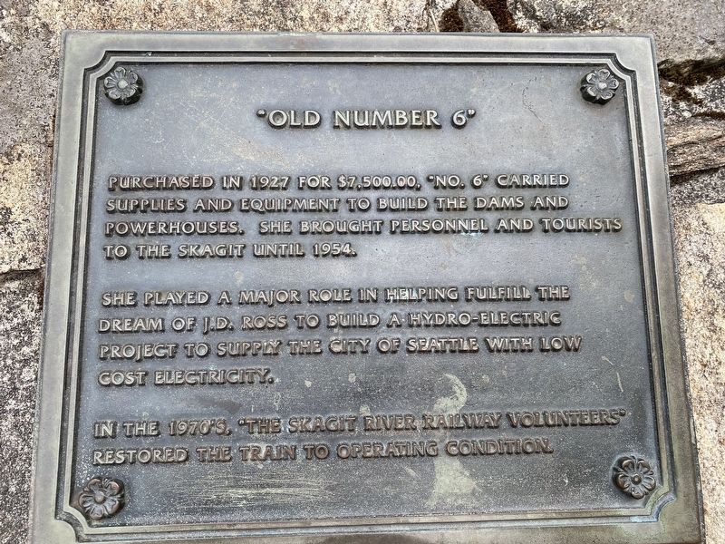
Old Number 6
Photographed by Col. James F. Jamison, USMC (Ret)
1. Old Number 6 Marker
Topics. This historical marker is listed in this topic list: Railroads & Streetcars. A significant historical year for this entry is 1954.
Location. 48° 40.413′ N, 121° 14.806′ W. Marker is in Newhalem, Washington, in Skagit County. It is on Washington Route 20, on the right when traveling east. Touch for map. Marker is in this post office area: Rockport WA 98283, United States of America. Touch for directions.

Regionally, this marker is in Washington’s Puget Sound Region. It is also on the American Pacific Coast, in the Pacific Northwest, and in the Lewis & Clark Corridor. Globally, it is in North America, in the Cascade Range, in the Inside Passage, on the Ring of Fire, in the Pacific Rim, in
this page online
Other nearby markers. At least 8 other markers are within 8 miles of this marker, measured as the crow flies: Gorge Powerhouse (approx. ¼ mile away); Welcome to Ladder Creek Falls & Gardens (approx. 0.3 miles away); Electric Forest (approx. 0.3 miles away); Lighting of the Falls (approx. 0.4 miles away); Gorge High Dam (approx. 2.4 miles away); Transmission Lines (approx. 2½ miles away); Chain of Dams (approx. 2½ miles away); The North Cascades (approx. 7.3 miles away). Touch for a list and map of all markers in Newhalem.
Additional keywords. Ross Dam
Photographed by Col. James F. Jamison, USMC (Ret)
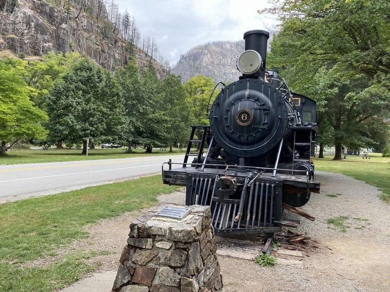
2. Old Number 6 Engine inside North Cascades NP
Credits. This page was last revised on August 30, 2021. It was originally submitted on August 21, 2021, by Col. James F. Jamison, USMC (Ret) of Coronado, California. This page has been viewed 600 times since then and 39 times this year. Photos: 1, 2. submitted on August 24, 2021, by Col. James F. Jamison, USMC (Ret) of Coronado, California. • Bill Pfingsten was the editor who published this page.
