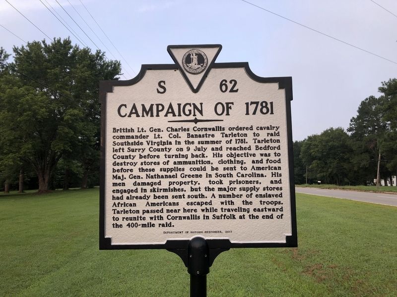
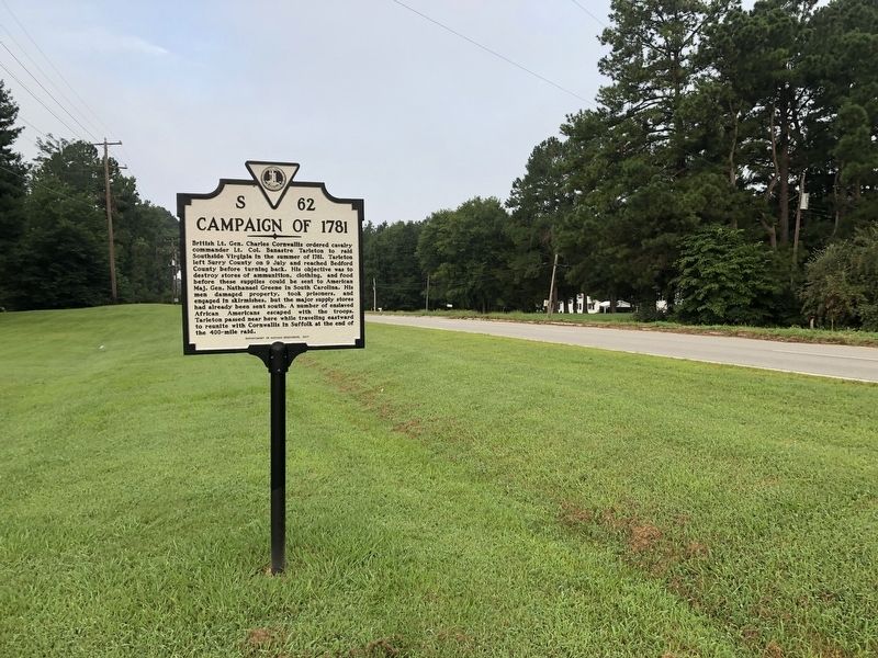
Near Dinwiddie in Dinwiddie County, Virginia — The American South (Mid-Atlantic)
Campaign of 1781
Erected 2017 by Department of Historic Resources. (Marker Number S-62.)
Topics and series. This historical marker is listed in these topic lists: Abolition & Underground RR • African Americans • War, US Revolutionary. In addition, it is included in the Virginia Department of Historic Resources (DHR) series list. A significant historical year for this entry is 1781.
Location. 37° 3.825′ N, 77° 36.378′ W. Marker is near Dinwiddie, Virginia, in Dinwiddie County. Marker is at the intersection of Gatewood Road (Virginia Route 656) and Boydton Plank Road (U.S. 1), on the right when traveling south on Gatewood Road. Touch for map. Marker is at or near this postal address: 15106 Gatewood Rd, Dinwiddie VA 23841, United States of America. Touch for directions.
Other nearby markers. At least 8 other markers are within 2 miles of this marker, measured as the crow flies. Dinwiddie Courthouse (approx. 1.3 miles away); Scott's Law Office (approx. 1.4 miles away); Dinwiddie Court House (approx. 1.4 miles away); Battle of Dinwiddie Court House (approx. 1.4 miles away); Early Education in Dinwiddie County (approx. 1.4 miles away); Dinwiddie Confederate Monument (approx. 1.4 miles away); The War of 1812 / Winfield Scott (approx. 1˝ miles away); Vaughan Road (approx. 1.8 miles away). Touch for a list and map of all markers in Dinwiddie.
Related marker. Click here for another marker that is related to this marker. Old Marker At This Location also titled "Campaign of 1781".
Credits. This page was last revised on November 5, 2021. It was originally submitted on August 21, 2021, by Devry Becker Jones of Washington, District of Columbia. This page has been viewed 178 times since then and 19 times this year. Photos: 1, 2. submitted on August 21, 2021, by Devry Becker Jones of Washington, District of Columbia.

