Near Arcadia in Claiborne Parish, Louisiana — The American South (West South Central)
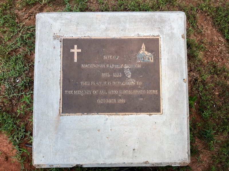
Site of Macedonia Baptist Church
1892-1994
Photographed by Wesley Harris, July 10, 2021
1. Macedonia Baptist Church Marker
This plaque is dedicated to all those who worshipped here.
October 1997
Erected 1997.
Topics. This historical marker is listed in this topic list: Religion & Religious Structures. A significant historical year for this entry is 1892.
Location. 32° 37.422′ N, 92° 53.579′ W. Marker is near Arcadia, Louisiana, in Claiborne Parish. It is on Macedonia Road (Parish Road 116) 2.7 miles west of State Route 151, on the right when traveling west. Touch for map. Marker is in this post office area: Arcadia LA 71001, United States of America. Touch for directions.

Regionally, this marker is in North Louisiana. It is also in the American South, specifically in the Deep South, and in the Piney Woods. Globally, it is in North America, a Gulf of Mexico state, the Western Hemisphere, the Western World, and the Anglosphere. Historically, it finds itself in what was once the territory of the Mississippian Culture, the Louisiana Purchase, one of the Confederate States of America, and the Antebellum South.
Other nearby markers. At least 8 other markers are within 12 miles of this marker, measured as the crow flies: Claiborne Parish Confederate Monument
this page online
More about this marker. Concrete marker several yards north of the roadway.
Credits. This page was last revised on April 1, 2024. It was originally submitted on August 23, 2021, by Wesley Harris of Ruston, Louisiana. This page has been viewed 557 times since then and 26 times this year. Photo 1. submitted on August 23, 2021, by Wesley Harris of Ruston, Louisiana. • Mark Hilton was the editor who published this page.
Editor’s want-list for this marker. A wide shot of the marker and its surroundings. • Can you help?
