Lawton in Comanche County, Oklahoma — The American South (West South Central)
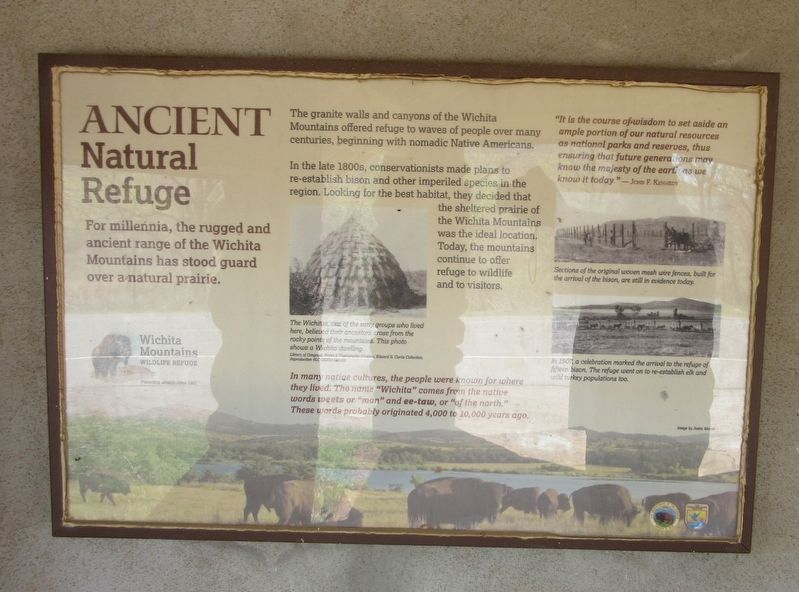
Ancient Natural Refuge
For millennia, the rugged and ancient range of the Wichita Mountains has stood guard over a natural prairie.
The granite walls and canyons of the Wichita Mountains offered refuge to waves of people over many centuries, beginning with nomadic Native Americans.
In the 1800s, conservationists made plans to re-establish bison and other imperiled species in the region. Looking for the best habitat, they decide that the sheltered prairie of the Wichita Mountains was ideal location. Today, the mountains continue to offer refuge to wildlife and to visitors.
The Wichitas, one of the early groups who lived here, believed their ancestors arose from the rocky points of the mountains. This photo show a Wichita dwelling.
In many native cultures, the people were known for where they lived. The name "Wichita" comes from the native words weets or "man" and ee-taw, or "of the north." These words probably originated 4,000 to 10,000 years ago.
"It is the course of wisdom to set aside an ample portion of our natural resources as national parks and reserves, thus ensuring that future generations may know the majesty of the earth as we know it today." — John F. Kennedy
Sections of the original woven mesh wire fences, built for the arrival of the bison, are still in evidence today.
In 1907, a celebration marked the arrival to the refuge of fifteen bison, The refuge went on to re-establish elk and wild turkey populations too.
Erected by Wichita Mountains Wildlife Refuge.
Topics. This historical marker is listed in these topic lists: Animals • Charity & Public Work • Native Americans. A significant historical year for this entry is 1800.
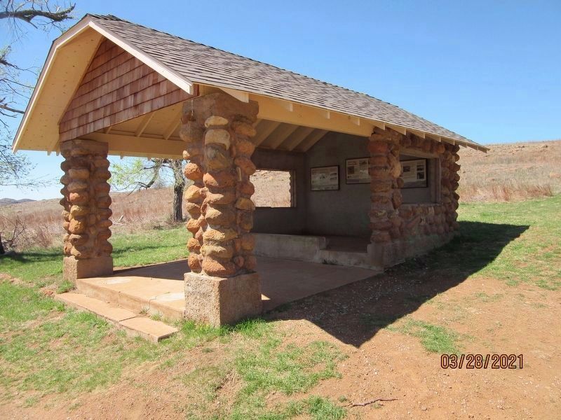
Location. 34° 43.004′ N, 98° 36.337′ W. Marker is in Lawton, Oklahoma, in Comanche County. Marker is on Cache Meers Road (State Highway 49/115) 1˝ miles south of State Highway 49, on the left when traveling north. The marker is located in shelter on side of road. Touch for map. Marker is in this post office area: Lawton OK 73507, United States of America. Touch for directions.
Other nearby markers. At least 7 other markers are within 12 miles of this marker, measured as the crow flies. Historic Homesteads (here, next to this marker); The New Deal Comes to the Refuge (here, next to this marker); Ferguson House (a few steps from this marker); The Civilian Conservation Corps and Wichita Mountains Wildlife Refuge (approx. 1.1 miles away); Chief Stumbling Bear Pass (approx. 7.8 miles away); Cpt Riley L. Pitts (approx. 10˝ miles away); Camp Doniphan (approx. 11.1 miles away).
Credits. This page was last revised on September 1, 2021. It was originally submitted on August 26, 2021, by Jason Armstrong of Talihina, Oklahoma. This page has been viewed 143 times since then and 29 times this year. Photos: 1, 2. submitted on August 26, 2021, by Jason Armstrong of Talihina, Oklahoma. • Devry Becker Jones was the editor who published this page.

