Poplar Bluff in Butler County, Missouri — The American Midwest (Upper Plains)
Poplar Bluff Historic Depot
Grand Staircase Renovation
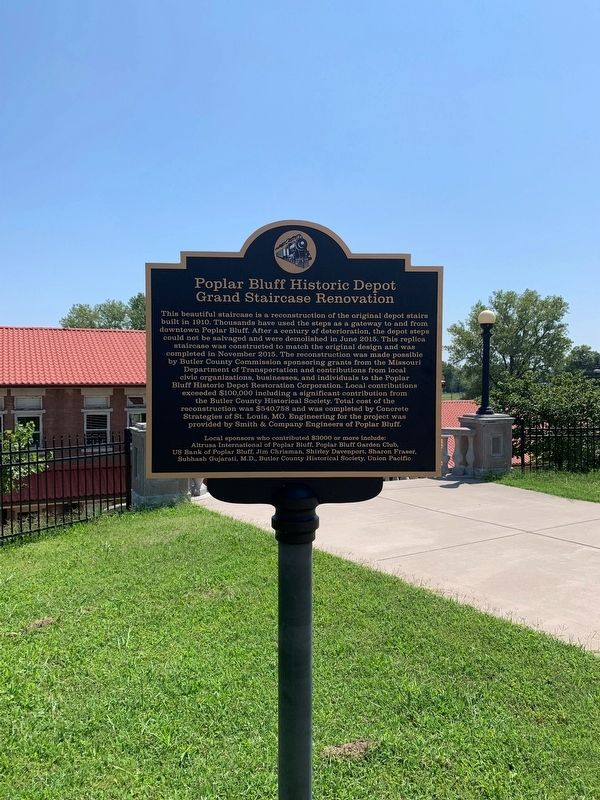
Photographed by Thomas Smith, August 23, 2021
1. Poplar Bluff Historic Depot Marker
Erected by Altrussa International of Popular Bluff, Popular Bluff Garden Club; US Bank of Popular Bluff, Popular Bluff, Jim Chrisman , Shirley Davenport , Sharon Fraser, Subhash Gujarati,
this page online
Topics. This historical marker is listed in these topic lists: Architecture • Settlements & Settlers. A significant historical year for this entry is 1910.
Location. 36° 45.242′ N, 90° 23.619′ W. Marker is in Poplar Bluff, Missouri, in Butler County. It is on South Main Street 0.1 miles south of Cedar Street, on the left when traveling south. Touch for map. Marker is at or near this postal address: 400 S Main St, Poplar Bluff MO 63901, United States of America. Touch for directions.

Regionally, this marker is in the Missouri Bootheel. It is also in the American Lewis & Clark Corridor and in the Corn Belt. Globally, it is in North America, the Western Hemisphere, the Western World, and the Anglosphere. Historically, it finds itself in what was once the territory of the Mississippian Culture, the Louisiana Purchase, and the Antebellum South.
Other nearby markers. At least 6 other markers are within walking distance of this marker: Poplar Bluff (approx. 0.2 miles away); Pvt. Billie Gene Kanell (approx. 0.2 miles away); a different marker also named Poplar Bluff (approx.
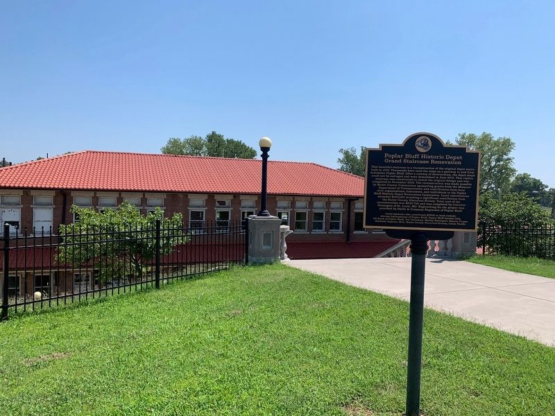
Photographed by Thomas Smith, August 23, 2021
2. Poplar Bluff Historic Depot Marker
Credits. This page was last revised on August 31, 2021. It was originally submitted on August 26, 2021, by Thomas Smith of Waterloo, Ill. This page has been viewed 374 times since then and 26 times this year. Photos: 1, 2. submitted on August 27, 2021, by Thomas Smith of Waterloo, Ill. • Devry Becker Jones was the editor who published this page.
