Near Lawton in Comanche County, Oklahoma — The American South (West South Central)
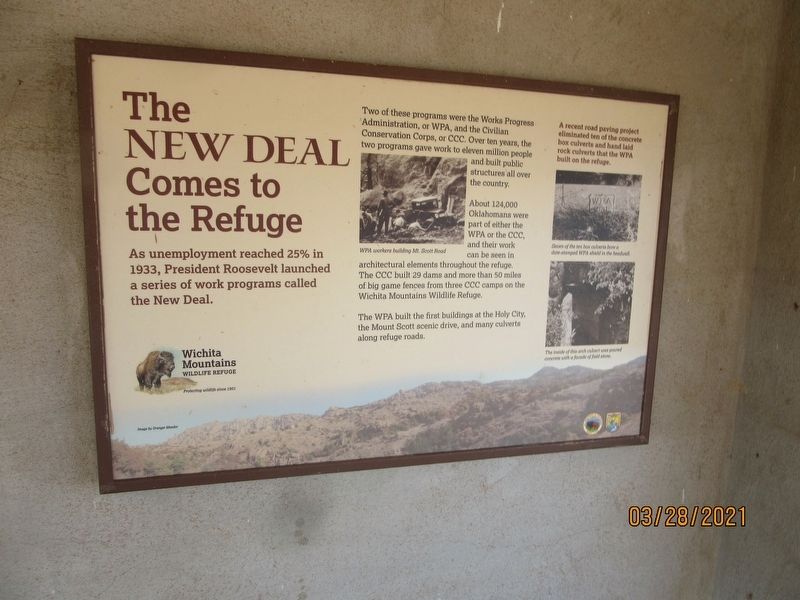
The New Deal Comes to the Refuge
As unemployment reached 25% in 1933, President Roosevelt launched a series of work programs called the New Deal.
Two of these programs were the Works Progress Administration, or WPA, and the Civilian Conservation Corps, or CCC. Over ten years, the two programs gave work to eleven million people and built public structures all over the country.
About 124,000 Oklahomans were part of either the WPA or the CCC, and their work can be seen in architectural elements throughout the refuge. The CCC built 29 dams and more than 50 miles of big game fences from three CCC camps on the Wichita Mountains Wildlife Refuge.
The WPA built the first buildings at the Holy City, the Mount Scott scenic drive, and many culverts along refuge roads.
A recent road paving project eliminated ten of the concrete box culverts and hand laid rock culverts that the WPA built on the refuge.
Captions:
WPA workers building Mt. Scott Road.
Seven of the ten box culverts bore a date-stamped WPS shield in the headwall.
The inside of this arch culvert was poured concrete with a façade of field stone.
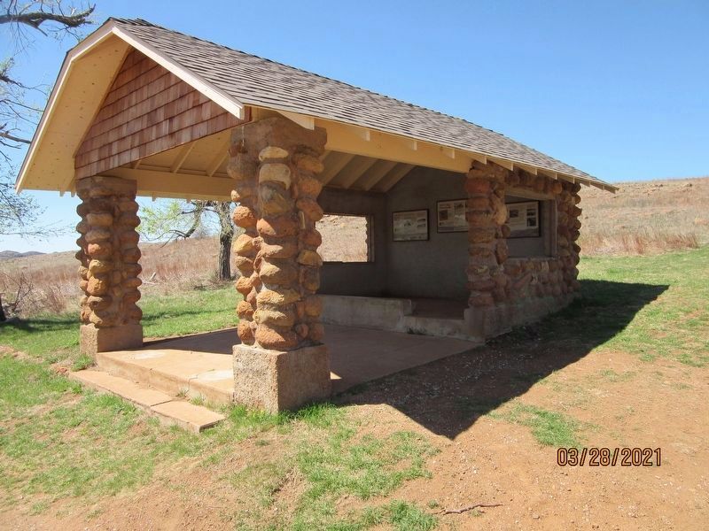
Erected by Wichita Mountains Wildlife Refuge.
Topics. This historical marker is listed in these topic lists: Charity & Public Work • Roads & Vehicles. A significant historical year for this entry is 1933.
Location. 34° 43.005′ N, 98° 36.335′ W. Marker is near Lawton, Oklahoma, in Comanche County. Marker is on Cache Meers Road (State Highway 115) one mile east of U.S. 115, on the left when traveling east. Touch for map. Marker is in this post office area: Meers OK 73558, United States of America. Touch for directions.
Other nearby markers. At least 7 other markers are within 12 miles of this marker, measured as the crow flies. Historic Homesteads (here, next to this marker); Ancient Natural Refuge (here, next to this marker); Ferguson House (a few steps from this marker); The Civilian Conservation Corps and Wichita Mountains Wildlife Refuge (approx. 1.1 miles away); Chief Stumbling Bear Pass (approx. 7.8 miles away); Cpt Riley L. Pitts (approx. 10½ miles away); Camp Doniphan (approx. 11.1 miles away).
Credits. This page was last revised on September 1, 2021. It was originally submitted on August 27, 2021, by Jason Armstrong of Talihina, Oklahoma. This page has been viewed 139 times since then and 26 times this year. Photos: 1, 2. submitted on August 27, 2021, by Jason Armstrong of Talihina, Oklahoma. • J. Makali Bruton was the editor who published this page.

