Kelly Township near Lewisburg in Union County, Pennsylvania — The American Northeast (Mid-Atlantic)
Grove's Mill
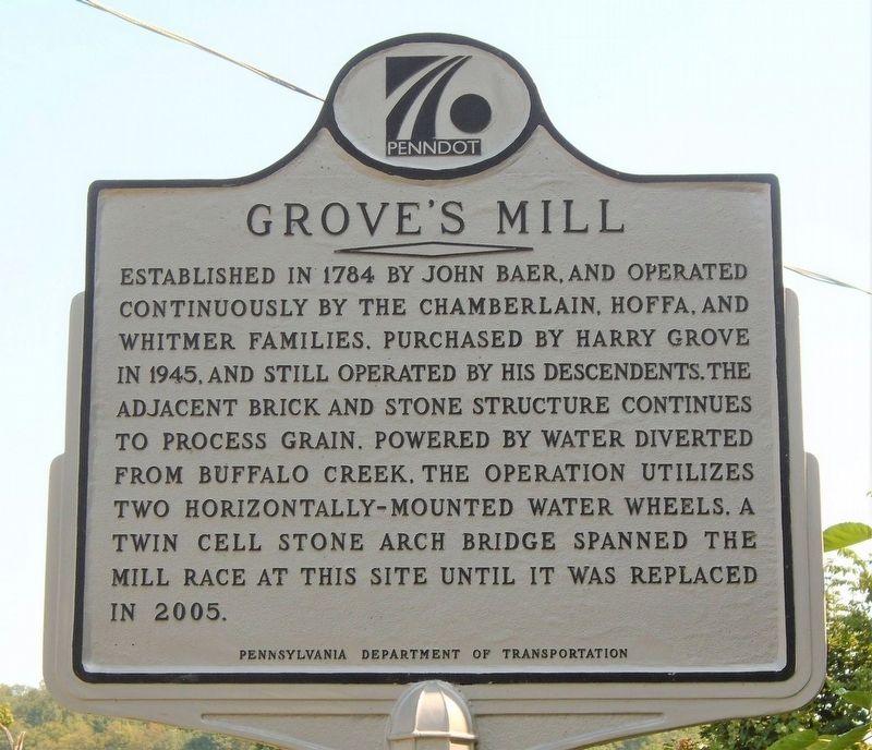
Photographed by William Fischer, Jr., August 25, 2021
1. Grove's Mill Marker
Erected by Pennsylvania Department of Transportation.
Topics. This historical marker is listed in this topic list: Notable Buildings. A significant historical year for this entry is 1784.
Location. 40° 58.48′ N, 76° 57.28′ W. Marker is near Lewisburg, Pennsylvania, in Union County. It is in Kelly Township. It is on Hoffa's Mill Road (County Route 1003) 0.8 miles north of Buffalo Road (Pennsylvania Route 192), on the left when traveling north. Touch for map. Marker is at or near this postal address: 3013 Hoffa Mill Road, Lewisburg PA 17837, United States of America. Touch for directions.

Regionally, this marker is in the Susquehanna Valley. It is also in the American
this page online
Other nearby markers. At least 8 other markers are within 4 miles of this marker, measured as the crow flies: Buffalo Presbyterian Church (approx. 1.1 miles away); Buffalo Church (approx. 1.1 miles away); Col. John Kelly (approx. 1.7 miles away); a different marker also named Buffalo Church (approx. 2.1 miles away); Samuel Maclay (approx. 2.3 miles away); Max Gill Witness Tree (approx. 2.6 miles away); Daniel F. Green (approx. 3.4 miles away); Gordon A. Hufnagle Park (approx. 3.6 miles away). Touch for a list and map of all markers in Lewisburg.
Also see . . . Groves Mill / Hoffa Mill. (Submitted on August 27, 2021, by William Fischer, Jr. of Reynoldsburg, Ohio.)
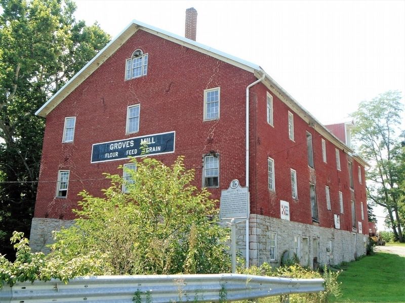
Photographed by William Fischer, Jr., August 25, 2021
2. Grove's Mill and Marker
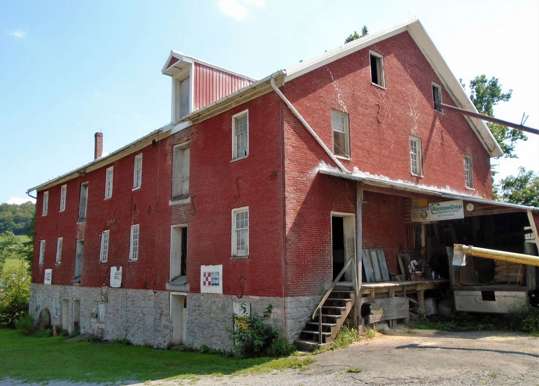
Photographed by William Fischer, Jr., August 25, 2021
3. Grove's Mill
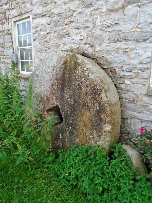
Photographed by William Fischer, Jr., August 25, 2021
4. Grove's Mill Old Millstone
Credits. This page was last revised on February 7, 2023. It was originally submitted on August 27, 2021, by William Fischer, Jr. of Reynoldsburg, Ohio. This page has been viewed 1,070 times since then and 111 times this year. Photos: 1, 2, 3, 4. submitted on August 27, 2021, by William Fischer, Jr. of Reynoldsburg, Ohio.
