Near Charters in Lewis County, Kentucky — The American South (East South Central)
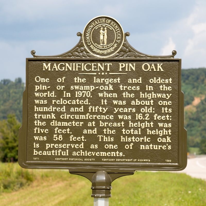
Magnificent Pin Oak
Photographed by J. J. Prats, August 23, 2021
1. Magnificent Pin Oak Marker
Erected 1971 by Kentucky Historical Society and Kentucky Department of Highways. (Marker Number 1393.)
Topics and series. This historical marker is listed in this topic list: Horticulture & Forestry. In addition, it is included in the Kentucky Historical Society series list. A significant historical year for this entry is 1970.
Location. 38° 35.07′ N, 83° 25.199′ W. Marker is near Charters, Kentucky, in Lewis County. It is at the intersection of Kentucky Route 9 and Ben Willim Branch Road, on the left when traveling east on Kentucky Route 9. It is just west of the intersection. Touch for map. Marker is in this post office area: Vanceburg KY 41179, United States of America. Touch for directions.

Regionally, this marker is in the American South, specifically in the Upper
this page online
Other nearby markers. At least 8 other markers are within 6 miles of this marker, measured as the crow flies: Esculapia Springs (approx. 1.1 miles away); Route for Horses and Cattle (approx. 5.2 miles away); Commercial Hotel (approx. 5.6 miles away); Halbert House (approx. 5.6 miles away); Vanceburg Depot (approx. 5.6 miles away); Stamper Block (approx. 5.7 miles away); Carter House (approx. 5.7 miles away); Hickle’s Pool Room (approx. 5.7 miles away).
Photographed by J. J. Prats, August 23, 2021
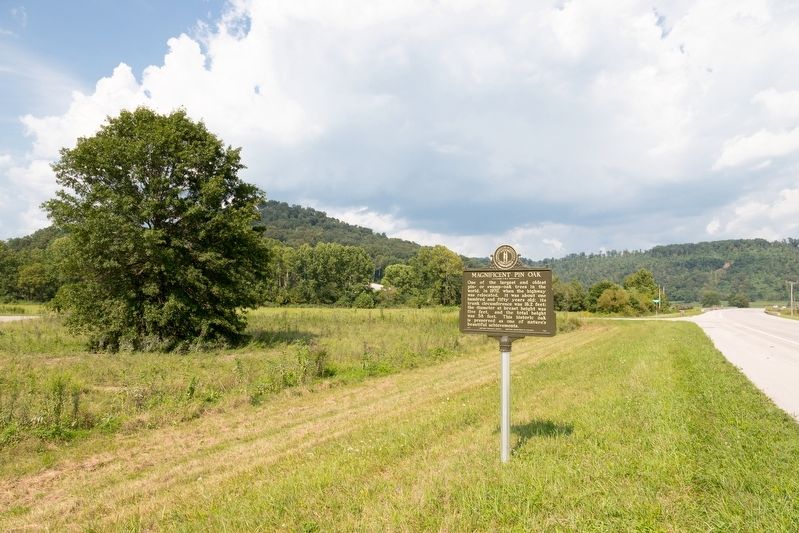
2. Magnificent Pin Oak Marker
The tree on the left could be the Magnificent Pin Oak mentioned on the marker.
Photographed by J. J. Prats, August 23, 2021
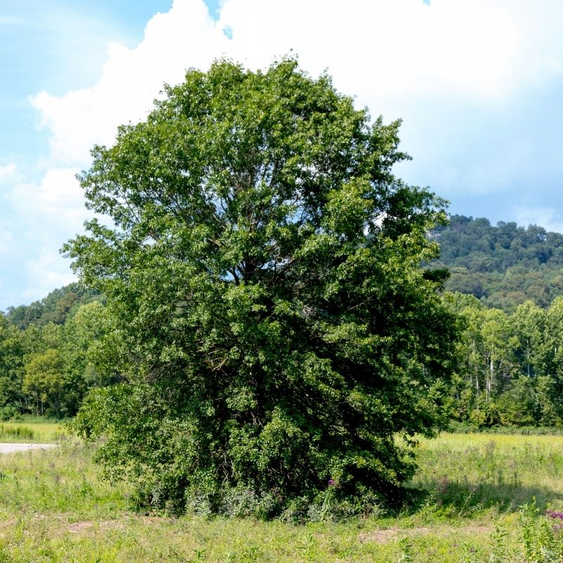
3. Perhaps This is the Magnificent Pin Oak
It is right next to the marker.
Credits. This page was last revised on August 27, 2021. It was originally submitted on August 27, 2021, by J. J. Prats of Powell, Ohio. This page has been viewed 1,620 times since then and 116 times this year. Photos: 1, 2, 3. submitted on August 27, 2021, by J. J. Prats of Powell, Ohio.
